News
The latest news and press releases from Ordnance Survey
Filters (1)
Page 1
Iconic Blackpool Pleasure Beach mapped in unprecedented 3D detail for the first time to aid emergency services
The mapping will support safer, more effective emergency planning and response.
- News
How Ordnance Survey is bringing together leaders and innovators to explore how location can help tackle real-world challenges
The OS Innovation Festival in June will build on the success of last year's inaugural event, with more than 250 people expected.
- News
Ordnance Survey recognised for leadership within the global geospatial sector
Ordnance Survey has been awarded National Geospatial Agency of the Year by Geospatial World.
- News
Geovation marks ten years of the Accelerator Programme with the launch of its 22nd cohort
The startups will be tackling some of the UK's most pressing challenges using location, land, and property data.
- News
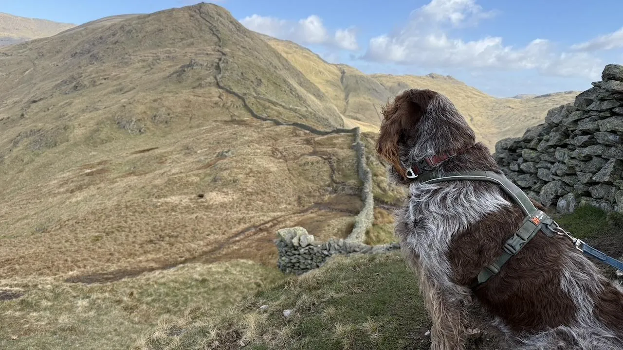
Ordnance Survey reveals new series of dog-friendly short walks made easy guides for three National Parks
The new well-researched guides highlight everything dog owners need for safe and enjoyable outings in the Peak District, the Lake District and the Yorkshire Dales.
- News
Innovative comms system will save vital time in multi-agency emergency responses
The system is supported by Ordnance Survey data and follows a recommendation from the Grenfell Tower Inquiry.
- News
New national cycle lane data will support local authorities and central Government in promoting Active Travel and public safety
The Government is aiming to increase the number of local journeys being walked, wheeled or cycled by 2030.
- News
Openreach joining the National Underground Asset Register ‘a giant step forward’
NUAR has over three million kilometres of buried infrastructure mapped on the platform, now that Openreach has joined.
- News
Ordnance Survey seeks new charity partner with a focus on education and digital inclusion
OS is looking for a charity it can join forces with to tackle issues around digital exclusion in education.
- News