This category provides data on water bodies, tidelines, and river networks across Great Britain, supporting environmental monitoring, flood modelling, infrastructure planning, and ecological research. From topographic water features to structured network models, this data enables you to visualise, analyse, and manage aquatic environments.

Water data
Explore mapping data designed for water bodies, tidelines and river networks

What is water data?
Features of water data
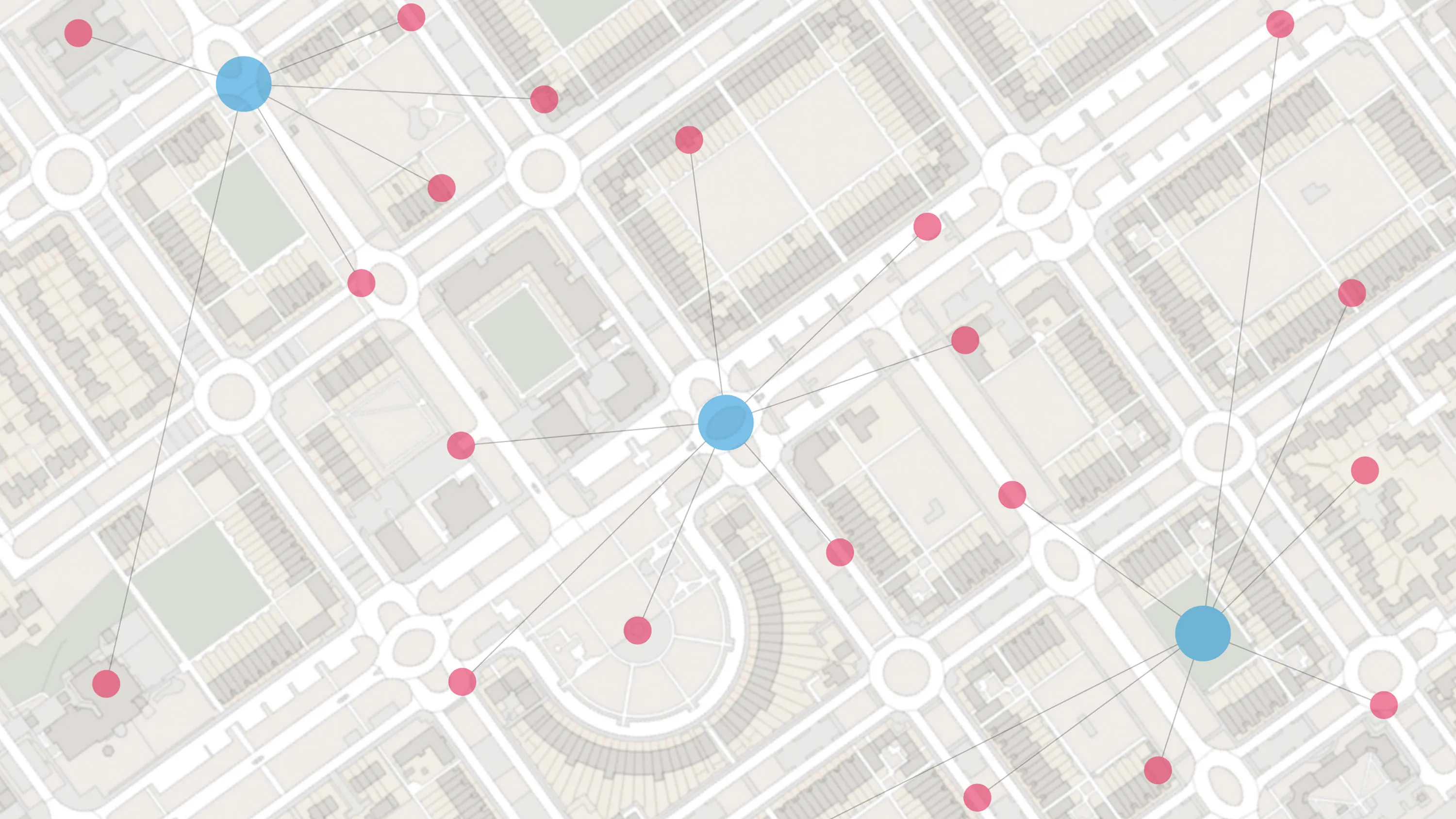
Comprehensive water network modelling
Access a three-dimensional, link-and-node structure of rivers, streams, canals, and drains for modelling water movement, predicting floods, and managing pollution.
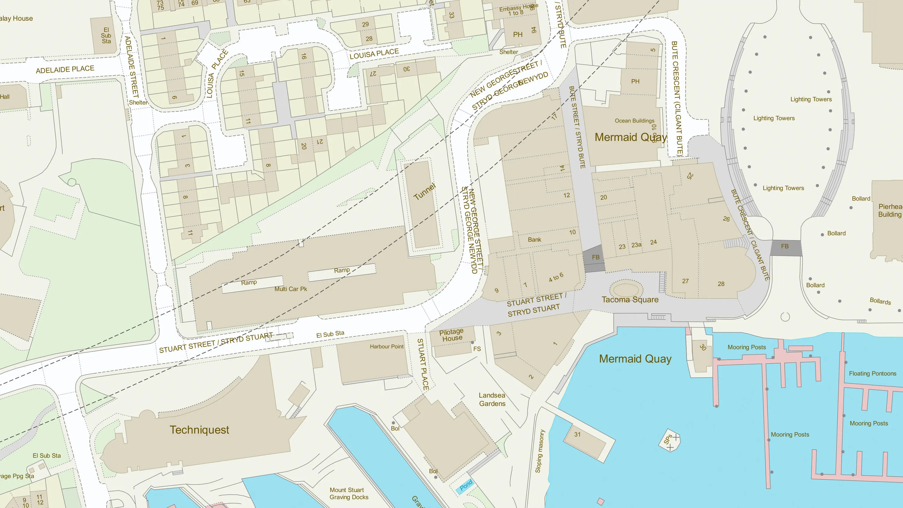
Accurate water extent mapping
Visualise the precise extent of lakes, lochs, springs, and intertidal zones, to support detailed analysis of water areas and their surrounding environments.
Rich water attribution
Use detailed attribution for water network links - such as width, gradient and flow direction - to support species migration studies, upstream pollution monitoring, and statutory directive management.
Topographic water features
Map and analyse a wide range of water features, including river basin catchments and tidal boundaries, for contextual and environmental mapping.
Up-to-date, connected datasets
Benefit from regularly updated water feature and network data, with identifiers that link features together for comprehensive analysis and integration with other datasets.
Sector-ready intelligence
From flood risk assessment and habitat protection to infrastructure planning and ecological research, this collection delivers actionable insights for a wide range of sectors.
Products offering these key features
This features table highlights which features are available in water products.
| Feature | Products |
| Water bodies (e.g. lakes and rivers) | |
| Water connectivity network | |
| Tidal boundaries |
Water products
OS Water Features
See water network and river network data across Great Britain, including water area features such as watercourses, lakes, drains, springs, and intertidal watercourses.
OS Water Network
Conduct water mapping with a three-dimensional structured link and node network of watercourses across Great Britain.
OS MasterMap Topography Layer
OS MasterMap Topography layer provides a map dataset of Great Britain's landscape – from roads to fields, to buildings and trees, fences, paths and more.
OS Open Linked Identifiers
An open dataset of cross-referenced identifiers between various OS data products.
OS Open TOID
A dataset of unique identifiers for a wide range of land-scape and built environment features with a generalised location from OS MasterMap products.
OS Open Rivers
An open dataset of the high-level view of watercourses in Great Britain.


Data access APIs
OS NGD API – Features
Perform powerful geospatial analysis. Filter the data to receive exactly what you need, as and when you need it.
OS Features API
With OS Features API, you can filter Ordnance Survey data for buildings, roads, rivers, hospitals, playing fields, and greenspaces.
OS Vector Tile API
A vector tile service providing detailed Ordnance Survey data as a customisable basemap.
OS Linked Identifiers API
Access the relationships between properties, streets and OS MasterMap identifiers for free.

See how others are using water products

Sustainable homes, with Southern Housing
Southern Housing is one of the largest housing associations in the UK, owning and managing...

Protecting Hampshire’s nature - Nitrate neutrality in the Solent
Natural England, the agency responsible for helping protect England’s natural...

Plotting the possibilities, with Plot Map
PropertyData empowers property investors, developers, and agents to make data-driven...