OS Linked Identifiers API
What OS Linked Identifiers API provides you with
Up-to-date relationships
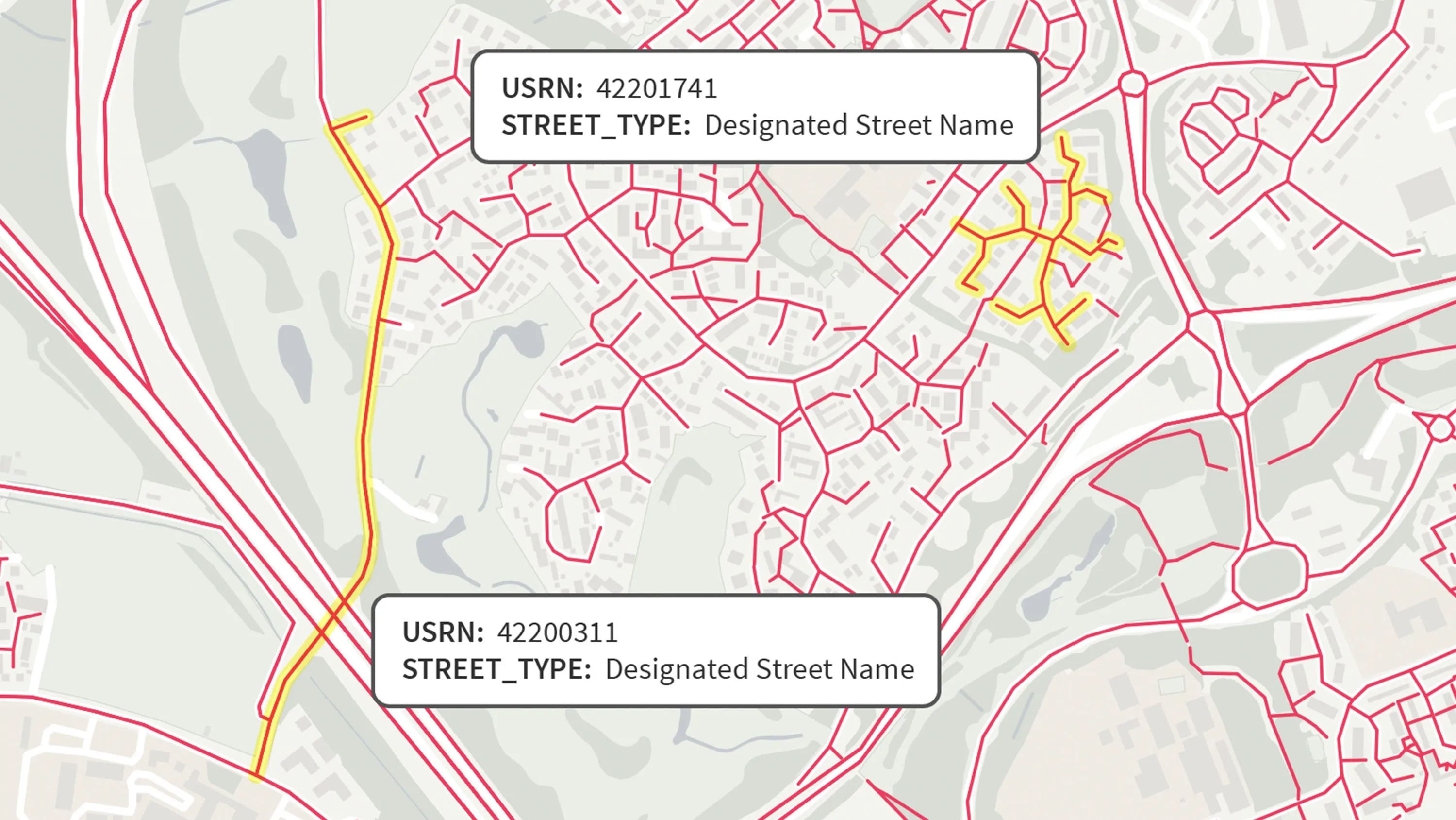
Link together datasets that are using different identifiers; for example, linking a property address (UPRN) to the street that it’s on (USRN).
Detailed, searchable data
The OS Linked Identifiers API gives direct access to identifiers for many feature types such as address records, building outlines, road surface area, road names, road sections and street records as well as the relationships between them that we provide links for.
Easy to integrate
OS Linked Identifiers API conforms to RESTful OpenAPI v3.0.2 specification and returns data in a readable JSON format. These standards integrate well with JavaScript and support the creation of sophisticated interactive map web applications in conjunction with our OS Maps API, OS Vector Tile API and OS Features API.
Reduce your overheads
No need to download, store and manage large and complex datasets; we take care of that so you can focus on adding value.
Use cases
- Connect property (UPRN) and street (USRN) identifiers to enrich datasets and support joined-up analysis across housing, transport, and planning.
- Enable clickable maps that display linked identifiers for buildings and roads, supporting user-friendly navigation and data exploration.
- Use authoritative relationships to validate and cross-reference identifiers, reducing errors in address and asset datasets.
Related information
OS Open Linked Identifiers relationships
Learn about the different relationships available within OS Linked Identifiers, an open dataset.
Open Identifiers product family
All you need to know about Identifiers and how they enable linking, analysing and visualising datasets.