CASE STUDY

Plotting the possibilities, with Plot Map

Empowering data-driven decisions to maximise development project success.

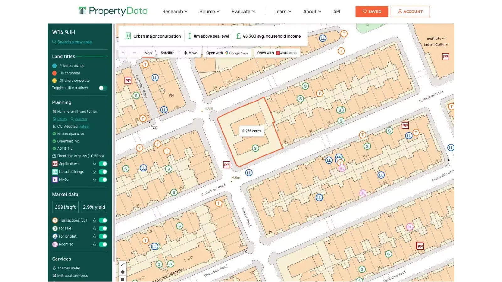
PropertyData empowers property investors, developers, and agents to make data-driven decisions with ease, at low cost. Plot Map, PropertyData’s high-resolution map of target developments (including everything from buildings and boundaries, to planning applications and land values) gives customers a view of any potential challenges.

|1 MIN READ

Challenge

Property projects come with huge risks, such as large-scale unforeseen costs, including time, resources, and the depletion of profit margins.

Evaluation of any potential property is therefore paramount for both the process of due diligence, and for maximising the chance of a project’s success.

Solution

Powered by OS Maps and OS Features APIs, Plot Map gives an accurate, real-world view of any given property, with the ability to drill down into the detail for robust due diligence.
Result

Plot Map means investors, developers, and agents can make data-driven decisions that save time, resources, and profits, making the most of any project’s possibilities.

"We wouldn't hesitate to recommend Ordnance Survey's maps and APIs to any UK companies that need the very best in home-grown mapping."

Michael Dent, PropertyData founder

Find a Partner to solve your geospatial challenges

Join up with one of our Licensed Partners to create your own success story

Our network of Partners can help you to find the right solution for your geospatial needs and help you to get the most value from OS data. Ranging from global giants to single entrepreneurs, our Partners all use our location data to create innovative products and services. 

Find a Partner

Partners, products and solutions featured in this study

  • 1Spatial

    1Spatial technology provides the foundations for spatial data management and processing solutions for organisations around the world.

  • 3XE Ltd

    3XE is a web application development company specialising in geographical information systems.

  • OS Maps API

    Accurate, up-to-date maps that offer the most convenient way to add detailed OS data to your application.

  • OS Features API

    An API to filter Ordnance Survey data for buildings, roads, rivers, hospitals, playing fields, greenspaces.