OS Open TOID
What OS Open TOID provides you with
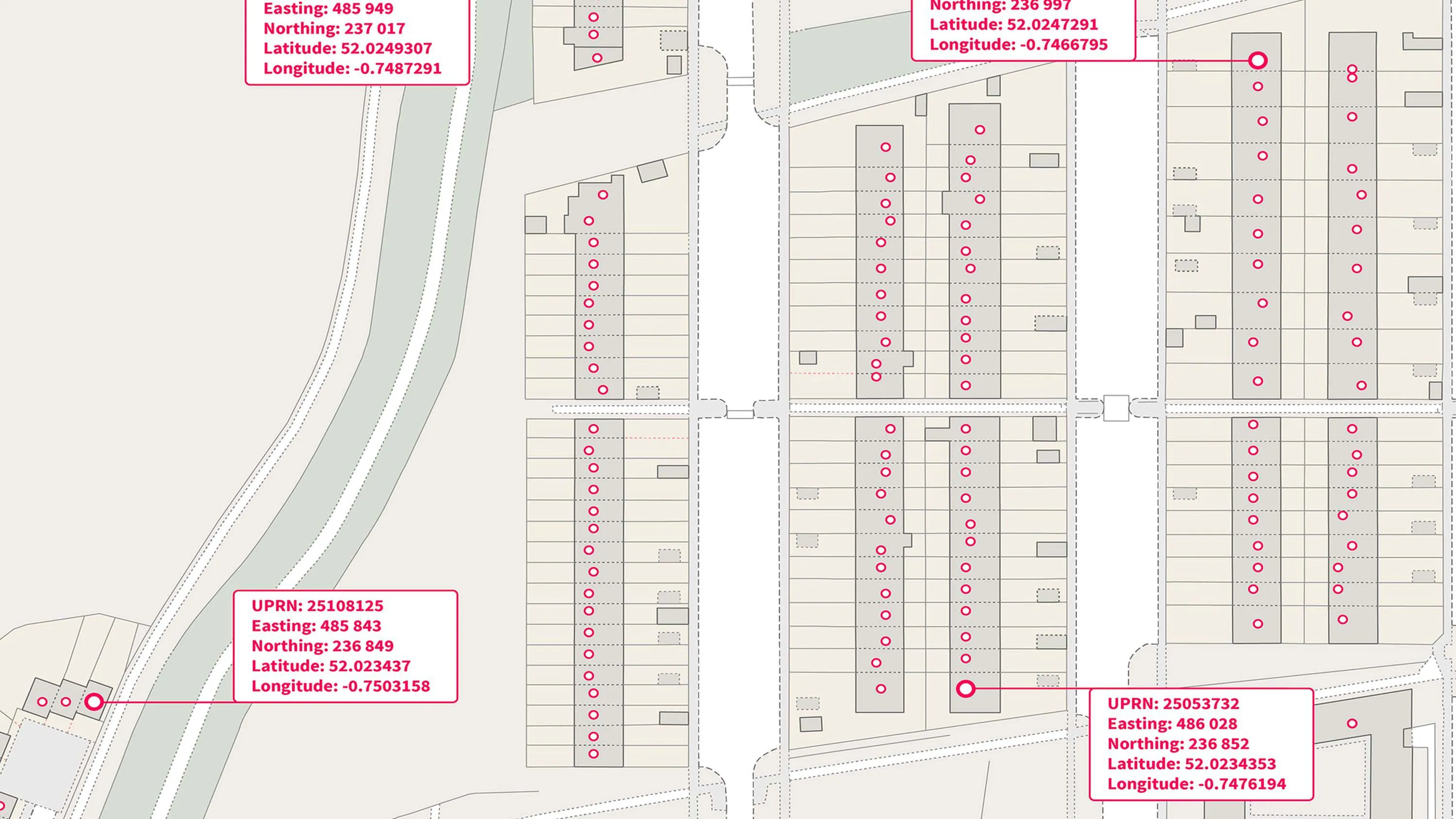
Authoritative identifiers for real world objects
TOIDs are the authoritative identifier assigned to and uniquely identifying real world objects, being essential for customers to link their own data to and track change over time.
Easy to share
OS Open TOID will enable data to be shared for a wide range of landscape and built environment features by providing them with a unique identity and generalised location that can be used by everyone.
Complete topographic data
All topographic points, lines and polygons present in OS MasterMap Topography Layer and junctions, roads and path present in OS MasterMap Highways Networks are also part of this product.
Authoritative source
The TOIDs in OS Open TOID are allocated by Ordnance Survey. This means you can have confidence you’re accessing an authoritative source of these identifiers.
Identifiers you can trust
The TOID is never re-used, once its allocated to a feature, that’s it, it will never change or be reused.
Use cases
- Track habitat changes or land use over time with spatial precision.
- TOIDs remain unchanged throughout a feature's lifecycle, ensuring continuity in visualisation and data sharing.
Related products
OS Open UPRN
An open dataset enabling linking, sharing and visualisation of data related to UPRNs.
OS Open USRN
An open dataset containing all USRNs from OS MasterMap Highways Network with a simplified line geometry.
OS Open Linked Identifiers
An open dataset of cross-referenced identifiers between various OS data products.