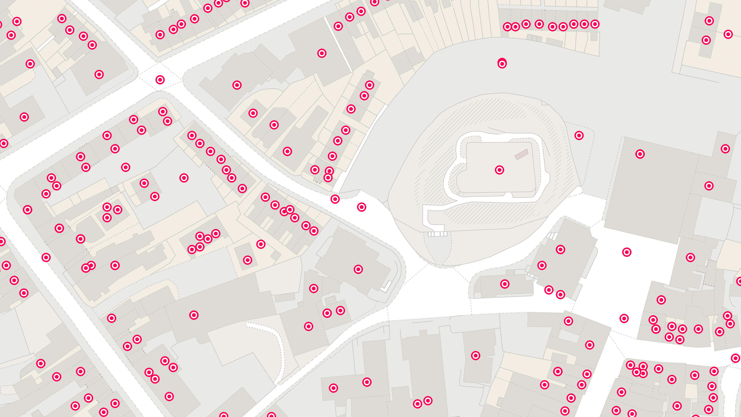
Lloyds Banking Group (LBG) is one of the UK’s largest financial services organisations. It provides retail and commercial banking services and supports customers across the housing and property sectors. Accurate address information is a crucial asset throughout LBG's processes, from onboard...
Case studies
Discover how Ordnance Survey data is driving more efficient decisions in organisations like yours
Found 91 results
Page 1

Smarter decision-making with Newark and Sherwood District Council
Newark and Sherwood District Council has used OS data to enable confident decision-making for public benefit.
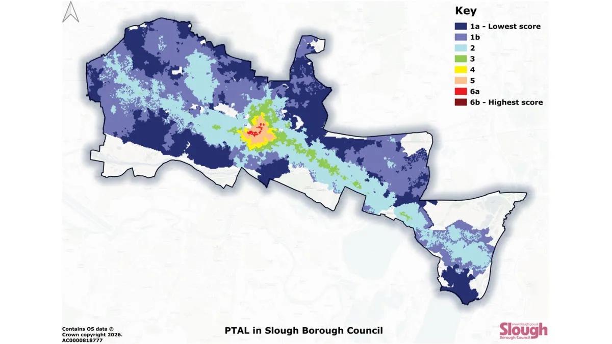
Improving accessibility to public transport with Slough Borough Council
Slough Borough Council has used OS data to map public transport accessibility. Gaining a clearer picture means the council are now able to more effectively target interventions – to improve accessibility, and make public transport more inclusive throughout Slough.
Sustainability, resilience, and nature recovery with Three Rivers District Council
Three Rivers District Council is on a mission to protect and enhance the local nature reserve – Rickmansworth Aquadrome. The nature reserve includes two large lakes, woodland, and open grassland, and is home to a wide range of wildlife.
The council’s priorities for the project...

Capturing the value of nature, with NatureScot
NatureScot, Scotland’s nature agency, has developed a new digital tool for farmers to assess the environmental value of their land. NatureScot’s tool, Farm Biodiversity Scotland, known as FarmBioScot, is being tested by farmers and crofters – allowing them to map habitats, asses...
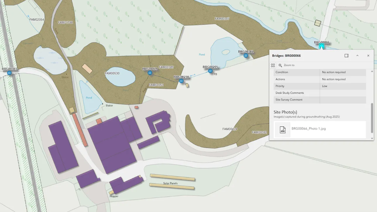
Crown Estate Scotland
Crown Estate Scotland manages rural estates — covering over 35,000 hectares of tenanted land, built assets, and infrastructure. Land use includes forests, historic buildings, farms, and more.
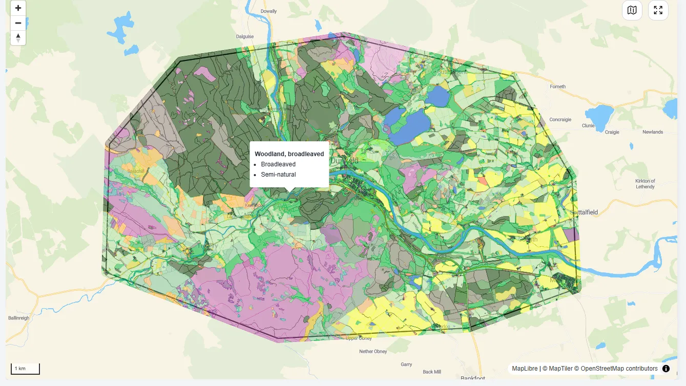
Putting nature at the heart of decision-making
NatureScot is Scotland’s nature agency, working to improve the natural environment (such as biodiversity, geodiversity, and the natural elements of land and seascapes). NatureScot has used OS MasterMap data to create a Natural Capital Tool, enabling people to put nature at the heart of deci...
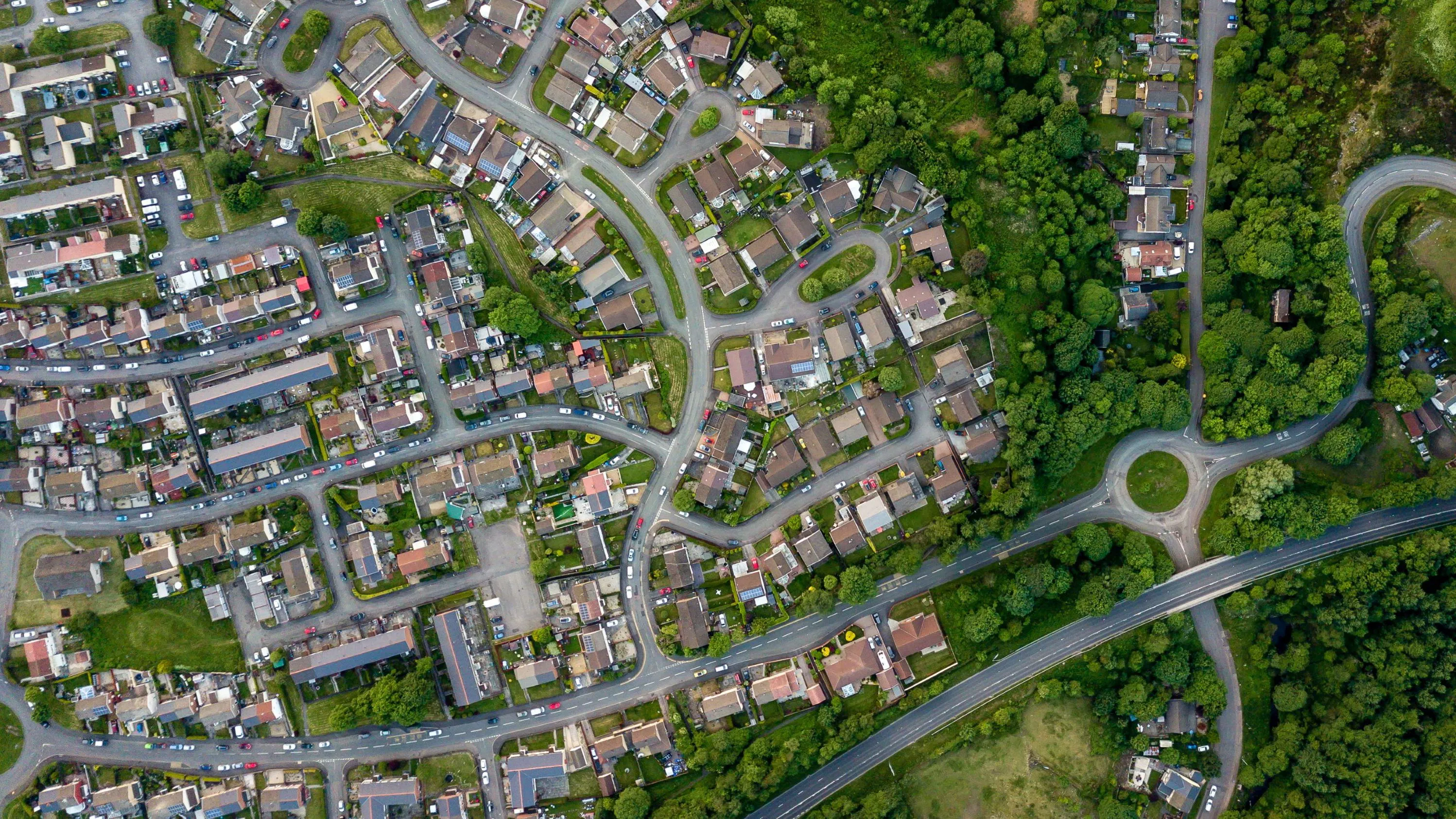
Enabling cleaner, greener communities with robust litter data
Keep Wales Tidy is a charity that has been developing a brand-new litter data methodology, taking pride in improving public spaces across Wales and protecting the environment now and for the future.
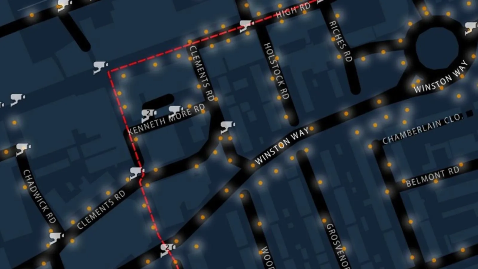
Safer routes for winter commutes
The Women’s Network at Redbridge London Borough Council wanted mapping highlighting the safest routes for them to take during winter darkness.
You have viewed 9 of 91 case studies