Challenge
The council needed to improve GIS and geospatial capabilities – by hiring a GIS lead, and adopting OS National Geographic Database (OS NGD) data.
On joining, their new GIS lead, Andy Ingall, discovered that the council’s geospatial environment was largely undeveloped, with minimal existing data.
The lack of a robust foundation was creating inefficiencies, and limited their ability to make informed decisions based on accurate, up-to-date data.
Solution
"We now use OS NGD data for everything we do. "
The council adopted all OS NGD products, successfully downloading and integrating the datasets into its database.
A robust process was implemented using the OS Downloads API, incorporating schema validation, change detection, and selective updates to make sure only new or modified records were uploaded to the database.
The team also leveraged the FME Downloads workbench provided by OS to automate data updates, eliminate manual checks, and enable scheduled downloads. Enhancements include automating Microsoft Teams notifications whenever data is updated, creating a streamlined workflow with minimal manual intervention.
Result
The result is a dynamic, accurate, and responsive geospatial foundation that underpins decision-making across the organisation. Users now benefit from a wide range of web maps, background mapping, and information services that bring local places to life.
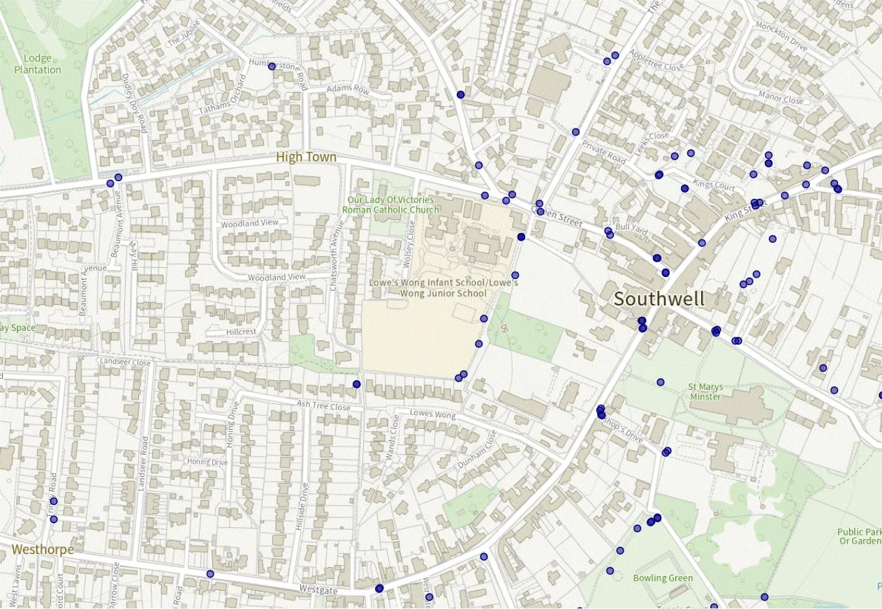
Automating update processes saves time, reduces risk of outdated data, and ensures systems remain reliable. This transformation has unlocked the full value of OS NGD data, delivering improvements in efficiency and service delivery.
The council is also able to use the data to enable key projects – such as creating safer walking routes with additional CCTV in the best locations, and understanding the distance locals have to travel to their nearest doctor or dentist, in order to prioritise services for those who need them most. Public sector organisations can access OS data under the Public Sector Geospatial Agreement (PSGA).
"We’re using OS NGD data all the time – we’re in a good position now."