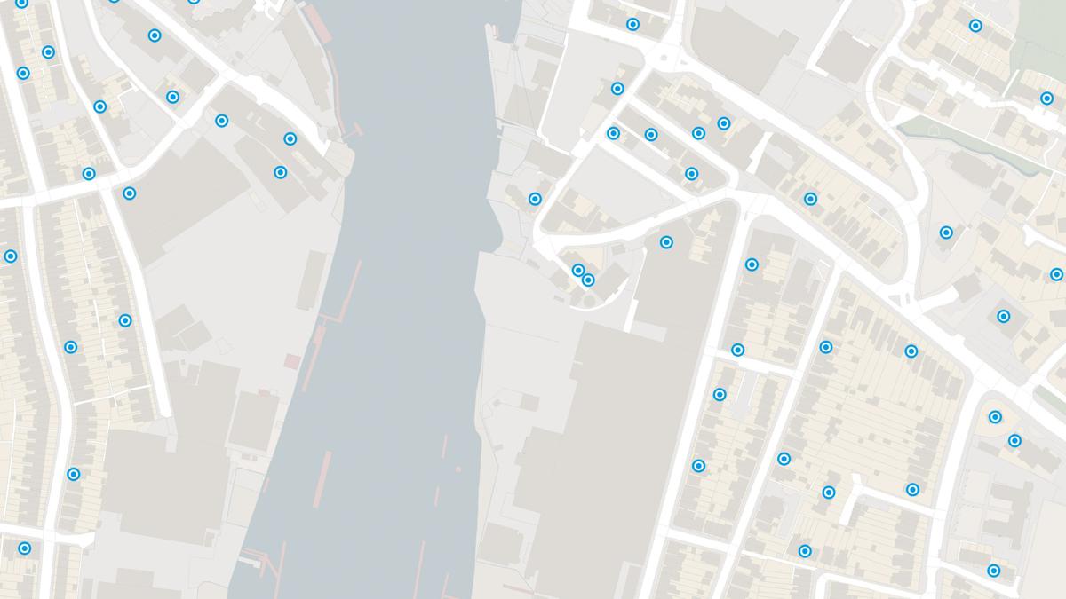
Locate your analysis
Link any dataset that includes postcode data to the postcode location in a GIS and build up a spatial picture of your data.
Link any dataset that includes postcode data to the postcode location in a GIS and build up a spatial picture of your data.
To give you extra analytical power, Code-Point Open includes NHS authority and administrative unit codes.
With Code-Point Open get coverage of the 1.7 million postcodes in Great Britain updated quarterly – accurate depiction of all live postcodes in GB.
Code-Point® is a postcode locator with postcode units in Great Britain and Northern Ireland.
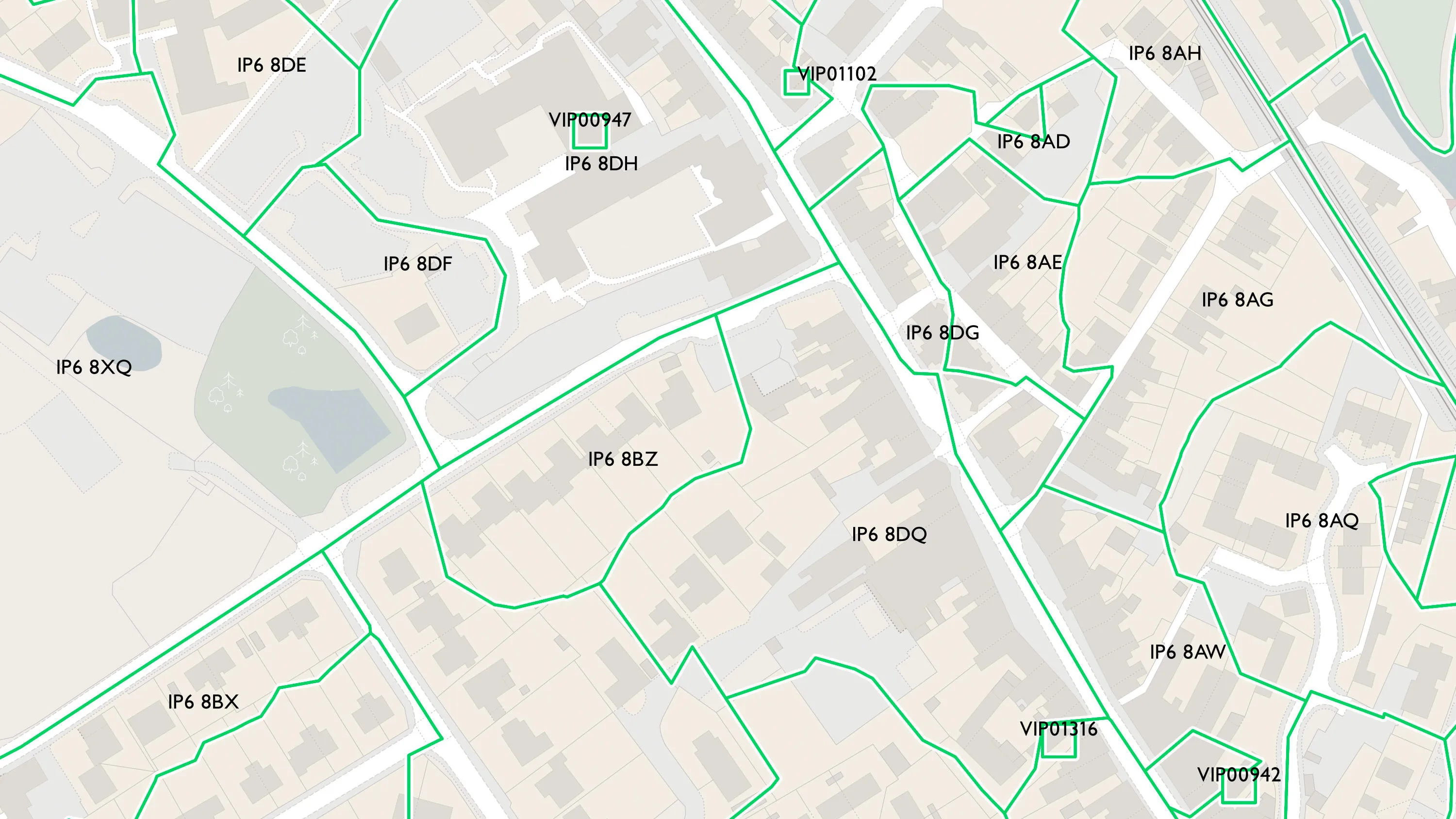
Code-Point with Polygons shows the notional shape of every postcode unit in Great Britain including buildings with multiple postcodes.
A complete address data collection for Great Britain, including UPRNs, property classification, postal status, and construction status.