Overview
- Type of mark
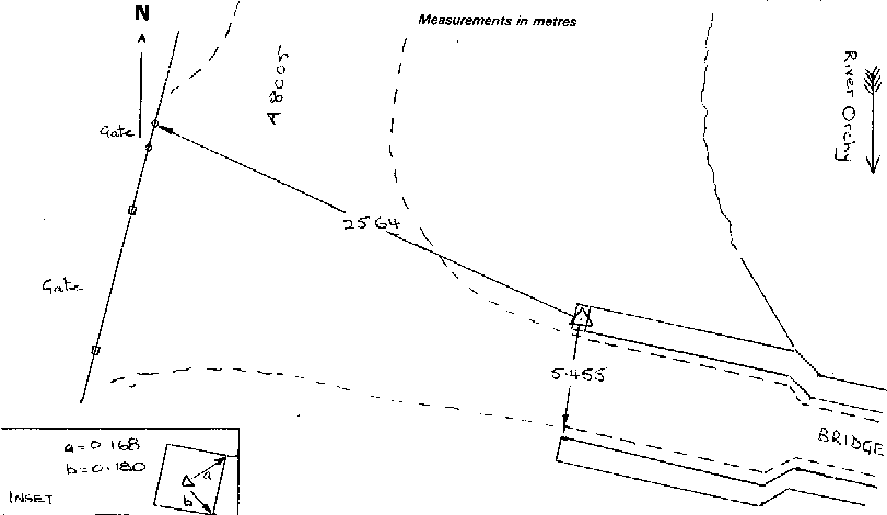
- Rivet
- Flush bracket
- Not Available
- Grid reference
- NN296397
- Access to mark
- 2WD Vehicle
- Keys required
- No
- On Landranger sheet
- 50
Click to buy - On Explorer sheet
- Not Available
- Permission required
- No
Coordinates of this station
ETRS89 Cartesian
- X
- 3514773.8867
- Y
- -293346.5172
- Z
- 5296654.7883
ETRS89 Geodetic
- Latitude
- N 56 ° 31' 4.880576"
- Longitude
- W 4 ° 46' 15.259818"
- Ellipsoid height
- 209.722
National Grid (Transformed by OSTN15/OSGM15)
- Eastings
- 229622.127
- Northings
- 739661.141
- Height
- 155.389
NB: If 'permission required' is Yes at top of this form, the land owner or agent's permission must be obtained before accessing the mark.