Overview
- Type of mark
- Rivet
- Flush bracket
- Not Available
- Grid reference
- NY912073
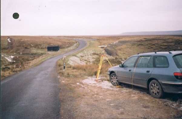
- Access to mark
- 2WD Vehicle
- Keys required
- No
- On Landranger sheet
- 91
Click to buy - On Explorer sheet
- 30
Click to buy - Permission required
- No
Coordinates of this station
ETRS89 Cartesian
- X
- 3713261.5955
- Y
- -138567.5700
- Z
- 5167192.6254
ETRS89 Geodetic
- Latitude
- N 54 ° 27' 41.16078"
- Longitude
- W 2 ° 8' 13.602018"
- Ellipsoid height
- 524.392
National Grid (Transformed by OSTN15/OSGM15)
- Eastings
- 391210.054
- Northings
- 507346.955
- Height
- 472.903
NB: If 'permission required' is Yes at top of this form, the land owner or agent's permission must be obtained before accessing the mark.