Overview
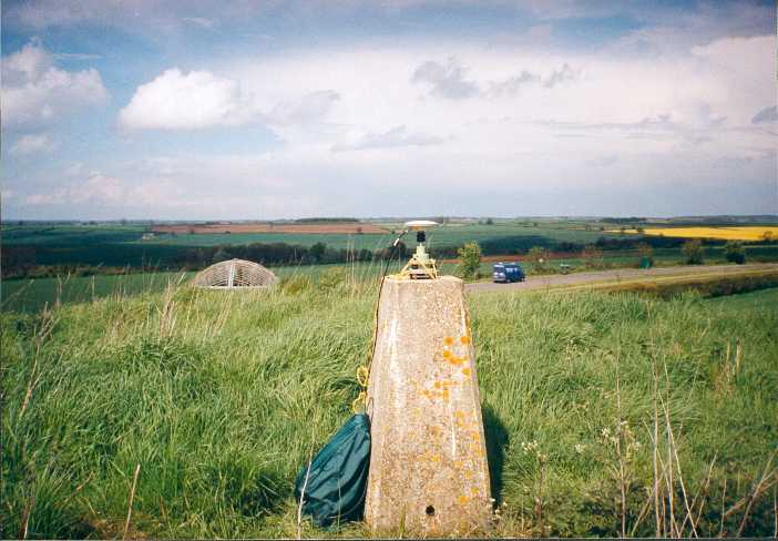
- Type of mark
- Pillar
- Flush bracket
- S2093
- Grid reference
- SK903003
- Access to mark
- foot
- Keys required
- No
- On Landranger sheet
- 141
Click to buy - On Explorer sheet
- 234
Click to buy - Permission required
- No
Coordinates of this station
ETRS89 Cartesian
- X
- 3882534.5765
- Y
- -45276.2530
- Z
- 5043339.5592
ETRS89 Geodetic
- Latitude
- N 52 ° 35' 37.23475"
- Longitude
- W 0 ° 40' 5.252051"
- Ellipsoid height
- 171.154
National Grid (Transformed by OSTN15/OSGM15)
- Eastings
- 490316.225
- Northings
- 300372.785
- Height
- 123.683
NB: If 'permission required' is Yes at top of this form, the land owner or agent's permission must be obtained before accessing the mark.