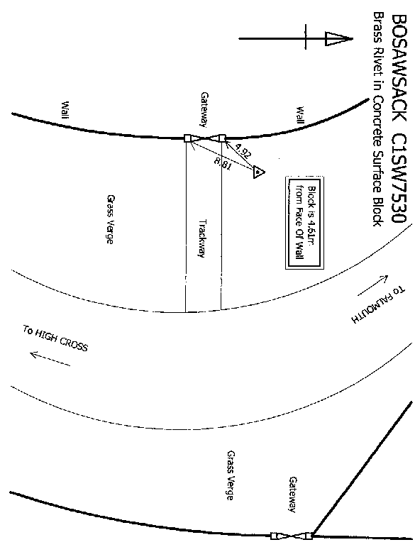
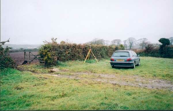
Overview
- Type of mark
- Bolt
- Flush bracket
- Not Available
- Grid reference
- SW757303
- Access to mark
- 2WD Vehicle
- Keys required
- No
- On Landranger sheet
- 204
Click to buy - On Explorer sheet
- 103
Click to buy - Permission required
- No
Coordinates of this station
ETRS89 Cartesian
- X
- 4080307.4509
- Y
- -366975.4217
- Z
- 4872272.9384
ETRS89 Geodetic
- Latitude
- N 50 ° 7' 52.182718"
- Longitude
- W 5 ° 8' 21.303289"
- Ellipsoid height
- 154.992
National Grid (Transformed by OSTN15/OSGM15)
- Eastings
- 175744.761
- Northings
- 30397.674
- Height
- 102.181
NB: If 'permission required' is Yes at top of this form, the land owner or agent's permission must be obtained before accessing the mark.