Overview
- Type of mark
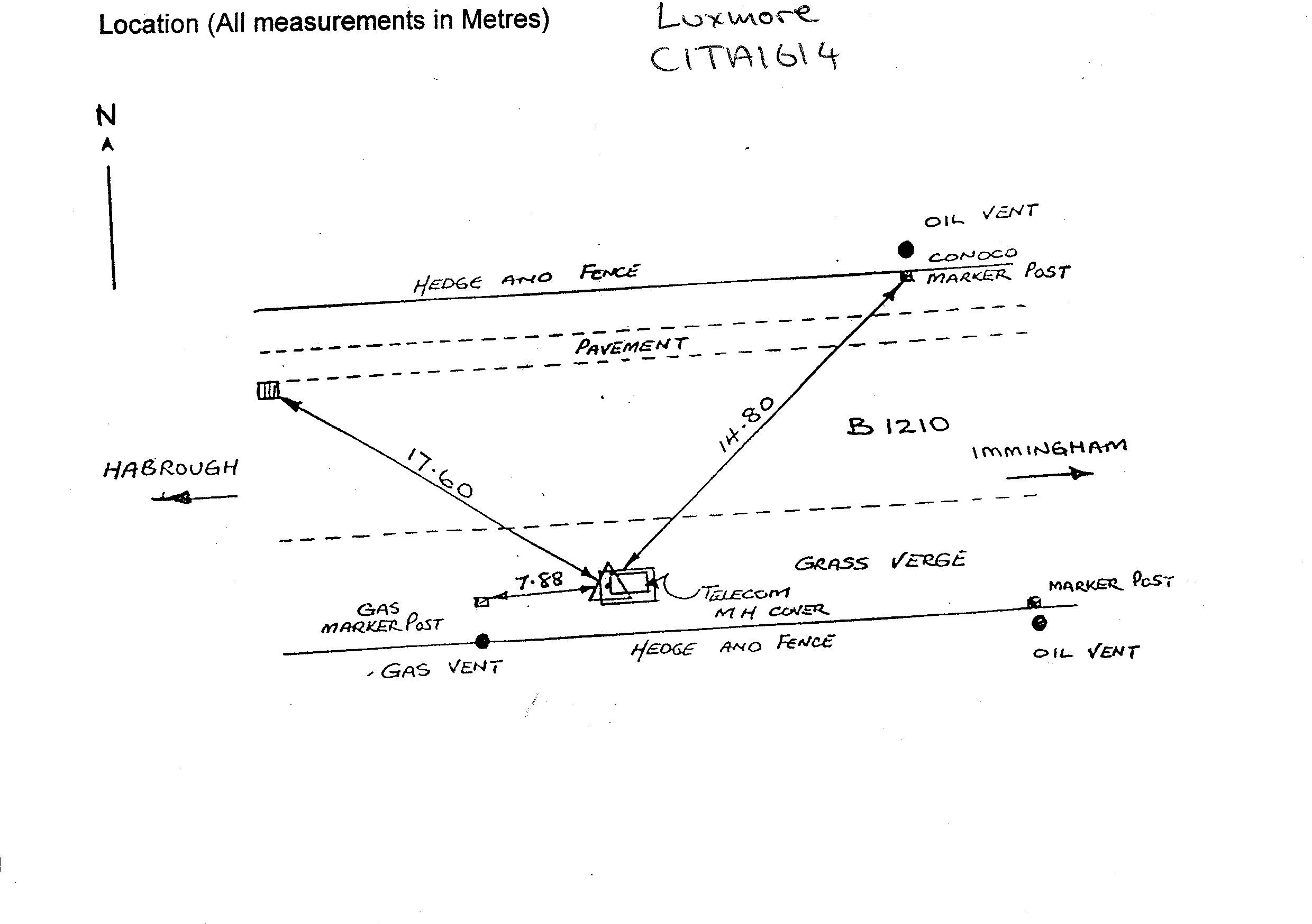
- Surface Block
- Flush bracket
- Not Available
- Grid reference
- TA168142
- Access to mark
- 2WD Vehicle
- Keys required
- No
- On Landranger sheet
- 113
Click to buy - On Explorer sheet
- 284
Click to buy - Permission required
- No
Coordinates of this station
ETRS89 Cartesian
- X
- 3792074.4987
- Y
- -15593.2119
- Z
- 5111276.6037
ETRS89 Geodetic
- Latitude
- N 53 ° 36' 42.808333"
- Longitude
- W 0 ° 14' 8.167066"
- Ellipsoid height
- 51.583
National Grid (Transformed by OSTN15/OSGM15)
- Eastings
- 516824.473
- Northings
- 414259.568
- Height
- 5.729
NB: If 'permission required' is Yes at top of this form, the land owner or agent's permission must be obtained before accessing the mark.