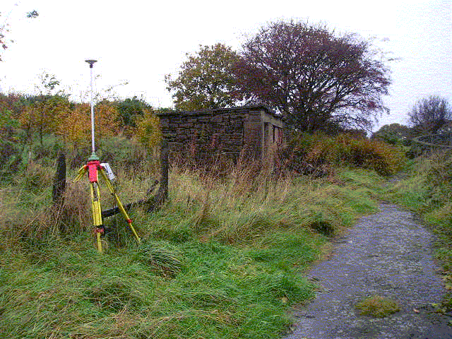
Overview
- Type of mark
- FBM
- Flush bracket
- Not Available
- Grid reference
- SD611257
- Access to mark
- 2WD Vehicle
- Keys required
- No
- On Landranger sheet
- 102
Click to buy - On Explorer sheet
- 287
Click to buy - Permission required
- Yes
Coordinates of this station
ETRS89 Cartesian
- X
- 3778095.8296
- Y
- -170963.9683
- Z
- 5118920.4422
ETRS89 Geodetic
- Latitude
- N 53 ° 43' 33.621906"
- Longitude
- W 2 ° 35' 27.39961"
- Ellipsoid height
- 199.389
National Grid (Transformed by OSTN15/OSGM15)
- Eastings
- 361106.354
- Northings
- 425672.124
- Height
- 147.572
NB: If 'permission required' is Yes at top of this form, the land owner or agent's permission must be obtained before accessing the mark.