Overview
- Type of mark
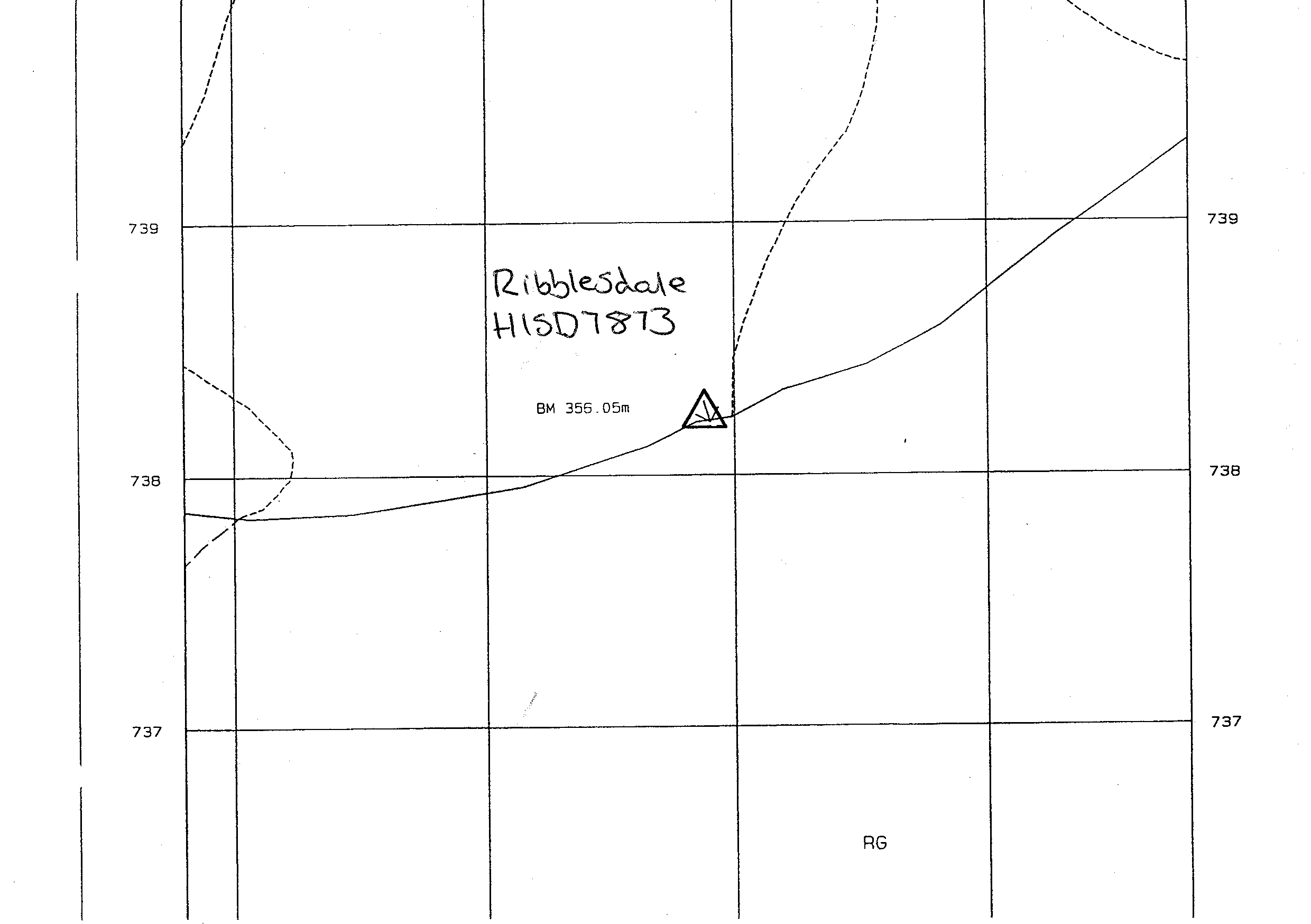
- FBM
- Flush bracket
- Not Available
- Grid reference
- SD782738
- Access to mark
- foot
- Keys required
- No
- On Landranger sheet
- 98
Click to buy - On Explorer sheet
- 2
Click to buy - Permission required
- No
Coordinates of this station
ETRS89 Cartesian
- X
- 3739950.7222
- Y
- -152432.5488
- Z
- 5147504.6608
ETRS89 Geodetic
- Latitude
- N 54 ° 9' 35.028368"
- Longitude
- W 2 ° 20' 2.270391"
- Ellipsoid height
- 407.894
National Grid (Transformed by OSTN15/OSGM15)
- Eastings
- 378290.036
- Northings
- 473819.211
- Height
- 356.053
NB: If 'permission required' is Yes at top of this form, the land owner or agent's permission must be obtained before accessing the mark.