Overview
- Type of mark
- Berntsen
- Flush bracket
- Not Available
- Grid reference
- TA317223
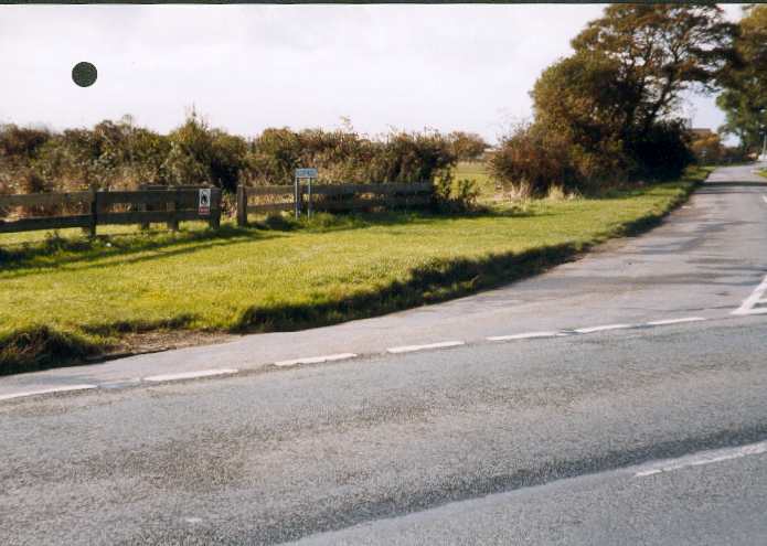
- Access to mark
- 2WD Vehicle
- Keys required
- No
- On Landranger sheet
- 107
Click to buy - On Explorer sheet
- 292
Click to buy - Permission required
- No
Coordinates of this station
ETRS89 Cartesian
- X
- 3785953.4835
- Y
- -429.7455
- Z
- 5115815.3806
ETRS89 Geodetic
- Latitude
- N 53 ° 40' 50.117921"
- Longitude
- W 0 ° 0' 23.413223"
- Ellipsoid height
- 59.650
National Grid (Transformed by OSTN15/OSGM15)
- Eastings
- 531765.125
- Northings
- 422301.256
- Height
- 14.363
NB: If 'permission required' is Yes at top of this form, the land owner or agent's permission must be obtained before accessing the mark.