Using data to explore Great Britain's AONBs and NSAs
These scenic areas cover over 34,000 km2 of Great Britain (larger than the 23,000 km2 covered by our National Parks) and cover a huge variety of mountain, coastal and countryside landscapes. Our GeoDataViz team have been virtually exploring and comparing the landscapes with OS data and created a poster to showcase the AONB and NSAs.
With lockdown restrictions easing, you could use the poster as inspiration for your next GetOutside trip or staycation.

What are AONBs and NSAs?
National Parks and AONBs were born from the same piece of legislation (National Parks and Access to the Countryside Act 1949). AONBs have the same legal protection for their landscapes as National Parks, but don’t have their own authorities for planning control and other services like National Parks do. Instead, they are looked after by partnerships between local communities and local authorities.
An AONB is a designated exceptional landscape whose distinctive character and natural beauty are precious enough to be safeguarded in the national interest. AONBs are protected and enhanced for nature, people, business and culture.
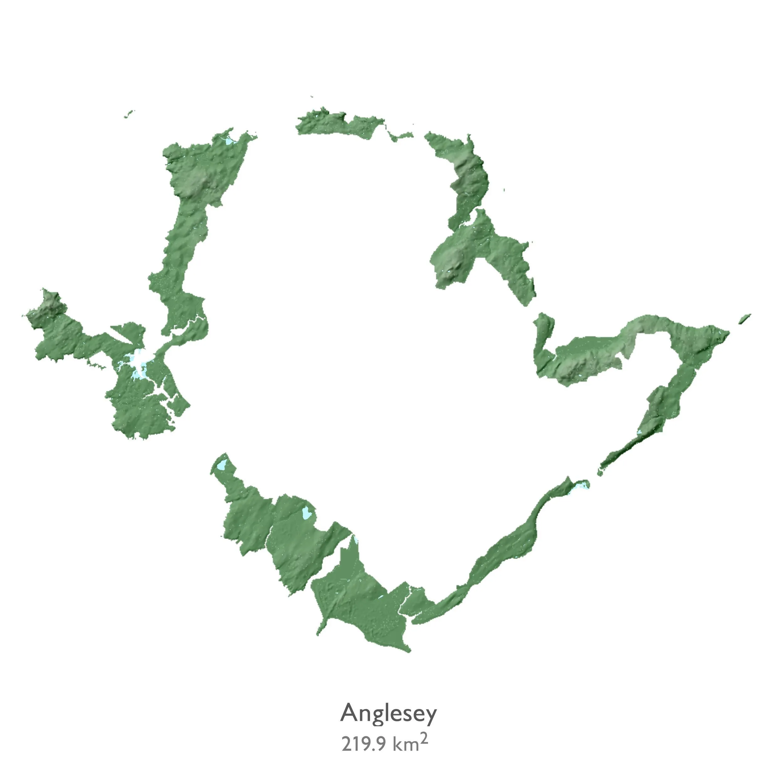
England, Wales and Northern Ireland have 46 Areas of Outstanding Natural Beauty which cover 18% of the countryside and include 12,000 miles of footpaths and bridleways.
Scotland’s NSAs were first established in 1980 under planning legislation. The 40 NSAs are broadly equivalent to AONBs and cover 13% of the land. The legislation defines NSAs as areas “of outstanding scenic value in a national context”, for which special protection measures are required.
Creating data visualisations of AONBs and NSAs
As we map Great Britain, we’ve visualised the 38 AONBs in England and Wales and the 40 NSAs in Scotland. Our Graduate Associate Product Manager Jess Baker got to work with the data to analyse the facts and figures and create the data visualisation.
Jess got started by downloading the AONB and NSA boundaries from sources online – this data is all opensource, so is free for anyone to use. In addition to this data, Jess made sure to include the recent 38 km2 expansion of the Suffolk Coast and Heaths AONB which was confirmed on 7 July.
She then used our freely available OS Terrain 50 dataset to clip the boundaries of the AONBs and NSAs. From here, Jess could start to style the data.
She created a second copy of this clipped terrain data and styled the lower layer as a hillshade, and the overlying layer was styled to give the green to brown effect that we would expect from aerial imagery.
Jess then added in the ‘surface water’ layer from OS Open Zoomstack, showing rivers, lakes and lochs on top of the hillshade data. Because the Scottish NSAs include designated marine areas, she created another layer of sea and clipped that to the NSA boundaries.
Once all this data was ready, Jess used the ‘print composer’ in QGIS to put together the poster. Because a lot of the AONBs and NSAs are close together, she had to create mask layers for every inset on the poster. Jess chose to order the NSAs and AONBs by size of area (using the area data from the boundary shapefiles she originally downloaded). And finally, she then added the names and areas of each NSA and AONB to create the final poster.
Facts and figures
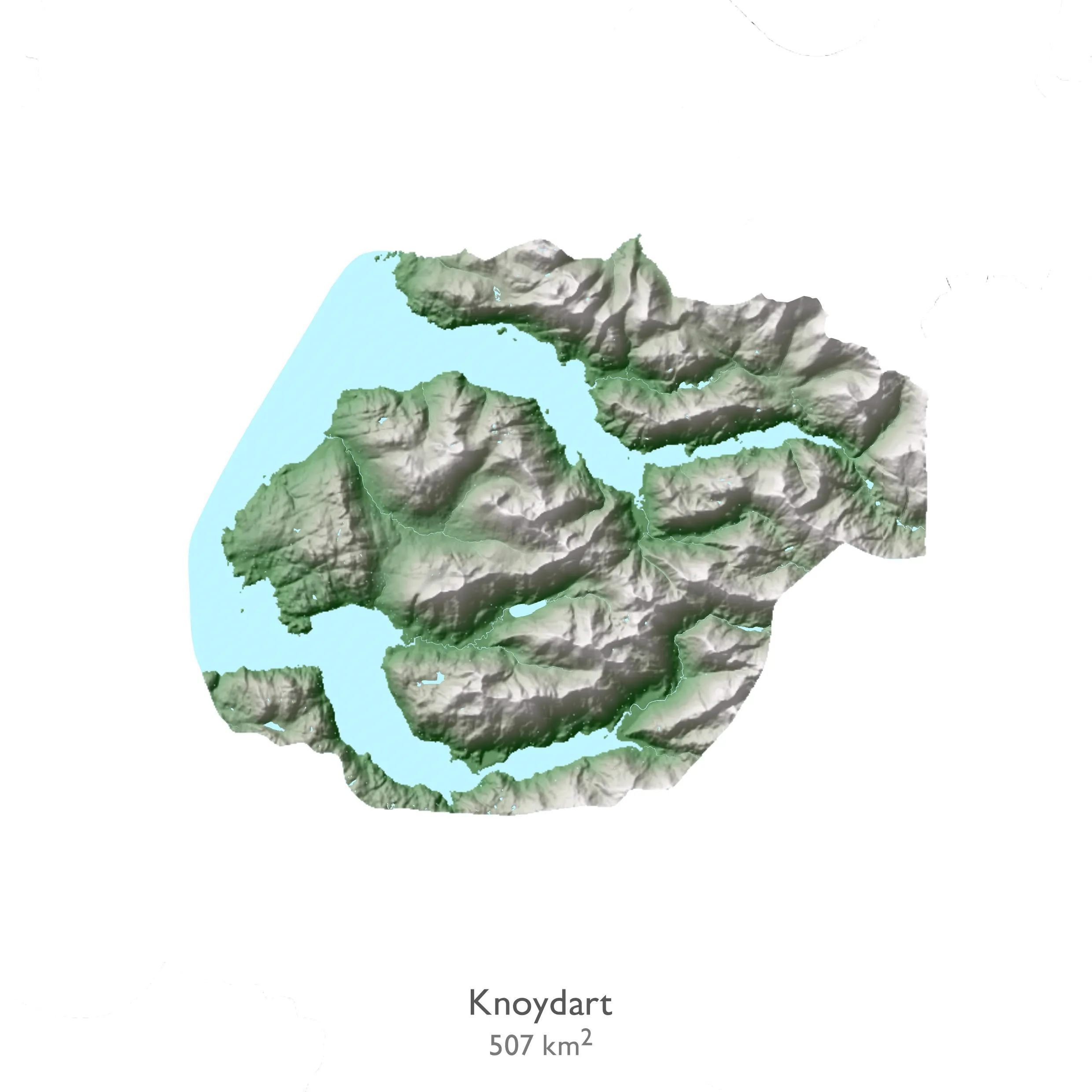
From rugged mountains to dramatic coastlines, both AONBs and NSAs offer something for everyone. The most populated areas are most likely the more known ones, whilst the more remote are likely less frequented. As you can probably imagine, the NSAs include some of the highest points with the majority in the Cairngorms.
Area
England – 33 AONBs – 19,307.35 km2
Scotland – 40 NSAs – 13,811.18 km2
Wales – 5 AONBs – 956.23 km2
GB total – 34,074.76 km2
Largest AONB/NSAs
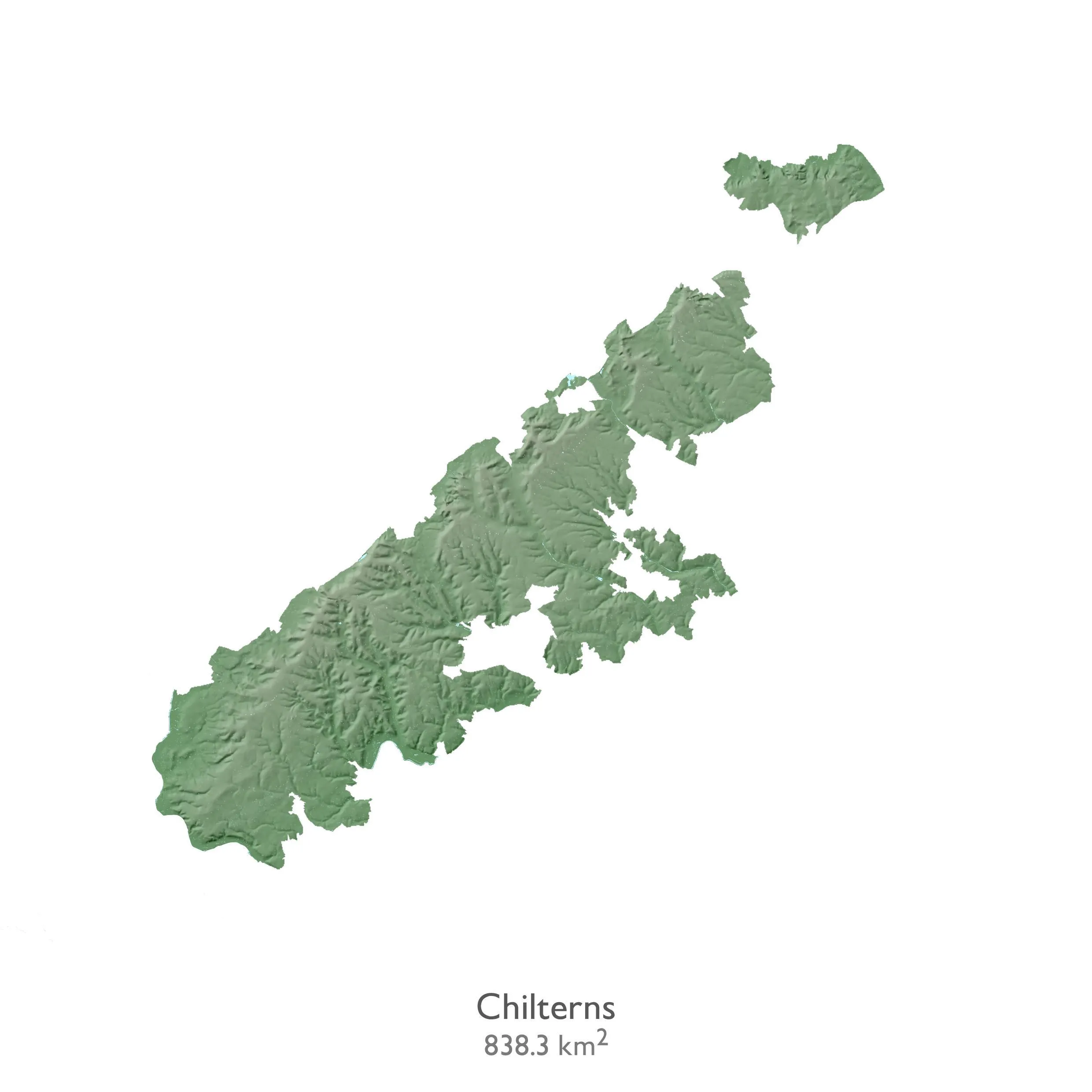
1. Cotswolds – 2041.1 km2 (England)
2. South Lewis, Harris and North Uist – 2021.2 km2 (Scotland)
3. North Pennines – 1985.2 km2 (England)
4. North Wessex Downs – 1731.1 km2 (England)
5. High Weald – 1461.7 km2 (England)
Smallest AONB/NSAs
1. Isles of Scilly – 16.1 km2 (England)
2. River Earn (Comrie to St Fillans) – 31.1 km2 (Scotland)
3. Chichester Harbour – 36.3 km2 (England)
4. Eildon and Leaderfoot – 38.8 km2 (Scotland)
5. Glen Strathfarrar – 40.3 km2 (Scotland)
Highest points in AONBs and NSAs
1. Ben Nevis and Glen Coe – 1345 m above sea level (Ben Nevis Summit, Scotland)
2. Cairngorms – 1309 m above sea level (Ben Macdui mountain, Scotland)
3. Cairngorms – 1296 m (Braeriach mountain, Scotland)
4. Cairngorms – 1265 m (Can na Criche mountain, Scotland)
5. Cairngorms – 1258 m (The Angel’s Peak mountain, Scotland)
Lowest points in AONBs and NSAs
1. South Lewis, Harris, and North Uist – 9 m below sea level (Eileen Lingreabhaigh – small island off Harris, Scotland)
2. South Uist Machair – 4 m (Rubh’ Aird-mhicheil, Scotland)
3. Dornoch Firth – 4 m (near Dun Creich fort, Scotland)
4. Cornwall – 3 m – (coastal inlet ‘Pigeon Ogo’ near Lizard Point, England)
5. Llŷn – 3 m (Trwyn y Penrhyn near Aberdaron, Wales)
Most populated AONB/NSAs (including both residential and commercial addresses)
1. Cotswolds – 71,847 addresses (England)
2. High Weald – 55,590 addresses (England)
3. North Wessex Downs – 46,903 addresses (England)
4. Dorset – 41,667 addresses (England)
5. Kent Downs – 33,282 addresses (England)
Least populated AONB/NSAs (including both residential and commercial addresses)
1. St Kilda – 0 addresses (Scotland)
2. Scarba, Lunga and the Garvellachs – 1 address (Scotland)
3. Glen Affric – 2 addresses (Scotland)
4. Glen Strathfarrar – 3 addresses (Scotland)
5. The Trossachs – 21 addresses (Scotland)
More information
If you’d like to see the individual images of each AONB and NSA or inspect the poster further, take a look at our Flickr page.
For a full list of the AONB go to their website: https://landscapesforlife.org.uk/about-aonbs/aonbs/overview
To learn more and explore an interactive map of the NSAs, visit: https://www.nature.scot/professional-advice/protected-areas-and-species/protected-areas/national-designations/national-scenic-areas/enjoy-national-scenic-areas
GetOutside
Get ideas on new areas to explore on our OS Leisure GetOutside website.

Our highly accurate geospatial data and printed maps help individuals, governments and companies to understand the world, both in Britain and overseas.