Blog
Read location data and geography related stories and commentary
Filters (1)
Page 1
How the British Army use OS NGD API - Features for battlefield training
High fidelity mapping from the OS National Geospatial Database creates immersive battlefield simulations, which are key to army training.
- Blog
Reimagining the nation’s capital
Following the episode of Channel 4’s Britain’s Most Historic Towns, John Murray replicated our technique to reimagine Chester as the capital.
- Blog
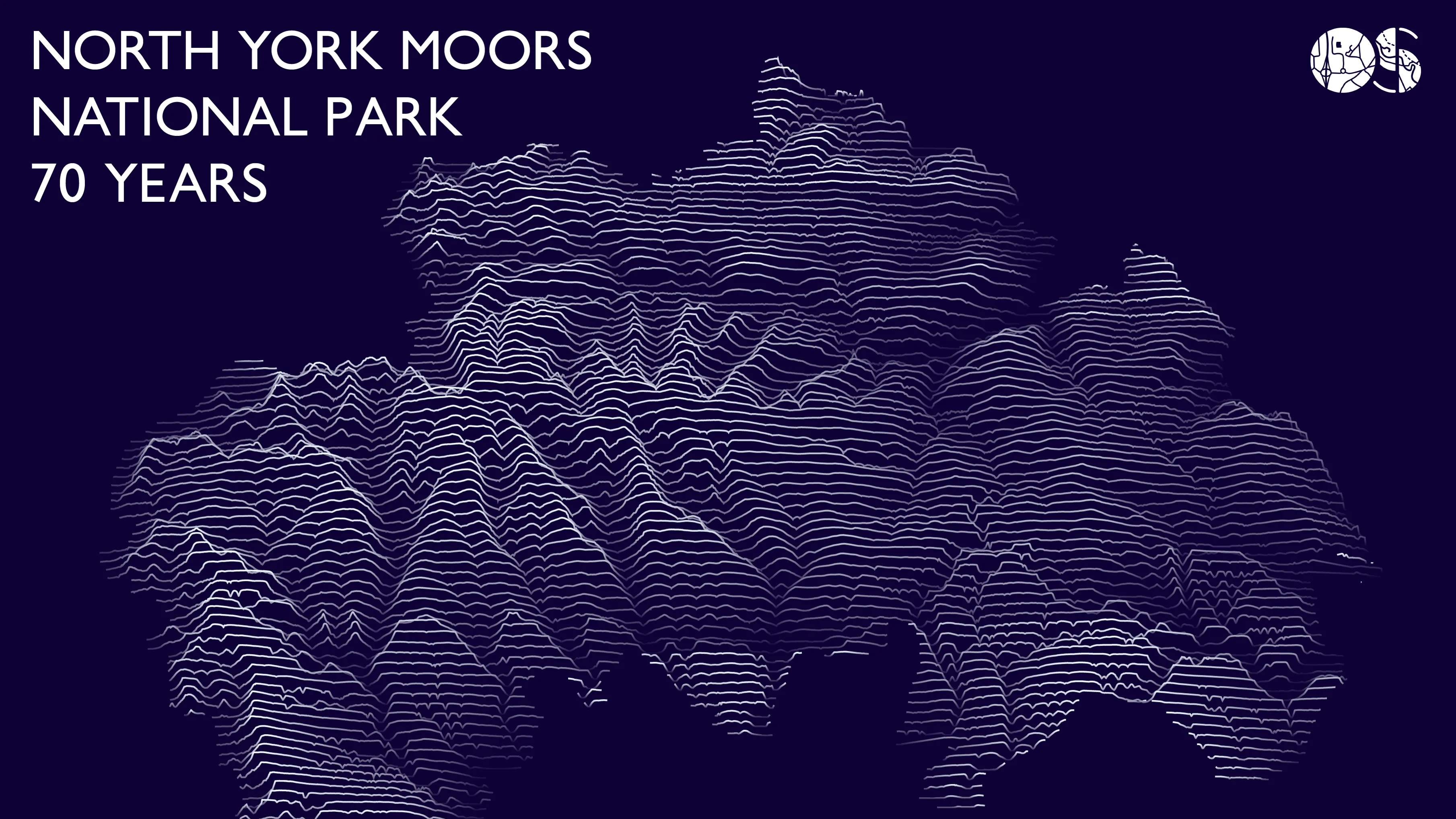
Celebrating 70 Years of the North York Moors National Park
OS tech consultant Hannah Wright explains creating a 'Joy Division' inspired data visualisation of North York Moors National Park.
- Blog
100 years of Ordnance Datum Newlyn
How a small hut in Cornwall established Ordnance Datum Newlyn (ODN) 100 years ago.
- Blog
The Monarchy’s legacy on place names in Great Britain
A look into the monarchy's legacy on the names of roads, places and pubs in Great Britain.
- Blog
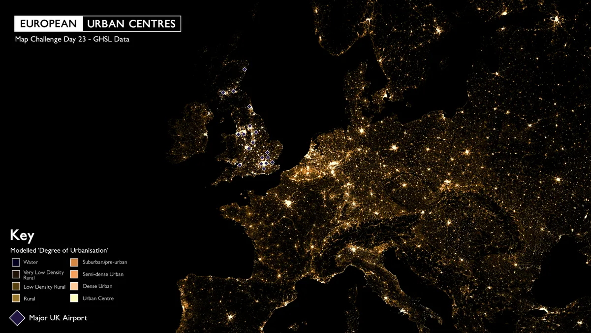
How connecting land with sea data helped map Pembrokeshire’s sunken shipwrecks
Combining OS and UK Hydrographic Office data led to the creation of a fascinating map of Pembrokeshire and its famous shipwrecks.
- Blog
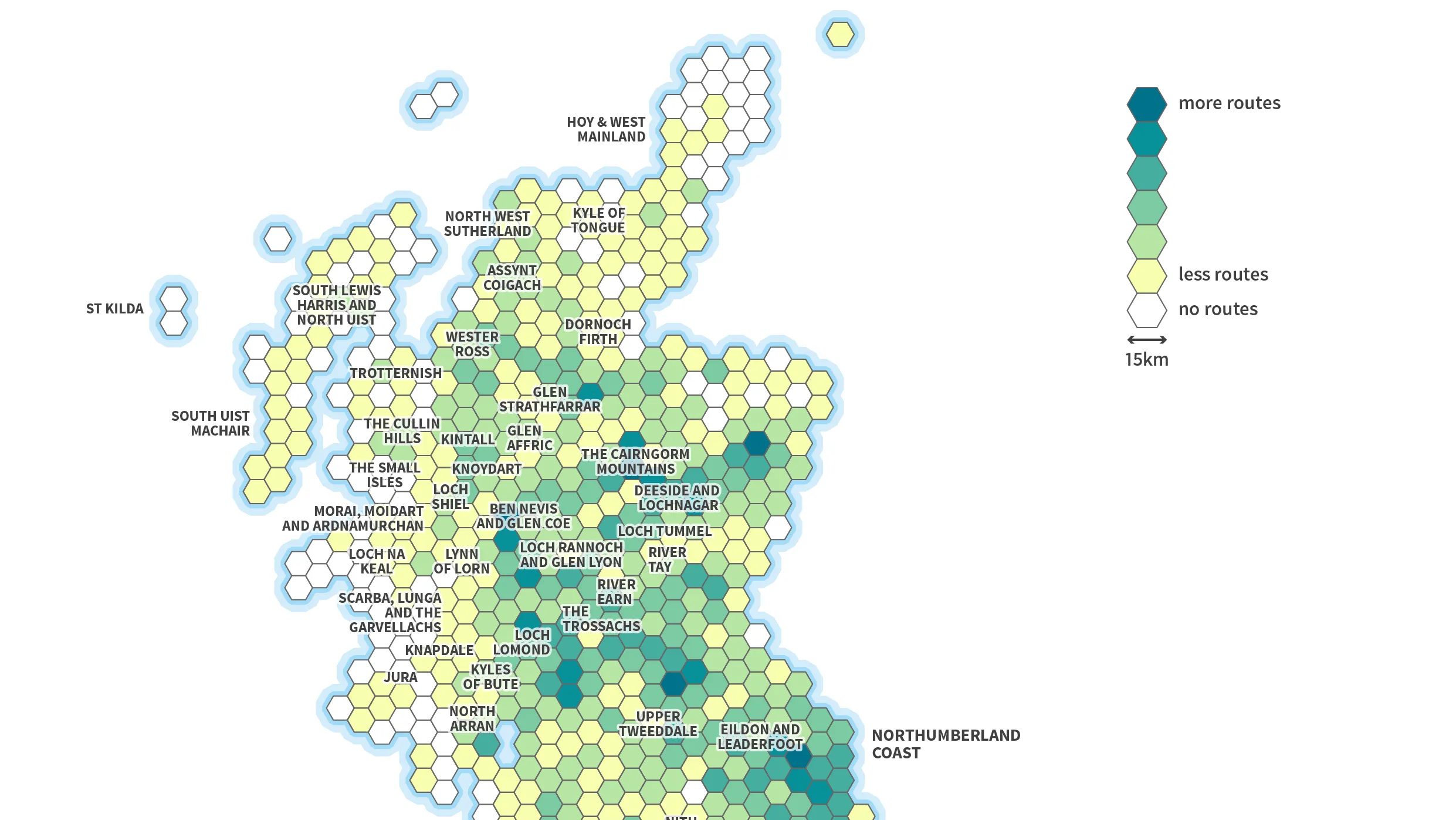
Britain’s top walking spots since lockdown eased
We’ve analysed our OS Maps app data to identify Britain's top walking spots since lockdown eased. Take a look at our data visualisations.
- Blog
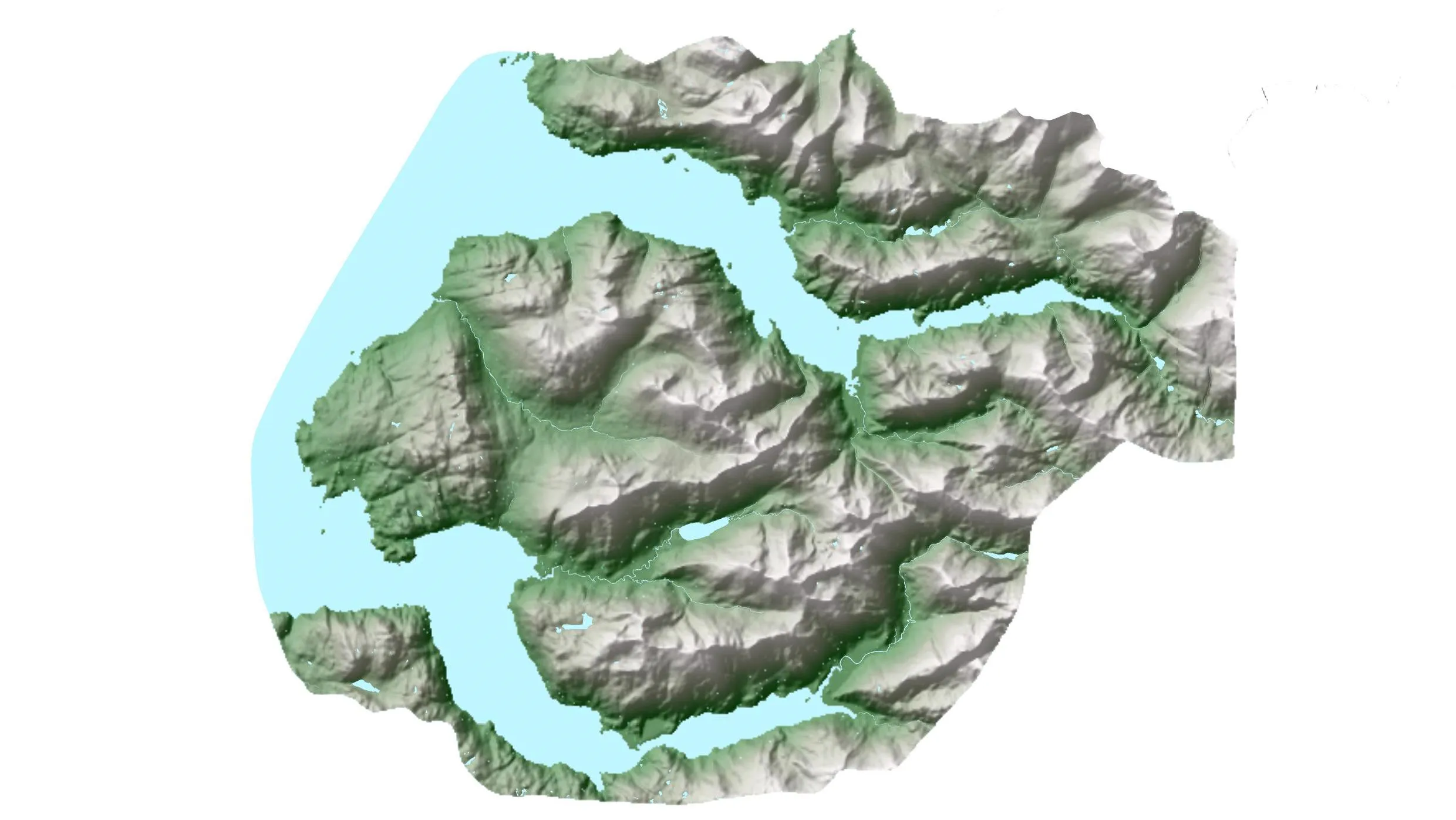
Using data to explore Great Britain's AONBs and NSAs
Our GeoDataViz team have been virtually exploring landscapes with OS data and have created a poster to showcase the AONB and NSAs.
- Blog