
Newark and Sherwood District Council has used OS data to enable confident decision-making for public benefit.
Case studies
Discover how Ordnance Survey data is driving more efficient decisions in organisations like yours
Found 52 results
Page 1
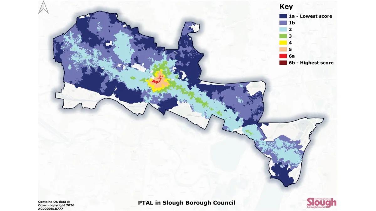
Improving accessibility to public transport with Slough Borough Council
Slough Borough Council has used OS data to map public transport accessibility. Gaining a clearer picture means the council are now able to more effectively target interventions – to improve accessibility, and make public transport more inclusive throughout Slough.
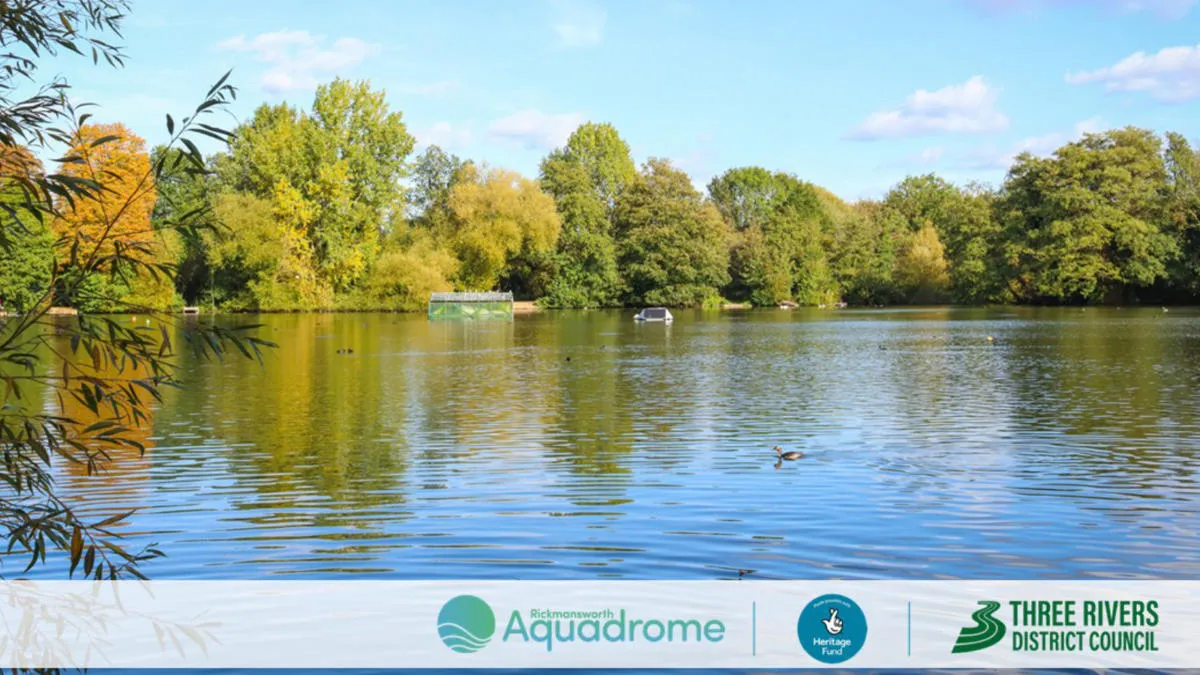
Sustainability, resilience, and nature recovery with Three Rivers District Council
Three Rivers District Council is on a mission to protect and enhance the local nature reserve – Rickmansworth Aquadrome. The nature reserve includes two large lakes, woodland, and open grassland, and is home to a wide range of wildlife.
The council’s priorities for the project...
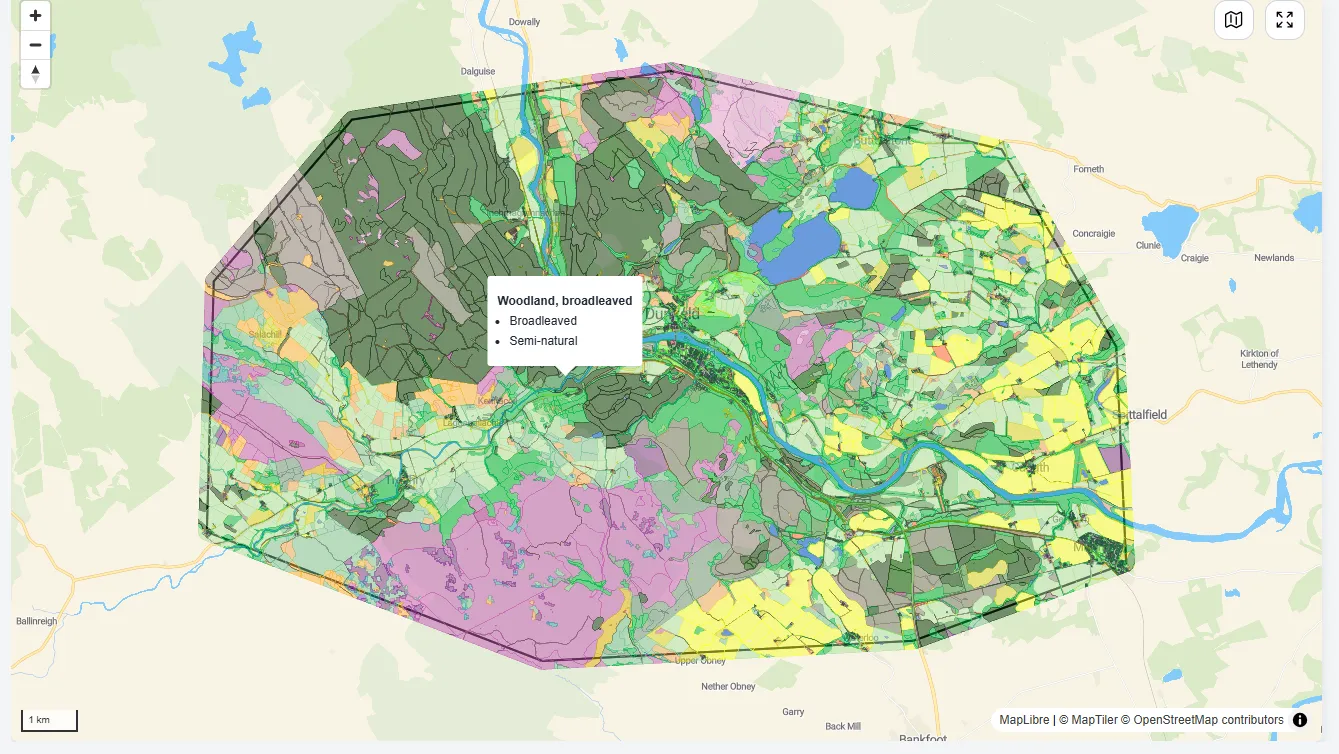
Putting nature at the heart of decision-making
NatureScot is Scotland’s nature agency, working to improve the natural environment (such as biodiversity, geodiversity, and the natural elements of land and seascapes). NatureScot has used OS MasterMap data to create a Natural Capital Tool, enabling people to put nature at the heart of deci...
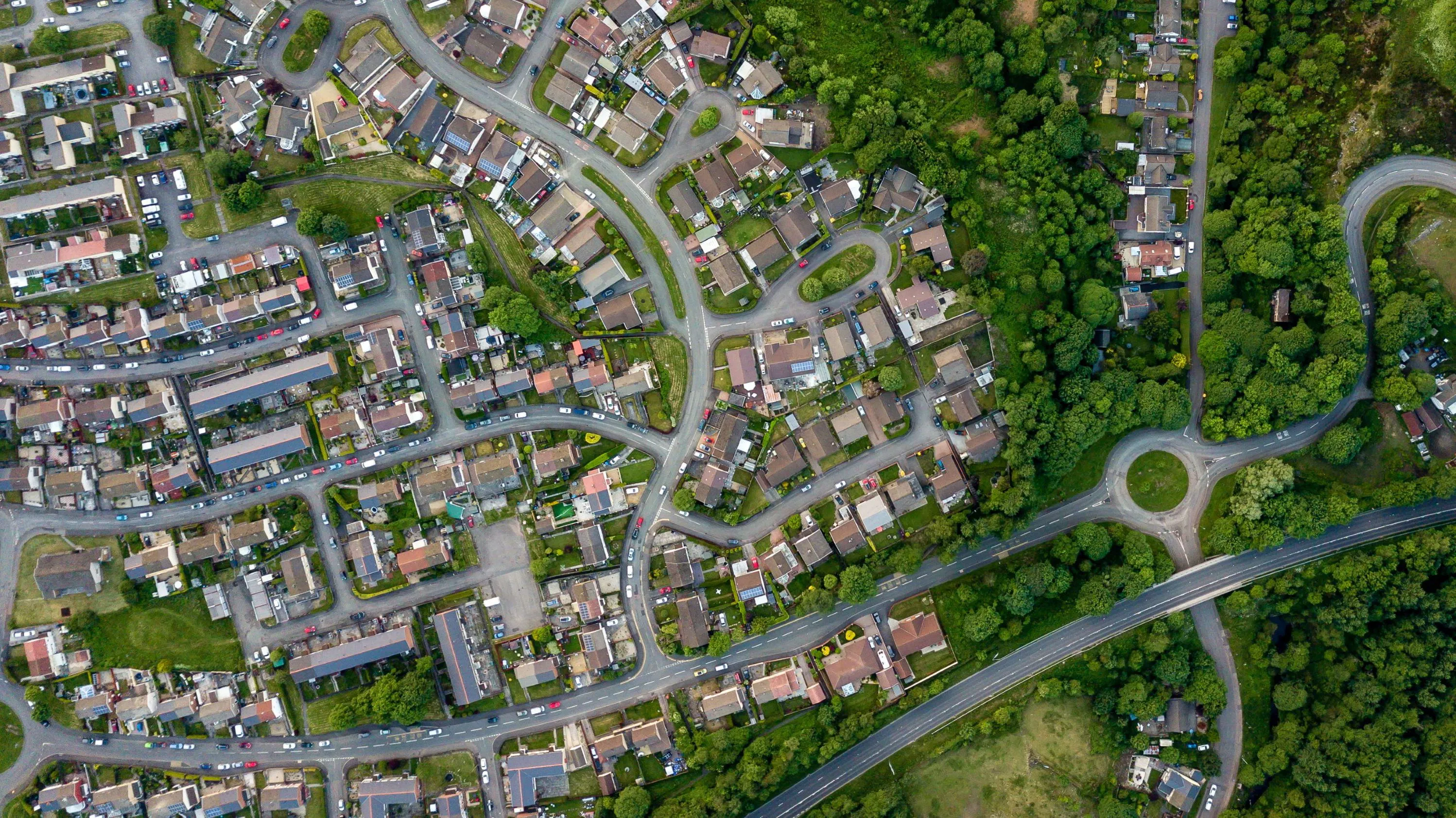
Enabling cleaner, greener communities with robust litter data
Keep Wales Tidy is a charity that has been developing a brand-new litter data methodology, taking pride in improving public spaces across Wales and protecting the environment now and for the future.
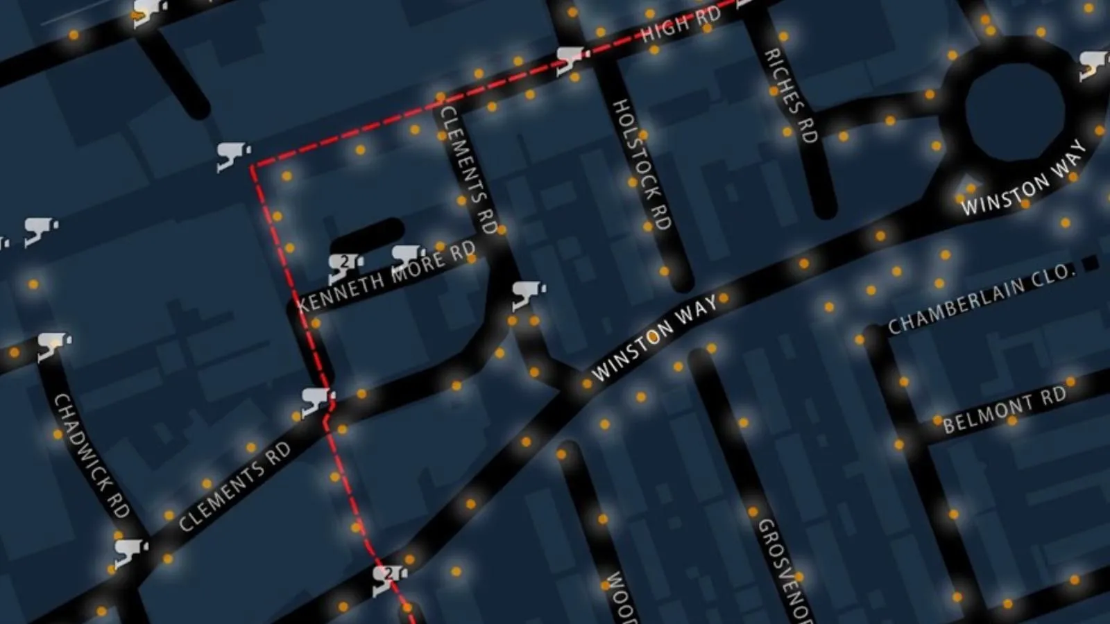
Safer routes for winter commutes
The Women’s Network at Redbridge London Borough Council wanted mapping highlighting the safest routes for them to take during winter darkness.

More efficient land management with OS NGD data
Torfaen County Borough Council is using OS NGD data to maintain the areas of land it covers.

Community councils meeting legal requirements even with limited geospatial skills
Thornhill and Blair Drummond are two communities located within the Stirling council area in Scotland. They are served by the Thornhill and Blairdrummond Community Council, a voluntary organisation set up by the local authority, and run by local resident volunteers.
The Council has used Pa...
Parish councils using detailed mapping to alleviate traffic and parking issues
Bolton-le-Sands is a large village and civil parish of the City of Lancaster in Lancashire, England. Bolton-le-Sands Parish Council turned to Parish Online, a Geoxphere solution supported by OS data, for traffic and parking planning.
You have viewed 9 of 52 case studies