
Newark and Sherwood District Council has used OS data to enable confident decision-making for public benefit.
Case studies
Discover how Ordnance Survey data is driving more efficient decisions in organisations like yours
Found 53 results
Page 1
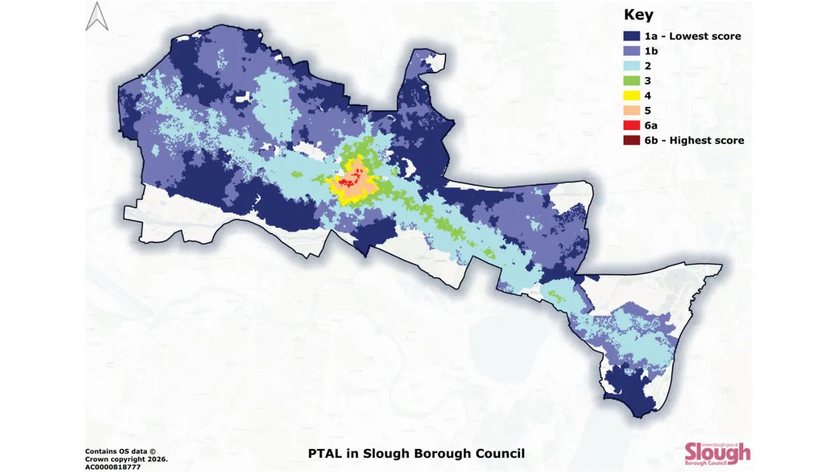
Improving accessibility to public transport with Slough Borough Council
Slough Borough Council has used OS data to map public transport accessibility. Gaining a clearer picture means the council are now able to more effectively target interventions – to improve accessibility, and make public transport more inclusive throughout Slough.

Lancashire County Council improves road safety planning with OS NGD Transport data
Lancashire County Council (LCC) is the local authority for the county of Lancashire, in England. The county council serves everyone living and working in Lancashire, providing key services and support for the region.
Enabling cleaner, greener communities with robust litter data
Keep Wales Tidy is a charity that has been developing a brand-new litter data methodology, taking pride in improving public spaces across Wales and protecting the environment now and for the future.
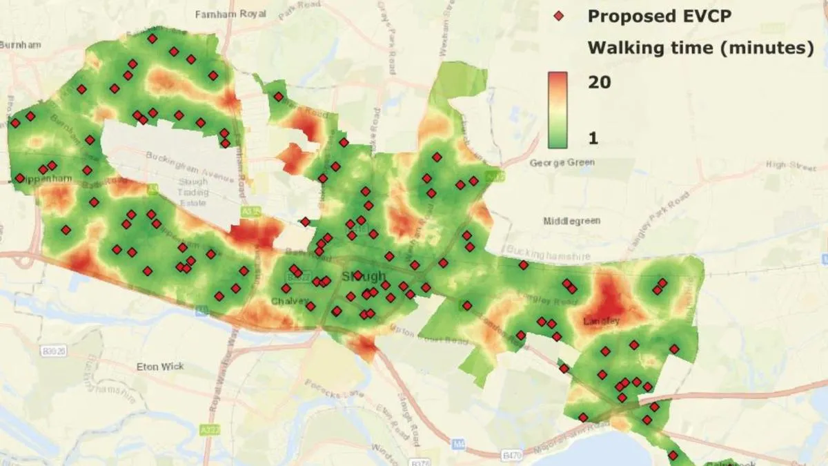
Modelling electric vehicle charging for a more sustainable Slough Borough Council
Slough Borough Council is on a mission to increase coverage of electric vehicle (EV) charging locations.

Improving prescription accessibility
NHS England recognises that collecting prescriptions from pharmacies can be a challenge for some patients.
Mapping at the Met Police
The Metropolitan Police is the UK’s largest police force. It polices 620 square miles and serves more than eight million people across one of the world’s most dynamic and diverse cities.
Part of its mission is to seize the opportunities of data and digital technology. To help a...
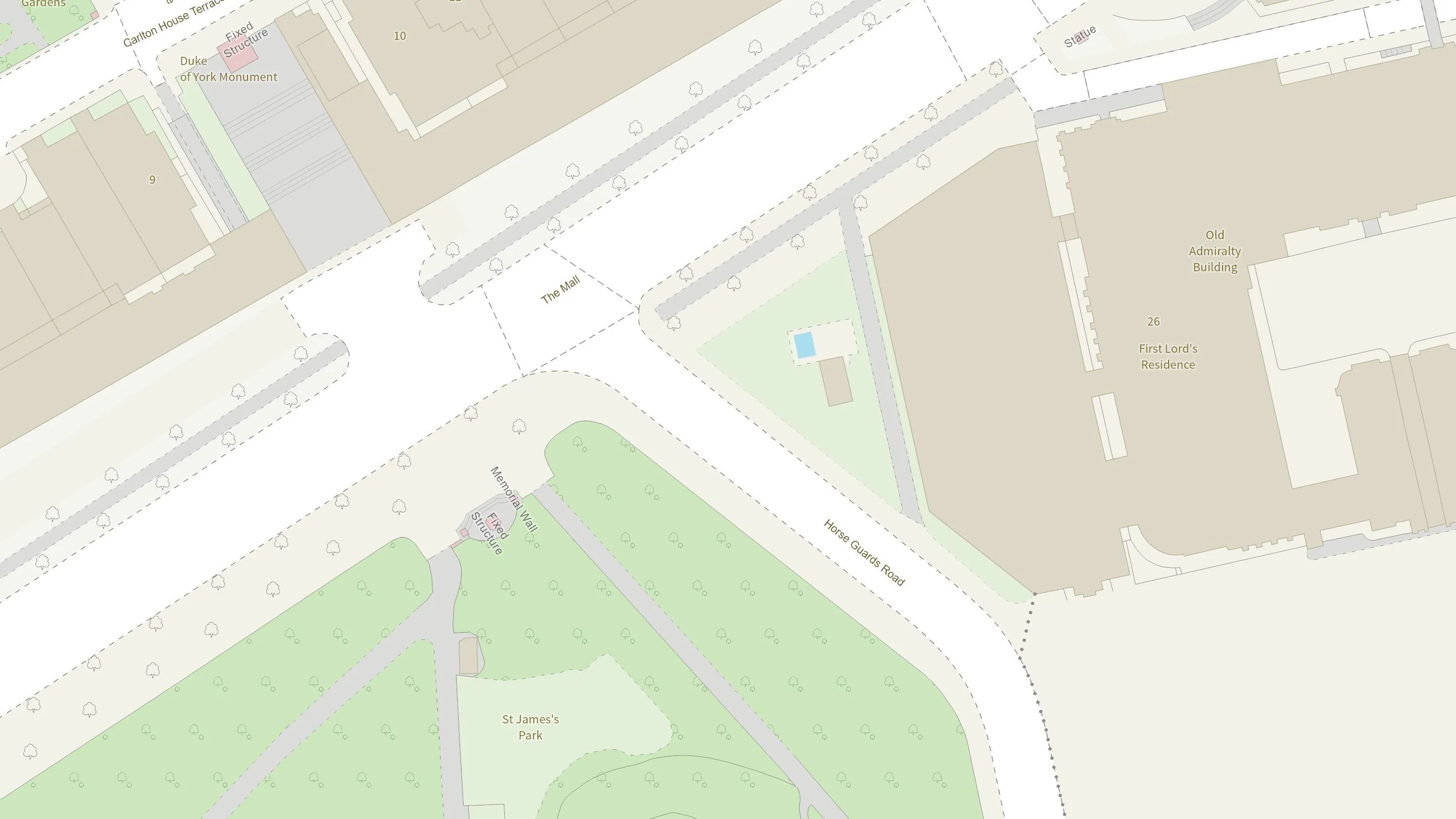
How the British Army use mapping APIs for battlefield training
The British Army is using Ordnance Survey mapping data to create training scenarios, and provide soldiers with accurate and realistic experiences.
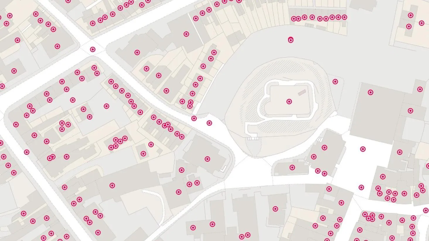
Proactive customer service with quality addressing data
Ordnance Survey helped to enable a master source of address information to be collated into a central hub that Scottish Water, their partners, and agencies, can use to seamlessly manage the lifecycle of an address.
You have viewed 9 of 53 case studies