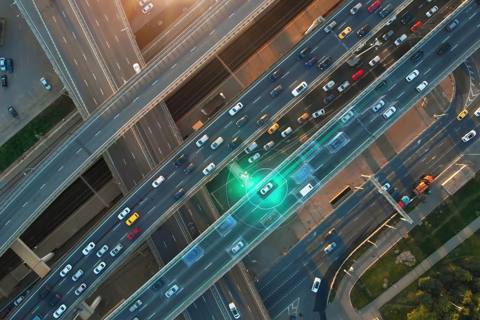
Achieving autonomous transport that delivers better quality of life for citizens
The way we move is changing, with an increasing shift towards connected and autonomous vehicles (CAVs), electric vehicles, and micro-mobility.
CAVs alone are predicted to achieve a global market capitalisation of $1 trillion by 2035. This will be a sea change in transport, the likes of which hasn’t been seen since the first half of the twentieth century.
The challenge faced by urban planners, then, is to rethink our urban spaces to enable this new mobility revolution. It isn’t enough to place twenty-first century technology on twentieth century infrastructure anymore. For citizens to truly reap its benefits, the appropriate physical and digital infrastructure is required.

Dubai’s Autonomous Transportation Strategy is a notable example of the acceleration towards the autonomous mobility future. It seeks to ensure 25% of all transportation trips in Dubai will be smart and driverless by 2030. In addition to increased safety within Dubai’s transport networks, the strategy will help cut transportation costs by 44% (annual savings of up to AED 900 million), reduce environmental pollution by 12%, generate AED 18 billion annually in efficiency savings, and save citizens an estimated 396 million hours on transportation trips every year. It’s clear that the shift to autonomous mobility, represents not only a significant economic and productivity gain, but will also play a key role in boosting quality of life for Dubai citizens.
Read more about how to build happier, healthier cities in our report, See Your City Smile.
A question not of ‘why’, but of ‘how’
CAVs do not operate in isolation. They exist in a world of continually shifting, often unpredictable hazards, such as pedestrians, temporary roadworks and the like, as well as eventually in a world filled with their own kind. This means that for any CAV to operate and successfully navigate requires that it knows exactly where it is, and where all objects within its operating environment are. Given the perpetual movement of its environment relative to it, especially in dense urban settings, this data must also be in real time.
For CAVs to be successful there must be a common digital language between road users, suppliers, and regulators to facilitate the fastest communication between them and ensure that there are no misunderstandings, the results of which could be fatal.
This necessitates an adjustment in mindset for authorities, from one where traffic management informs humans of the road ahead, to a unified system in which CAVs from different manufacturers, route planning apps, roadside infrastructure, and more, ‘speak’ to each other, and are continually sharing and collaborating their data independent of human interaction.
Precise, comprehensive and up-to-date geospatial data is crucial to achieving this real-time ‘dialogue’. Geospatial data can be used to combine disparate data sets through their shared location component, meaning all parties are operating with the same, shared and updated information.
Interoperability in action
We are already seeing governments making strides towards the requisite level of interoperability in location data for CAVs with the likes of the UK Government’s Department for Transport (DfT). It has worked with OS and the Transport Network-Intelligent Transport Systems project (TN-ITSGO) to develop a European TN-ITS standard for map updates and change intelligence that can be used across digital infrastructure by map makers and service providers alike.
The work has made it possible to increase the use of valuable information on traffic networks, standardising it, and through it creating a draft data model that will enable future Traffic Regulation Orders - for example, speed limits, street parking restrictions, and banned turns - to be created spatially in a standard format that will enable further TRO data to be used in TN-ITS. This is a crucial step in accelerating the successful operation and uptake of CAVs on the widest possible scale.
Build a smart, citizen-centred city
Learn more about the role of geospatial data in underpinning smart mobility and driverless vehicles that work for your citizens.

Head of International Sales, Ordnance Survey