Insights
Explore expert geospatial insight and thought leadership
Filters (1)
- Page 1
- Insight
- Insight
- Insight
- Insight
- Insight
- Insight
- Insight
- Insight
- Insight
Mapping mpox: Location data and pandemics in the wake of COVID-19
Location data has offered real time tracking of the mpox virus to provide one of the most comprehensive pictures of the spread of a virus anywhere, ever.
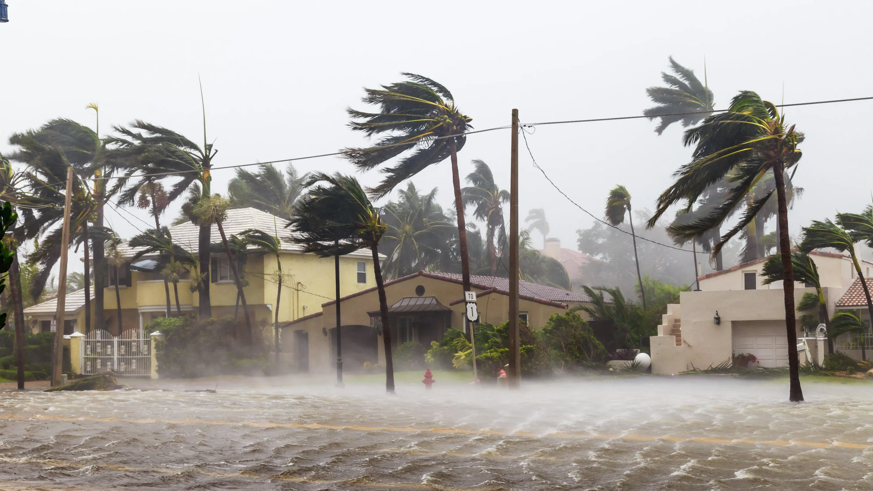
Building resilience to respond to extreme weather events
Resilience to major weather events is a global challenge. Geospatial data can be used as a vital source of intelligence in preparing for and responding to extreme weather.
2023 Predictions - How location data can accelerate the transition to a sustainable transport system
OS data and expertise is helping build a smart transport network and foundation for the future of connected autonomous vehicles.
Unlocking the full value of our infrastructure
The UK is undergoing the process of major updates to infrastructure, from a national electric vehicle charging network and High-Speed Rail, to a nationwide 5G mobile network.
How geospatial investment helps grow your city’s economy
Learn how geospatial readiness drives economic development. Build a base map for land admin, environment monitoring, smart city development.
Achieving autonomous transport that delivers better quality of life for citizens
Precise, comprehensive and up-to-date geospatial data is crucial to achieving autonomous transport goals safely and successfully.
How geospatial data can drive effective policy, taxation, and economic growth
See how effective land registration and addressing systems can assist governments and citizens in better understanding land tenure and ownership.
Beating urban poverty with geospatial data
Ordnance Survey can help build your city’s geospatial data capabilities, assisting with issues such as urban poverty and informal settlements.
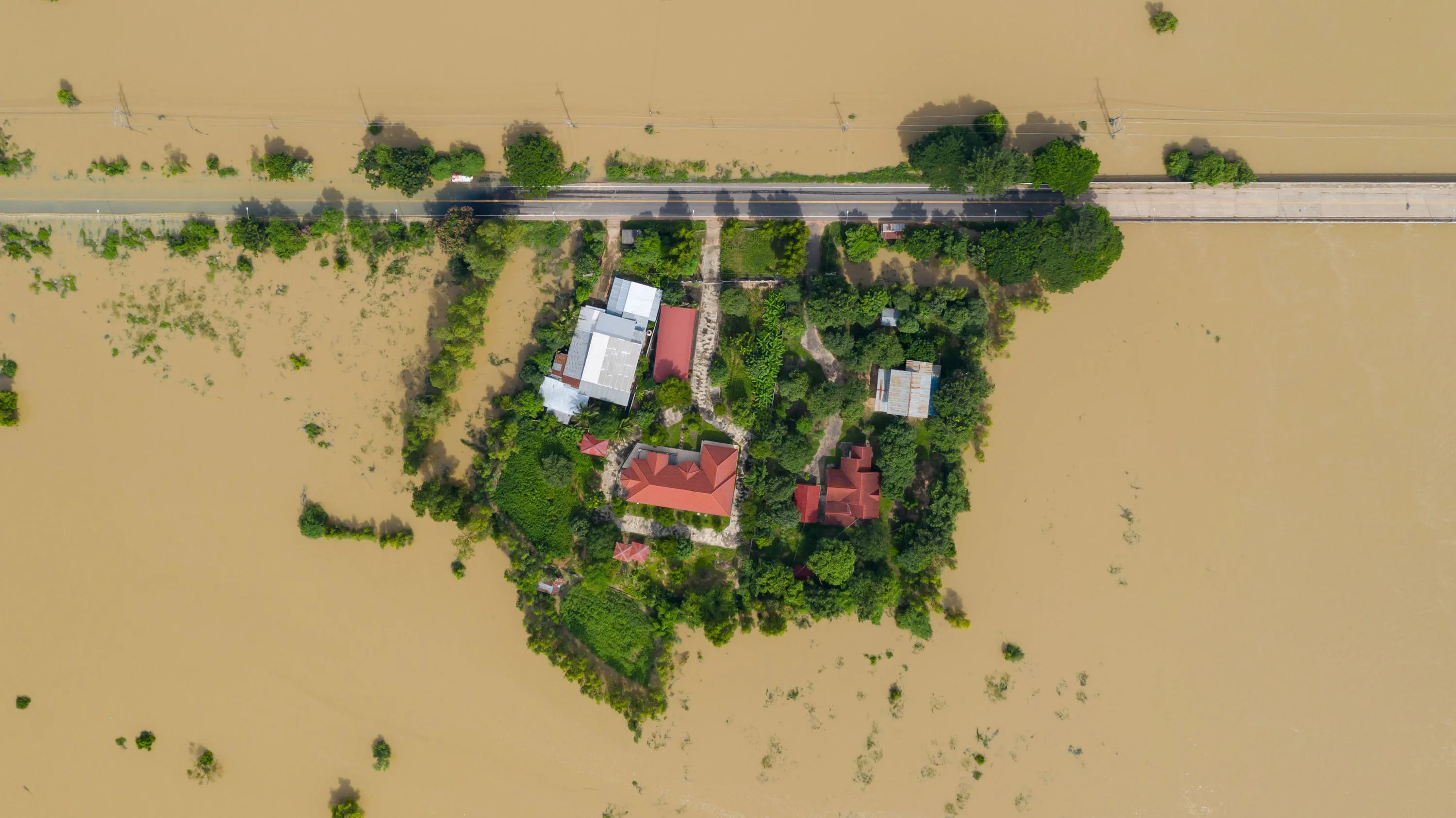
How geospatial insights can build resilient societies and prevent crises
Geospatial data helps predict and prevent crises - both caused by natural disasters and human conflict. It's vital we build resilient societies.


