Challenge
In order to develop and publish a feed of TN-ITS data, the DfT, with support from Ordnance Survey and GeoPlace needed to identify sources of trusted and consistent change data.
To effectively manage, maintain and identify changes it was necessary to have a definitive base dataset in a standard format for the UK.
In addition to OS’s Highways Network data, an important source of features and their legal position can be obtained from Traffic Regulation Orders (TROs) such as speed limits, street parking restrictions, one-way streets and banned turns. However, much of this information is not available nationwide as spatial data.
Solution
OS used its knowledge of creating flows of data and publishing change intelligence, to validate the role of road data from Traffic Regulation Orders as an input. This was carried out through a TRO Discovery project, with GeoPlace looking at the needs of service providers in the market, for example local highways authorities and system suppliers.
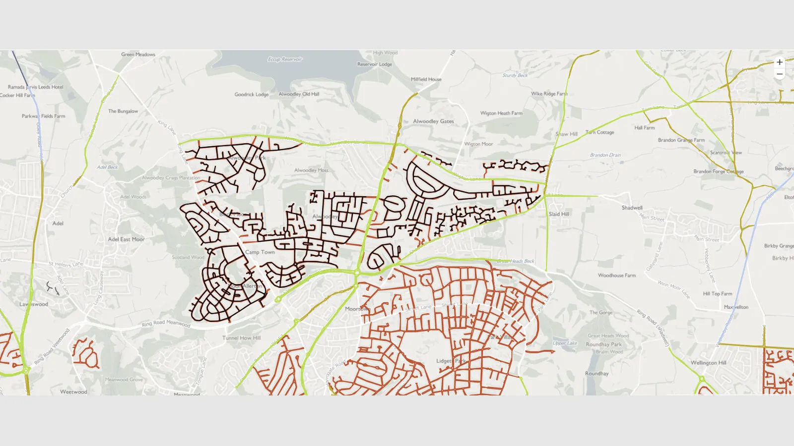
By obtaining spatial data from TROs it was possible to increase the use of valuable information and standardise it to advance the project. An API works to the TN-ITS specification to enable change updates to road data for digital transport services. A web demonstrator has also been created to visualise changes to the features when the source data is updated. The Traffic Regulation Orders discovery created a draft data model that will enable future TROs to be created spatially in a standard format that will allow more TRO data to be used in TN-ITS.

Result
The TN-ITS API is an enabler for changes to road information to be quickly incorporated into new integrated services, software and systems across Europe – for example vehicle to vehicle safety information, a key element for connected and driverless vehicles.
TN-ITS also enables services that have a positive impact on carbon reduction and underpins government policy of significantly reducing carbon emissions by 2050.
Reliable and up-to-date sources of the data within TN-ITS, will help develop services that reduce accidents on road networks.
Another key benefit of the project is that it will enable better services to be provided across the transport sector and support the DfT’s Future Mobility strategy. DFT are now exploring future plans for TRO data from all local authorities in England to be made spatially available and this will provide a consistent source of information for TN-ITS services.
The data model will help local highways authorities standardise their data in a suitable and consistent format, whilst giving them the ability to disseminate data which will be a valuable feed for changes to TN-ITS published data and which helps unify the UK digital transport data infrastructure.
"Thanks to these new tools, the UK is becoming one of the becomes a front runners on TN-ITS and CCAM implementations…UK has shown an impressive step forward implementing a web demonstrator that opens up the data repository API, demonstrating ease of access for map makers and service providers in the future."