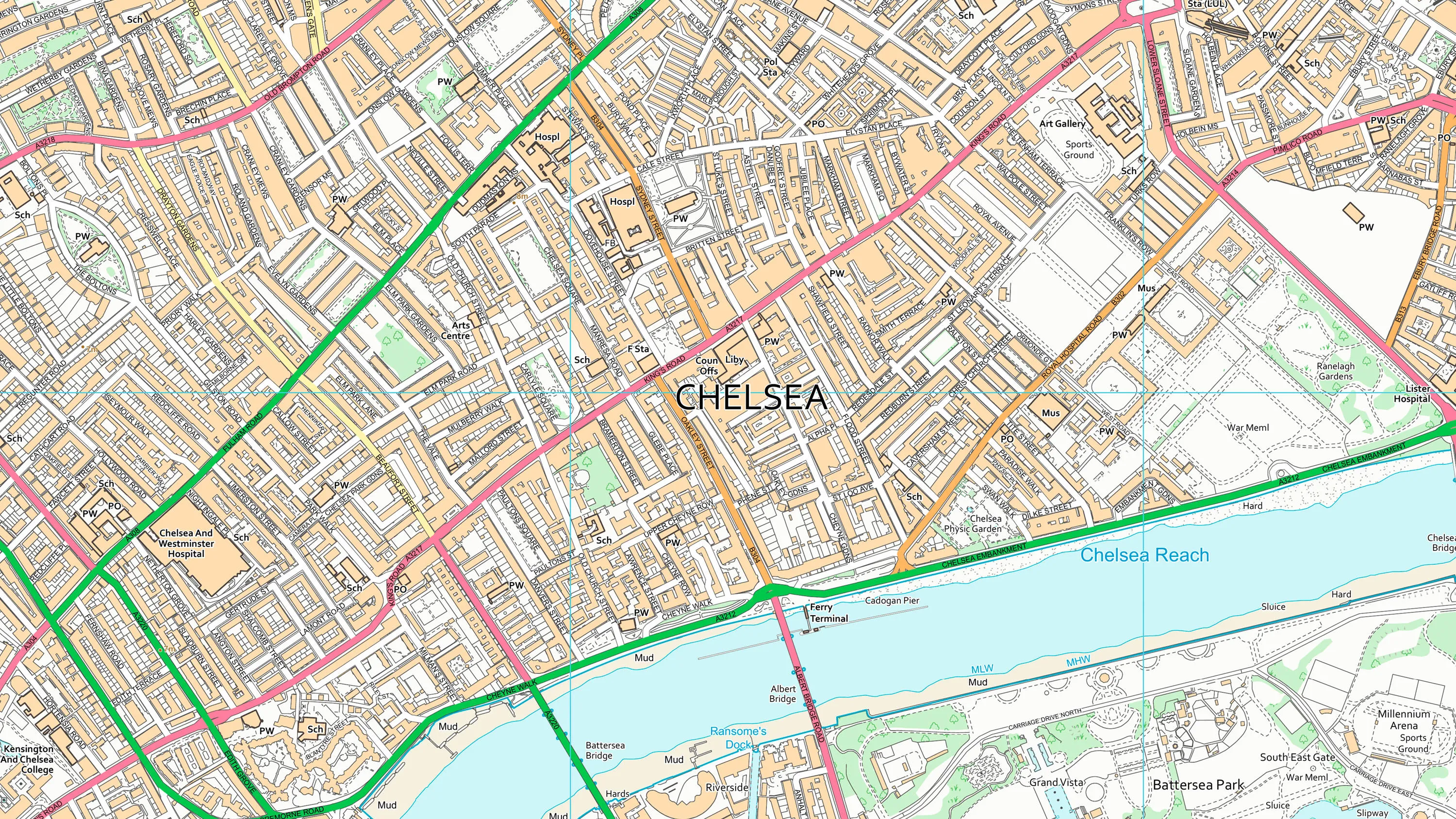
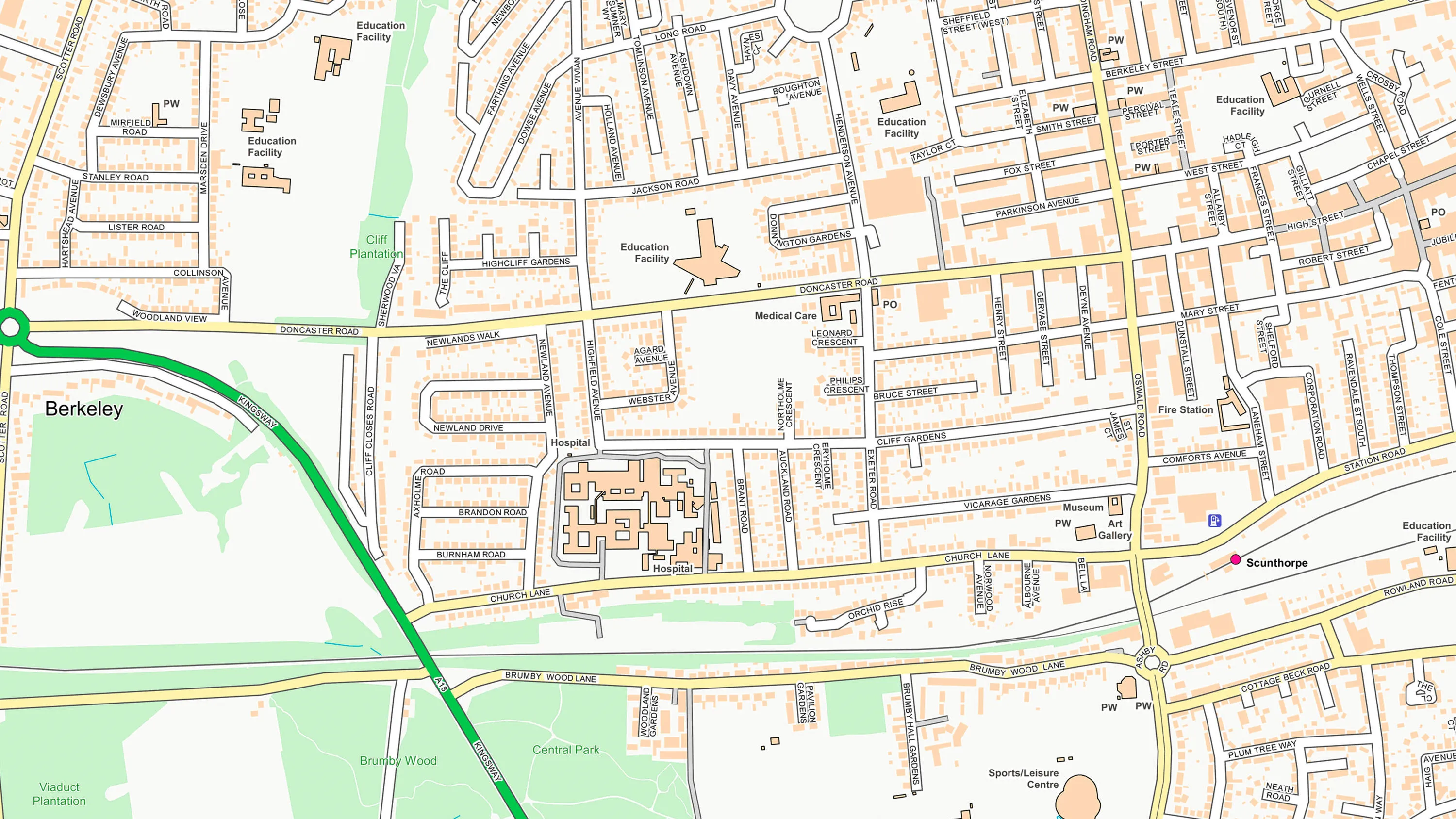
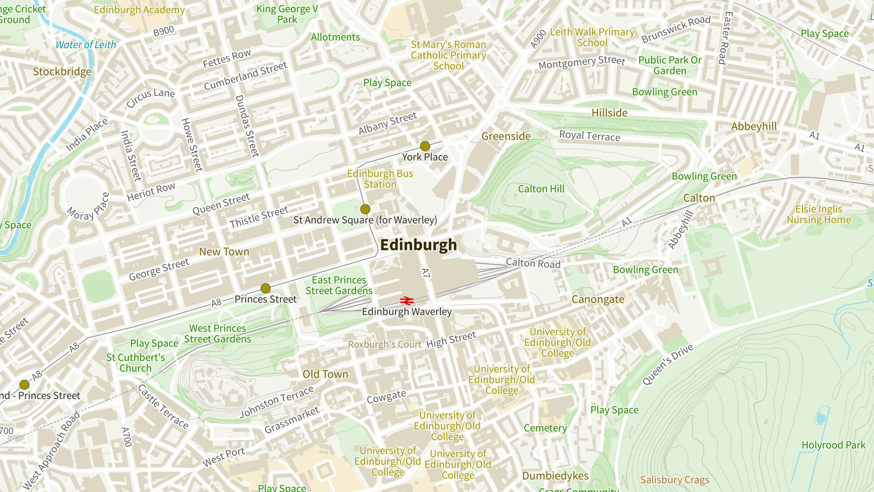
OS VectorMap District
What OS VectorMap District provides you with
Style your map to highlight what matters to you
OS VectorMap District is great if your map needs a custom look. Or use our free stylesheets if you prefer consistency.
Display the map layers you need
Enables you to display the necessary map layers only, providing sufficient detail whilst reducing the complexity.
Raster also available
Available in two pre-styled raster versions; full-colour for print outs and backdrop for analysis.
Related products
OS VectorMap Local
OS VectorMap Local is a highly-detailed, customisable, street-level map, showing fences, building outlines, paths and street names.
OS OpenMap – Local
OS OpenMap Local is an open dataset of detailed, street-level mapping of Great Britain.
OS Open Zoomstack
Ordnance Survey's OS Open Zoomstack is an open vector basemap showing coverage of Great Britain from a national level, right down to street detail.