Greenspace during Covid-19
Greenspaces have become even more important during Covid-19. We take a look at 3 different uses of our comprehensive OS greenspace data.
In this blog, we’ll look at 3 different uses; Office of National Statistics (ONS) and household access to greenspace, Fields in Trust’s Green Space Index and within our own OS Maps greenspace layer.

ONS report
By accessing our Mapping for Emergencies (MfE) service, ONS put in a request for our data to help understand how access to greenspace and outdoor gardens may impact Covid-19 infections and to highlight areas with limited outdoor access.
Using this data, ONS published a recent report which showed that one in eight households (12%) in Great Britain has no access to a private or shared garden during the coronavirus lockdown.
They then combined these findings with data from other sources such as Natural England to thoroughly analyse the impact of access to greenspaces. The most interesting fact we found out from it was that the median garden size for a house in London is 140 square metres, just over half the size of a tennis court. This compares with 188 square metres across Great Britain and 226 square metres in Scotland (the largest).

Fields in Trust
This week marks 95 years since the Fields in Trust charity was formed in London’s Royal Albert Hall at a meeting convened by the future HM King George VI. With OS Greenspace data at its core, The Green Space Index is Fields in Trust’s annual barometer of publicly accessible park and green space provision.
The analysis shows that despite their new found importance as a place to get outside, exercise and meet loved ones safely during the Covid-19 lockdown, 2.7m people in Great Britain lack easy access to a park or green space and the health and wellbeing benefits they deliver.
Fields in Trust believe the situation could get worse. In partnership with The Co-op, they mapped population growth projections and have estimated that across Britain, green space provision per person could reduce by 7.6% by 2040. Britain’s parks and green spaces are at significant risk of loss to development if we don’t act now to protect them.
The Green Space Index ranks Britain’s nations and regions against a minimum standard of park and green space provision. The East Midlands, London, North East, North West and Yorkshire and the Humber all fall below the minimum level. London was the poorest performer in Great Britain, scoring 45% less than the minimum standard of park and green space provision, and figures recently released by ONS found that Londoners are also the least likely to have access to a garden.
This analysis shows that there is unequal green space provision across Great Britain. Fields in Trust are working with landowners, community organisations and other partners to legally protect parks and green spaces ensuring communities have access, now and in the future, in areas where they are most needed for physical health, mental wellbeing and community connections.
Find out more at www.fieldsintrust.org/green-space-index.
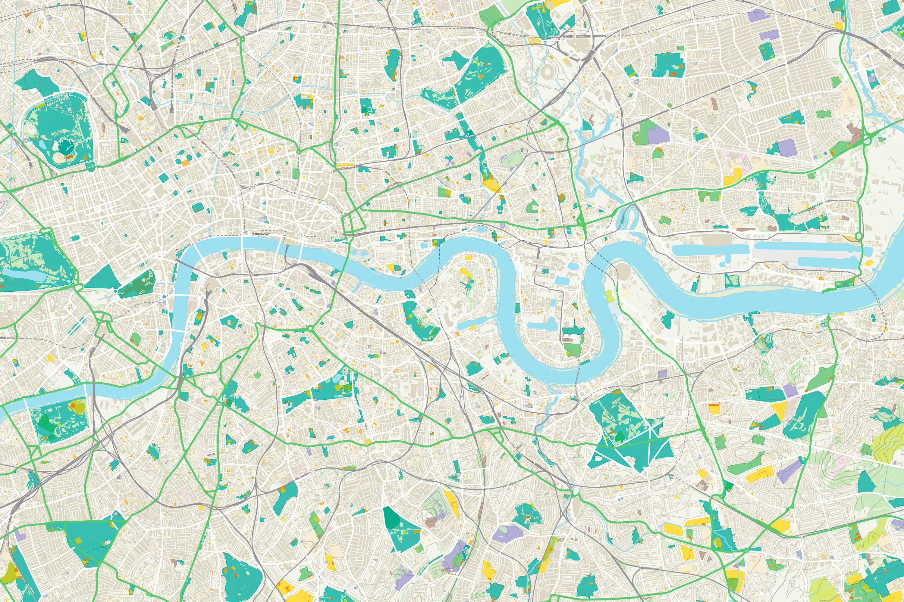
OS Maps greenspace layer
During lockdown, use of OS Greenspace layer in OS Maps has seen a massive spike in popularity, with over ten times more users of the map in April 2020 compared to last year – an increase of 1,161%!
As of 3 June, the popular greenspace layer in OS Maps has been updated to include over 60,000 features to help people GetOutside. The extra level of detail is designed to make it easier for people to find alternative green spaces to spend time outside where possible.*
The OS Greenspace layer now details 4,367 parcels of land as nature reserves in GB, 504 parcels of land as country parks, and 55,907 separate parcels as access land under the terms of the Countryside Rights of Way Act. The data shows country parks cover 0.24% of the country, nature reserves cover 1.52% and access land covers 4.45%.
Recent analysis of OS greenspace data estimates that more than a quarter of people (28%) in Great Britain live within a five-minute walk (300m as the crow flies) of a public park, while 72% live fewer than 15 minutes away (900m).
*Please note not every green space depicted in OS Maps is accessible for the public to visit. Some locations have restrictions so visitors should pay attention to signs.
Finding greenspaces has never been easier
The free Greenspace layer in OS Maps is the easiest way to discover greenspaces across Britain.

Our highly accurate geospatial data and printed maps help individuals, governments and companies to understand the world, both in Britain and overseas.
Products and solutions featured in this blog
OS Open Greenspace
An open dataset of greenspaces in urban and rural areas including playing fields, sports’ facilities, play areas and allotments.
