Blog
Read location data and geography related stories and commentary
Filters (1)
Page 1
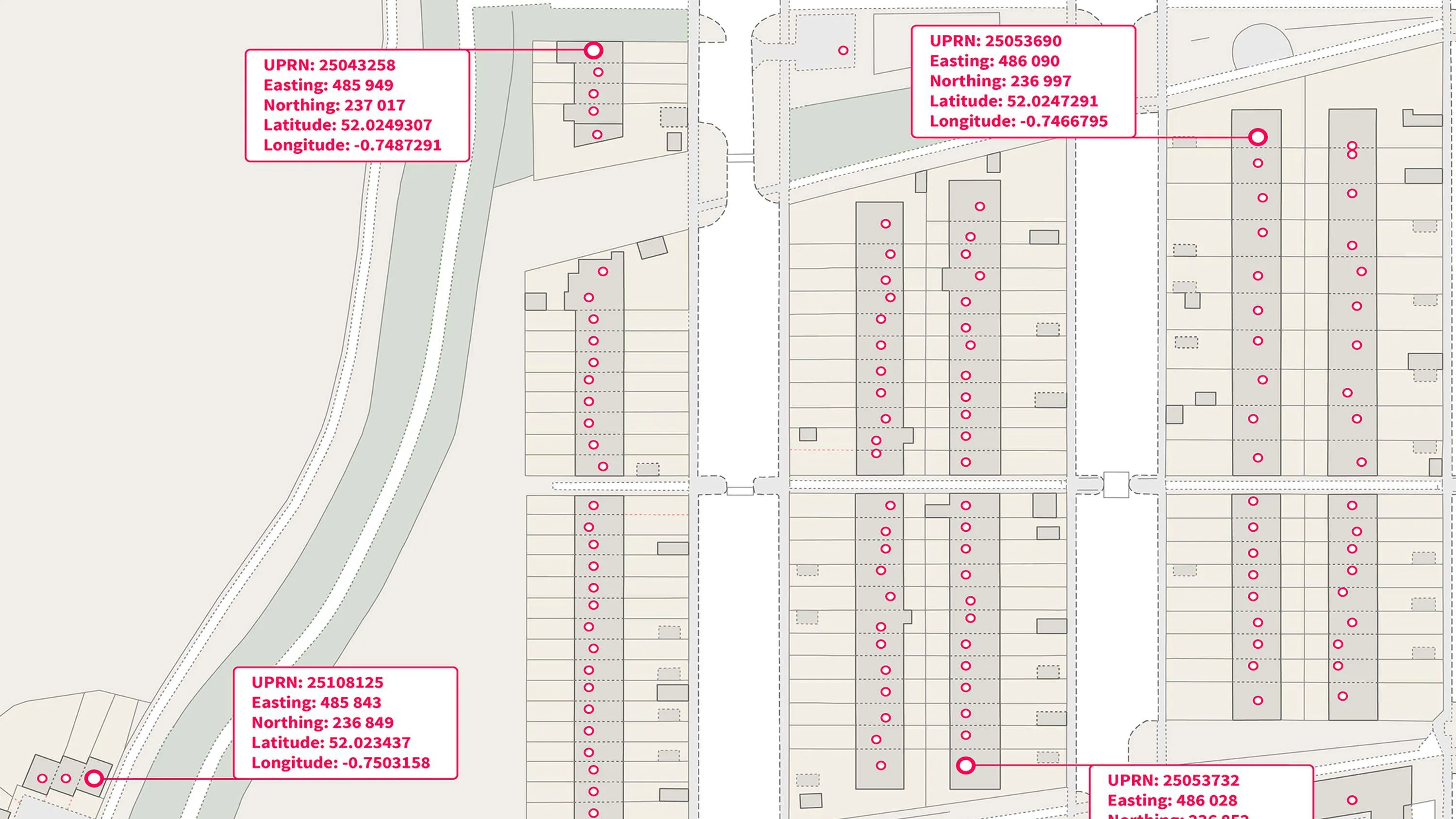
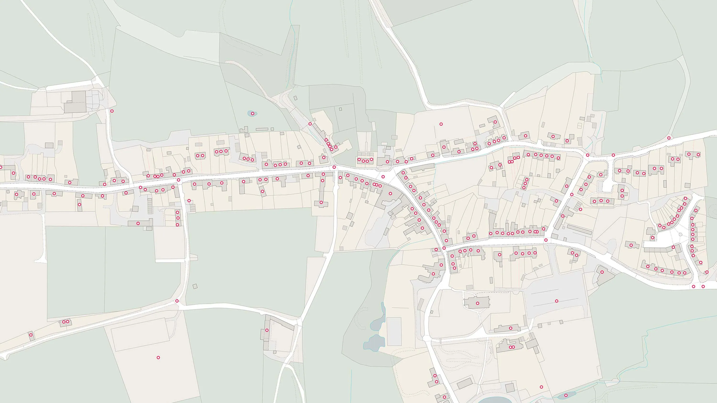
Ordnance Survey Open Identifiers Policy enables EPC data release to incorporate UPRNs
Read how the Department of Levelling Up, Housing & Communities (DLUHC) has benefited from incorporating the UPRN into its data release.
- Blog
UPRNs and the property lifecycle
UPRNs can improve address data management for addressable locations, throughout every stage of the property lifecycle.
- Blog
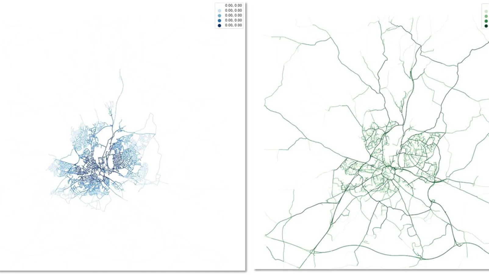
QuietPlacesUK: modelling GB’s noise pollution using OS addressing and mapping APIs
QuietPlacesUK is a start-up that provides automated, easy to understand environmental noise maps for property searching and planning.
- Blog
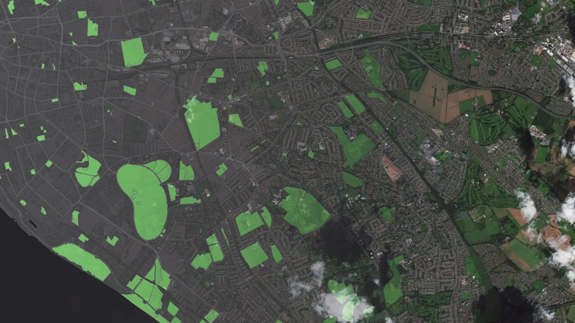
Greenspace during Covid-19
Greenspaces have become even more important during Covid-19. We take a look at 3 different uses of our comprehensive OS greenspace data.
- Blog
An interactive house prices map with OS data
Have you ever looked at the height of an object above sea level on a map and wondered how that figure is worked out?
- Blog
Microsoft and Ordnance Survey join forces to teach machines how to identify types of roofs
Ordnance Survey and Microsoft collaborate to teach machines how to identify types of roofs
- Blog
How to get maps for a planning application
All at sea about getting hold of maps for a planning application? We thought it would be useful to provide a quick guide to help make sense of it all.
- Blog