Blog
Read location data and geography related stories and commentary
Filters (1)
Page 1
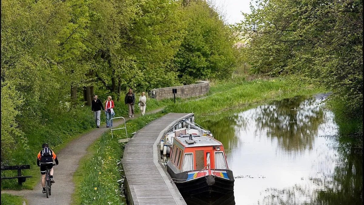
Why canal towpaths are good for people, the environment, and local economy
Scottish Canals have used Ordnance Survey (OS) data to help manage and maintain Scotland’s historic 141-mile canal network, providing numerous benefits for local communities.
- Blog
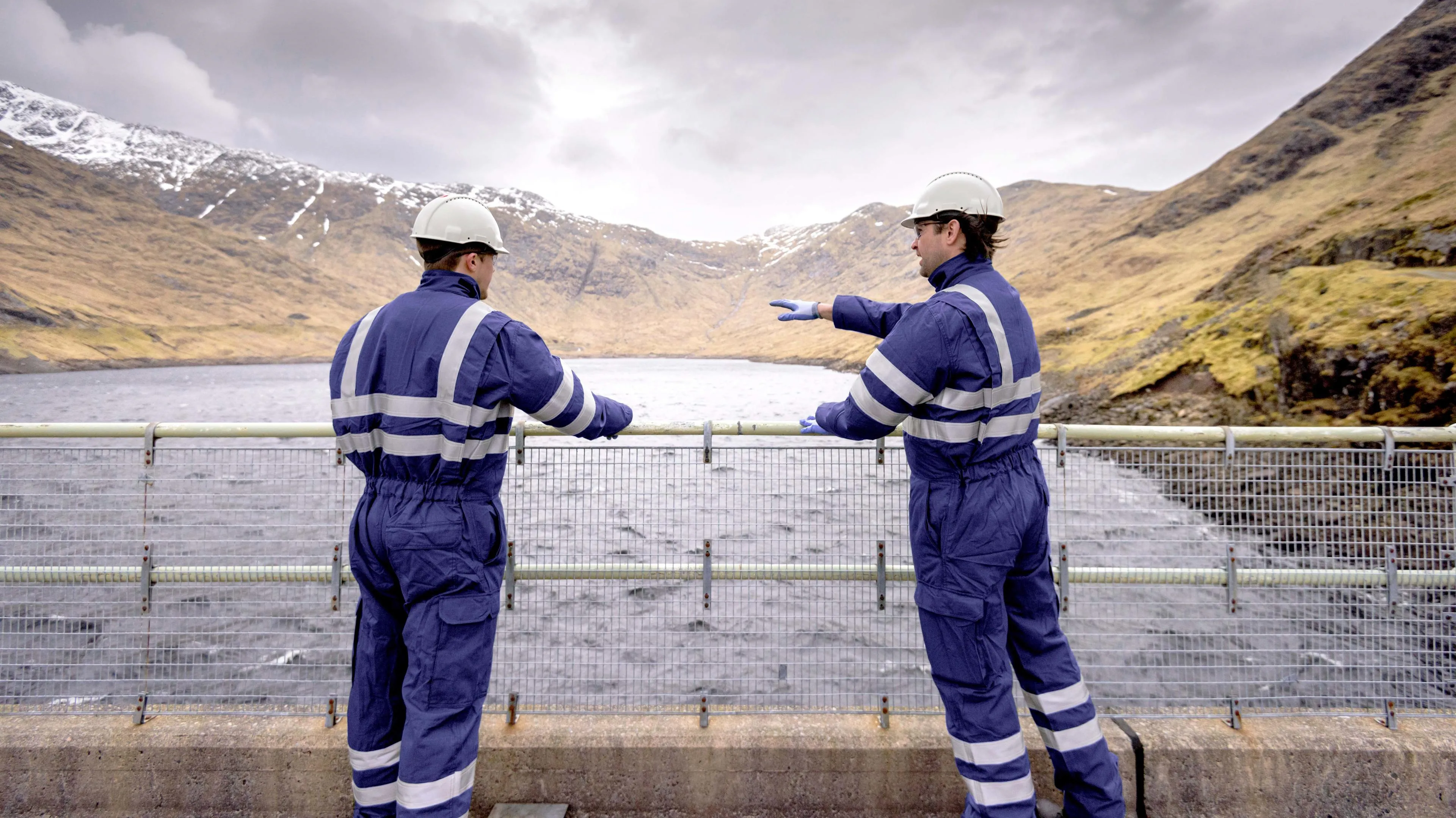
How the use of geospatial data is transforming climate action
New UN report highlights how the use of geospatial data is transforming global climate action and can help with climate resilience, adaption and mitigation
- Blog
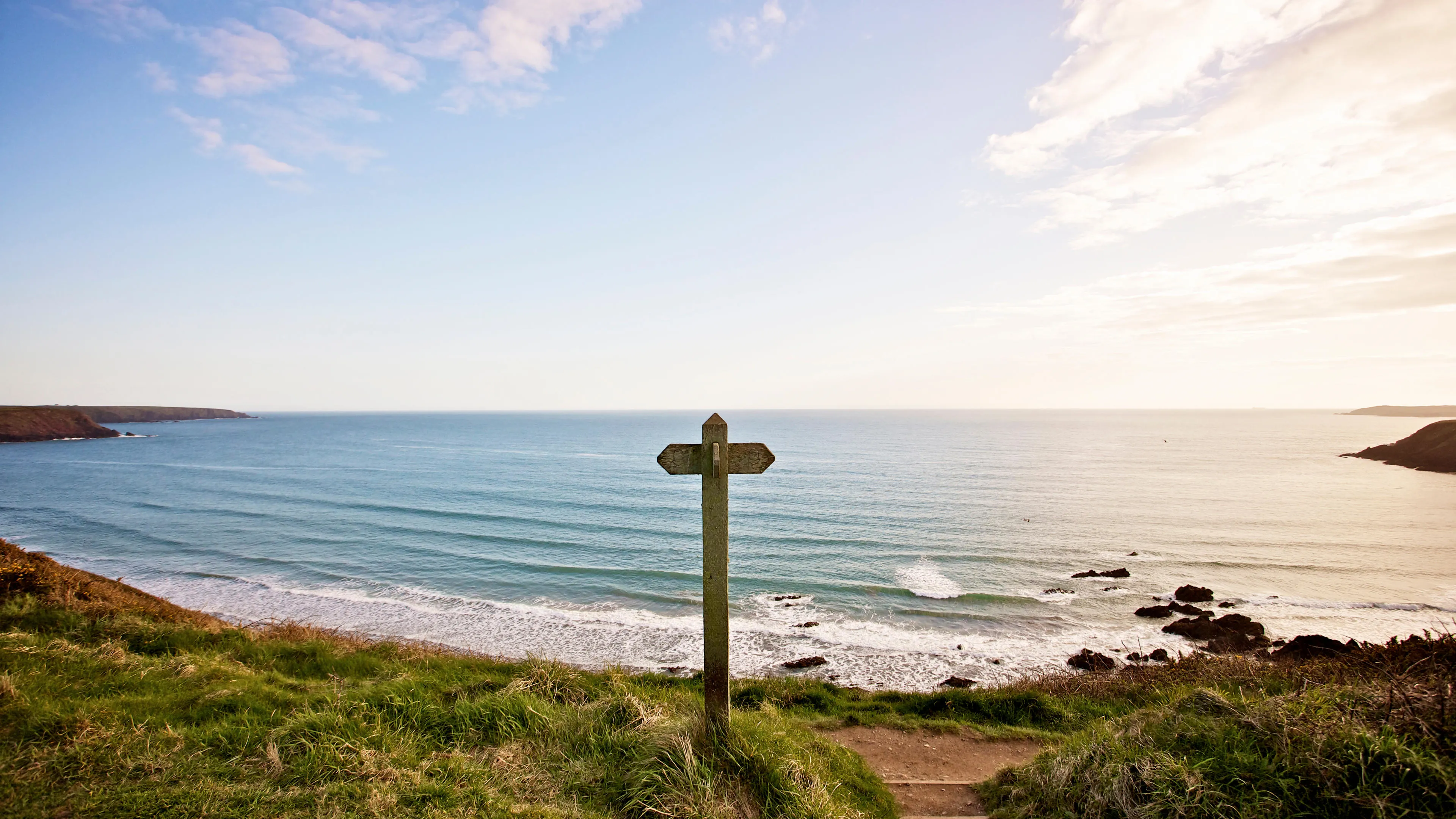
Why OS is on coastline pollution watch
Discover how Ordnance Survey is using location data, technology, and innovation in the fight against water pollution.
- Blog
How Field Dynamics harnessed OS data to innovate green solutions
How access to OS data has helped Field Dynamics create green solutions for British households
- Blog
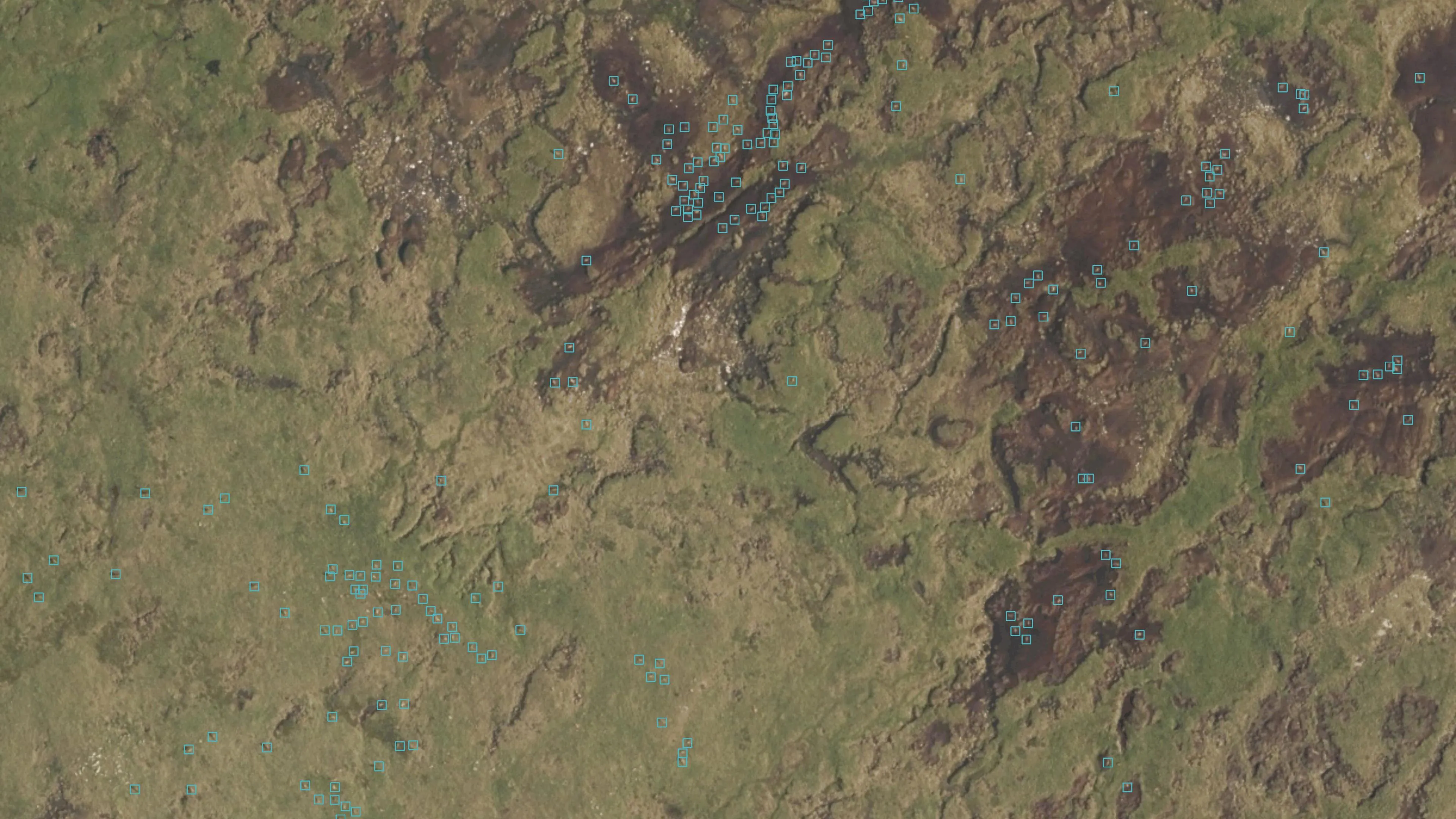
Geovation Scotlands’s EOLAS Insight are the first UK company to detect animals using satellite imagery
Since its launch in 2009, Geovation, Ordnance Survey’s (OS) geospatial innovation hub, has welcomed and supported a plethora of innovative and sustainably focussed start-ups.
- Blog
“It's a personal green mission: to get climate data into the hands of the people who need it.”
OS Innovation Lead Donna Lyndsay has published a report showcasing the benefits of space-based heat data.
- Blog
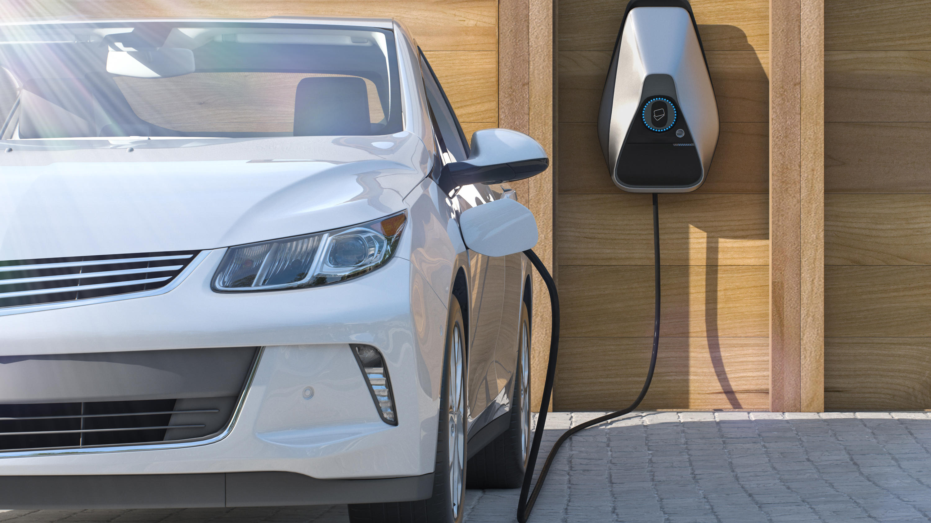
How geospatial data and expertise is driving UK towards zero emissions
Read how collaboration between OZEV and an OS Cadre deployment helped develop new infrastructure for charging electric vehicles.
- Blog
Harnessing the true potential of data can help utilities and telecoms to control today, and shape tomorrow
Utilities and telecoms organisations can harness location data to identify and plan for the biggest opportunities of tomorrow.
- Blog
BEIS explores using geospatial data for EV charge point mapping
BEIS advanced analytics team used geospatial data to plot EV charge point mapping.
- Blog