Using Ordnance Survey’s world-class Leisure maps in your app
Our OS Explorer Maps and OS Landranger Maps are available via API, and you can easily integrate them into your GIS, web and mobile applications
Update: 1 July 2020, OS APIs now live and available via our OS Data Hub, sign up here
These maps have enjoyed a successful transition from paper to digital, and you can easily integrate them into your GIS, web and mobile applications. Alongside 1: 2500 000 Scale Colour Raster and Miniscale, they form part of our Leisure style which is available via our new OS Maps API.
Have a look at this code example which will help you get started quickly. You will need an API Key from the OS Data Hub, and then you’re ready to build your own application or use these maps in your GIS.
Design classics
What makes these maps so iconic? Their design is clear and legible. Despite containing so much detail, these maps are easy to read and that is a testament to the cartography. We have been mapping the topography of Great Britain for over two centuries, so these maps are the culmination of many years of craft and expertise. Have a peek at how our maps have evolved over time – it’s awesome!
Let’s examine some of the main features of our maps:
You can walk on all public rights of way and some are open to cyclists, horse riders and motorists. They are routes marked with signs and we show over 220,000 km of them on our maps. Approximately 170,000 km of these are footpaths and 40,000 km are bridleways.
Symbology
A map symbol must squeeze a lot of information into a very small space. The symbols, shapes and patterns used to depict a large variety of features on these maps have become well understood. Check out the full set of symbology on the map legends:
1:25 000 Scale Colour Raster legend
1:50 000 Scale Colour Raster legend
Font
Our Leisure maps have long utilised Gill Sans as their typeface – it is a quintessentially British classic. It helps add hierarchy and clarity to the complex craft of cartographic label placement.
“There is warmth and humanity found in Gill Sans that is found in few sans serif typefaces.”– Fonts.com
Using OS Maps API, you can switch between map styles so you can complement the Leisure maps with our three others: Road, Outdoor and Light.
“OS Leisure maps are well-known, well-liked and trusted by our users.”– Walk Unlimited
Explore the OS Data Hub
With over 20,000 updates to our databases every day, you have access to a comprehensive and up-to-date set of authoritative data through the OS Data Hub

Our highly accurate geospatial data and printed maps help individuals, governments and companies to understand the world, both in Britain and overseas.
Products and solutions featured in this blog
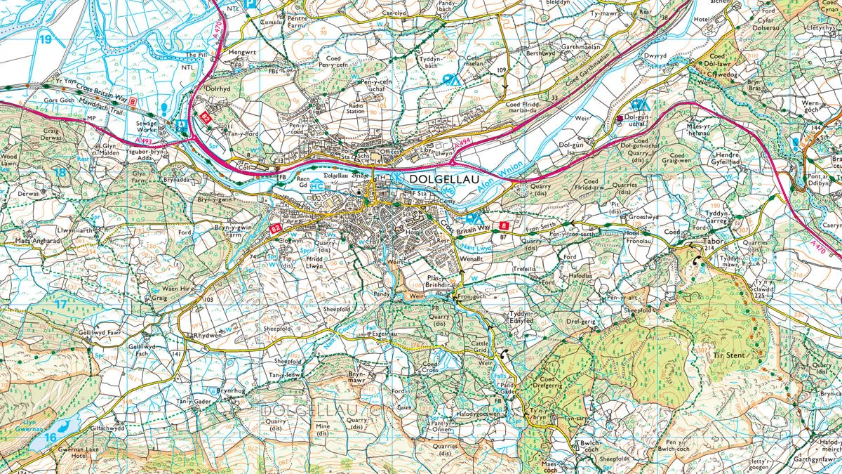
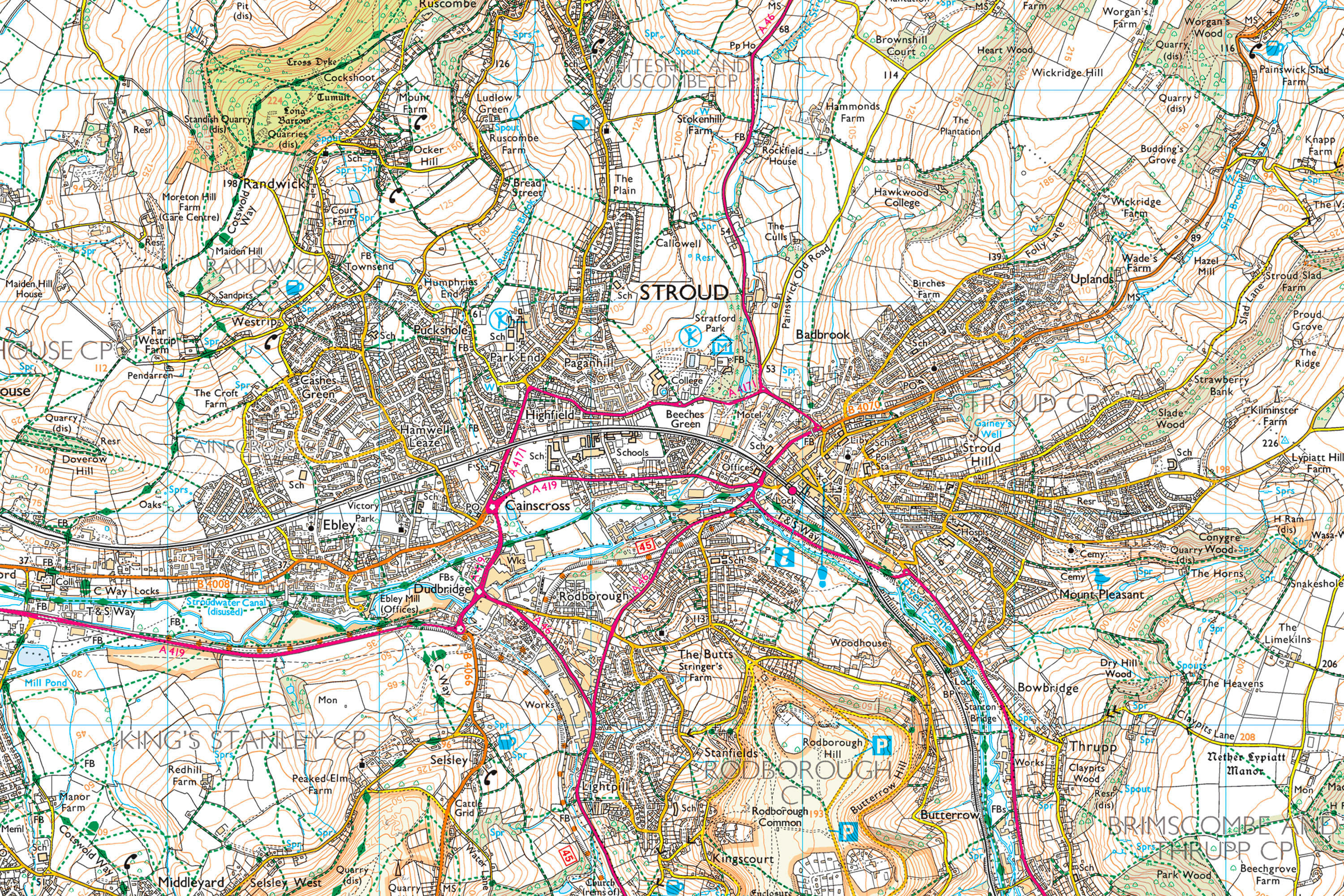
1:25 000 Scale Colour Raster
1:25 000 Scale Colour Raster is the digital alternative to Ordnance Survey's OS Explorer paper map series for Great Britain.
1:250 000 Scale Colour Raster
1:250 000 Scale Colour Raster is an open dataset of the regional view of towns and villages, roads and places of interest.
1:50 000 Scale Colour Raster
1:50 000 Scale Colour Raster is the digital alternative to Ordnance Survey's OS Landranger paper map series for Great Britain.