Blog
Read location data and geography related stories and commentary
Filters (1)
Page 1
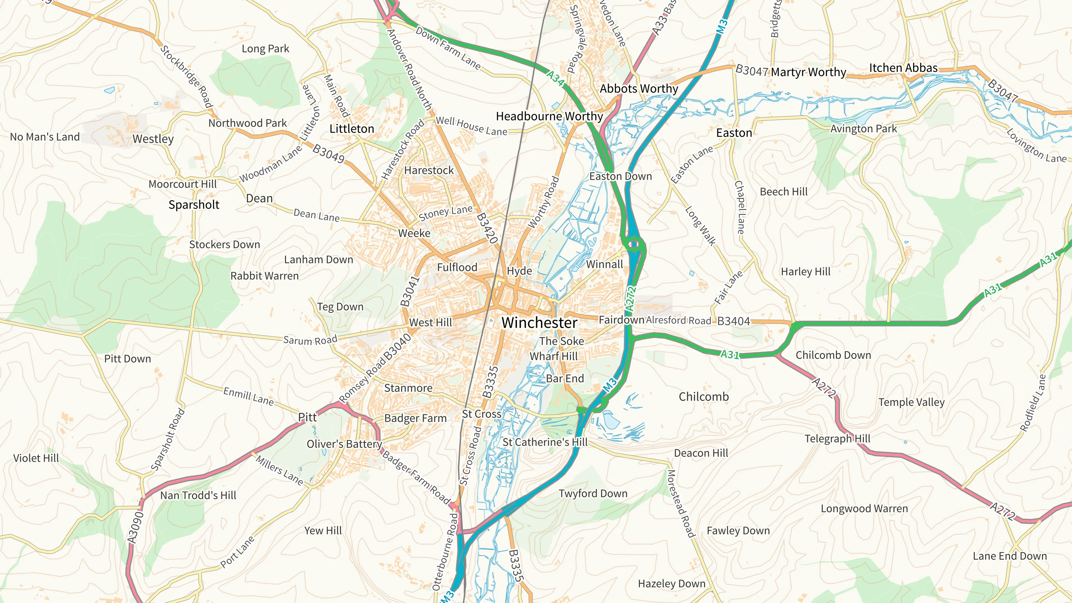
New basemap styles added to OS NGD Tiles API
Fully customisable and interactive basemaps can be created to visualise data from Ordnance Survey’s National Geographic Database – using our vector tile OS NGD Tiles API.
- Blog
YouTube sensations Map Men collaborate with Ordnance Survey
Comedy duo has produced a unique re-telling of Britain’s national mapping service’s story.
- Blog
How Ordnance Survey supports its military community - in recognition of Armed Forces Week and Reserves Day
Members of OS's Armed Forces network talk about the support they have been given in the workplace
- Blog
‘Three Norths’ one year on – where are they now?
Twelve months after True North, Grid North and Magnetic North aligned in Britain for the first time, this geographical oddity has turned up in rural Worcestershire.
- Blog
Meet OS Placemaker – Luke
In the seventh in our Meet the OS Placemaker video series, Luke outlines Geovation’s role as part of Ordnance Survey (OS).
- Blog
How digital transformation at Ordnance Survey is delivering new data
One year on from the launch of the OS National Geographic Database, what new data is being delivered, and how is it easier to use and access?
- Blog
How Ordnance Survey is making an impact in Wales
Geospatial data from OS is a critical tool for the Welsh Government, helping teams deliver a range of improved services in health, transport and more
- Blog
Meet OS Placemaker - James
In the sixth in our Meet the OS Placemaker video series, James shows us how how data is captured to create 3D mapping.
- Blog
Meet OS Placemaker - Tom
In the fifth in our Meet the OS Placemaker video series, Tom points to the night sky to highlight the link between science and data science.
- Blog