Blog
Read location data and geography related stories and commentary
Filters (1)
Page 1
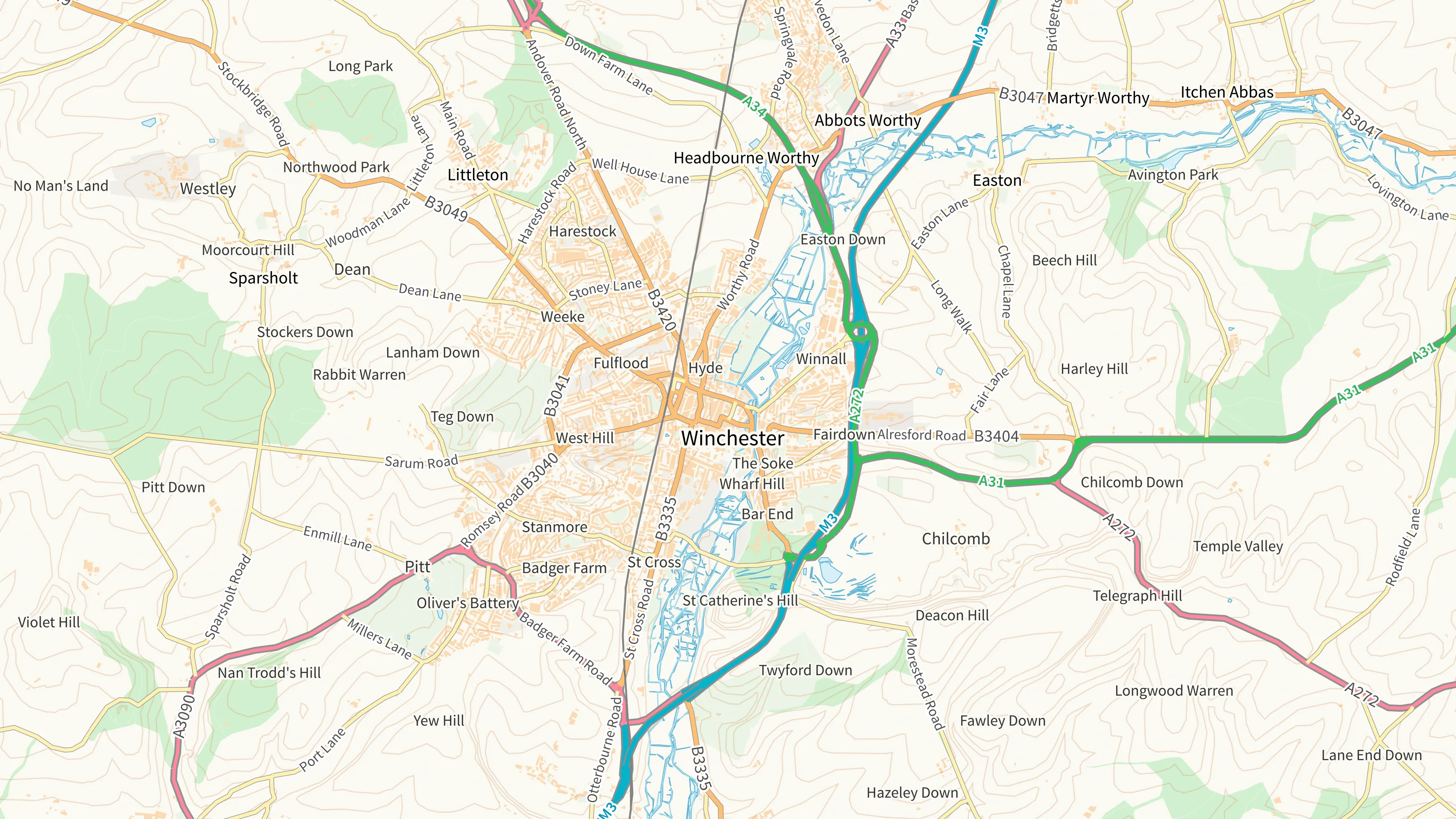
Evolving Great Britain’s trusted basemap
Ordnance Survey is developing OS BaseMap Pro: the next‑generation detailed basemap, and the future successor to OS MasterMap Topography Layer.
- Blog
How Ordnance Survey will be supporting the new Land Use Framework for England
Putting geospatial data in the hands of those who need it to make smarter, more informed decisions about land use.
- Blog
New basemap styles added to OS NGD Tiles API
Fully customisable and interactive basemaps can be created to visualise data from Ordnance Survey’s National Geographic Database – using our vector tile OS NGD Tiles API.
- Blog
How digital transformation at Ordnance Survey is delivering new data
One year on from the launch of the OS National Geographic Database, what new data is being delivered, and how is it easier to use and access?
- Blog
How Ordnance Survey is making an impact in Wales
Geospatial data from OS is a critical tool for the Welsh Government, helping teams deliver a range of improved services in health, transport and more
- Blog
How the British Army use OS NGD API - Features for battlefield training
High fidelity mapping from the OS National Geospatial Database creates immersive battlefield simulations, which are key to army training.
- Blog
Why OS strategic partnerships unlock value
Emapsite, an OS Strategic Partner, recently engaged in a collaborative session with the OS product team to deepen their understanding of the National Geospatial Database.
- Blog
Nationwide adopt the UPRN to optimise home purchase journey’s
Nationwide Building Society have utilised UPRNs to speed up the house buying and selling process.
- Blog