Ordnance Survey (OS) OpenData is a portfolio of free digital geospatial datasets covering Great Britain, available for unrestricted, free commercial and personal reuse under the Open Government Licence (OGL). It provides essential mapping, boundary, and location data via the OS Data Hub.

OS OpenData products
Free digital geospatial open data sets covering Great Britain
What is OS OpenData?
Features of OpenData
Diverse data formats
Data is available in multiple, user-friendly formats including GeoPackage, GML, Shapefile, and CSV.
Direct download access
Users can access data via the OS Data Hub and download datasets for offline use.
Rich attribution
Data includes detailed attributes such as building outlines, road classifications, greenspaces, and administrative boundaries.
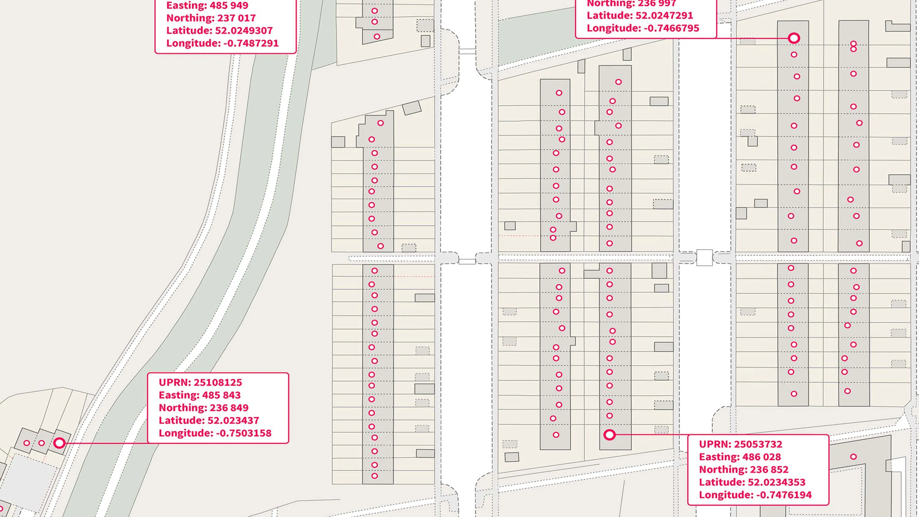
Unique identifiers
Users can access unique property reference numbers for linking and visualising address data, plus unique road identifiers and key topographic features.
National coverage
Almost all OpenData products provide complete, consistent, and seamless coverage of England, Scotland, and Wales.
How features map to products
The table below highlights the products best suited to different feature types, including addressing, imagery, transport, and areas.
| Addresses and names features | Products |
|
Unique Property Reference Number (UPRN), Local authority and postal addresses | |
|
Objects without postal addresses | |
|
Settlement and place names | |
|
Postcode points |
| Maps and imagery features | Products |
|
Large-scale: 1:10 000 and above | |
|
Mid-scale: 1:15 000 to 1:100 000 | |
|
Small-scale: 1:250 000 and below |
1:250 000 Scale Colour Raster, |
|
Feature classification | |
|
Customisable styling |
| Transport networks features | Products |
|
Road network | |
|
Unique identifiers |
| Land and terrain features | Products |
|
Urban green space classification | |
|
Contours | |
|
Unique identifiers |
| Water features | Products |
|
Water connectivity network |
| Areas and zones features | Products |
|
Administrative areas, e.g. county councils, Electoral areas, e.g. Westminster constituencies | |
|
Built-up extents | |
|
Unique identifiers |
OpenData products
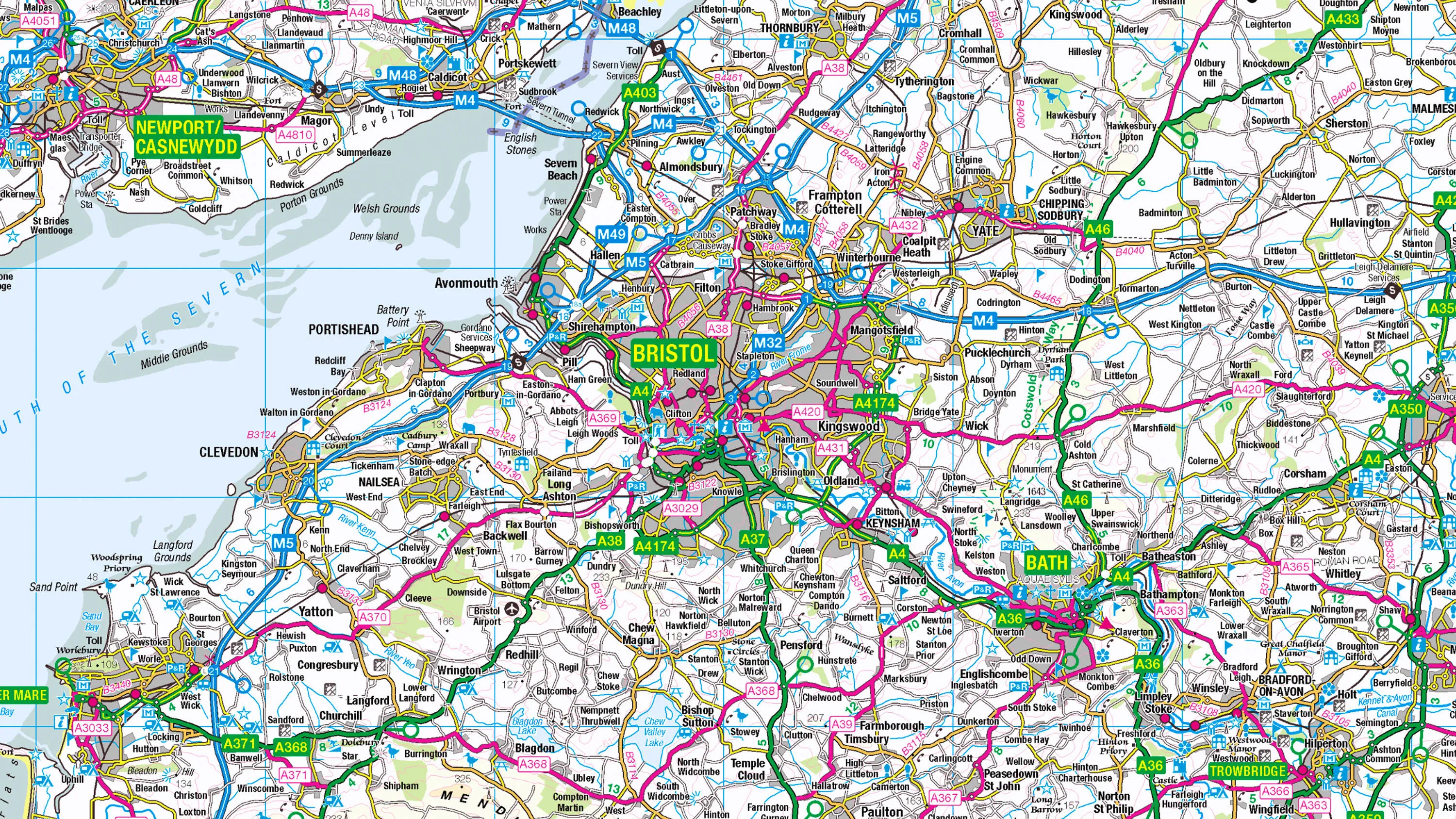
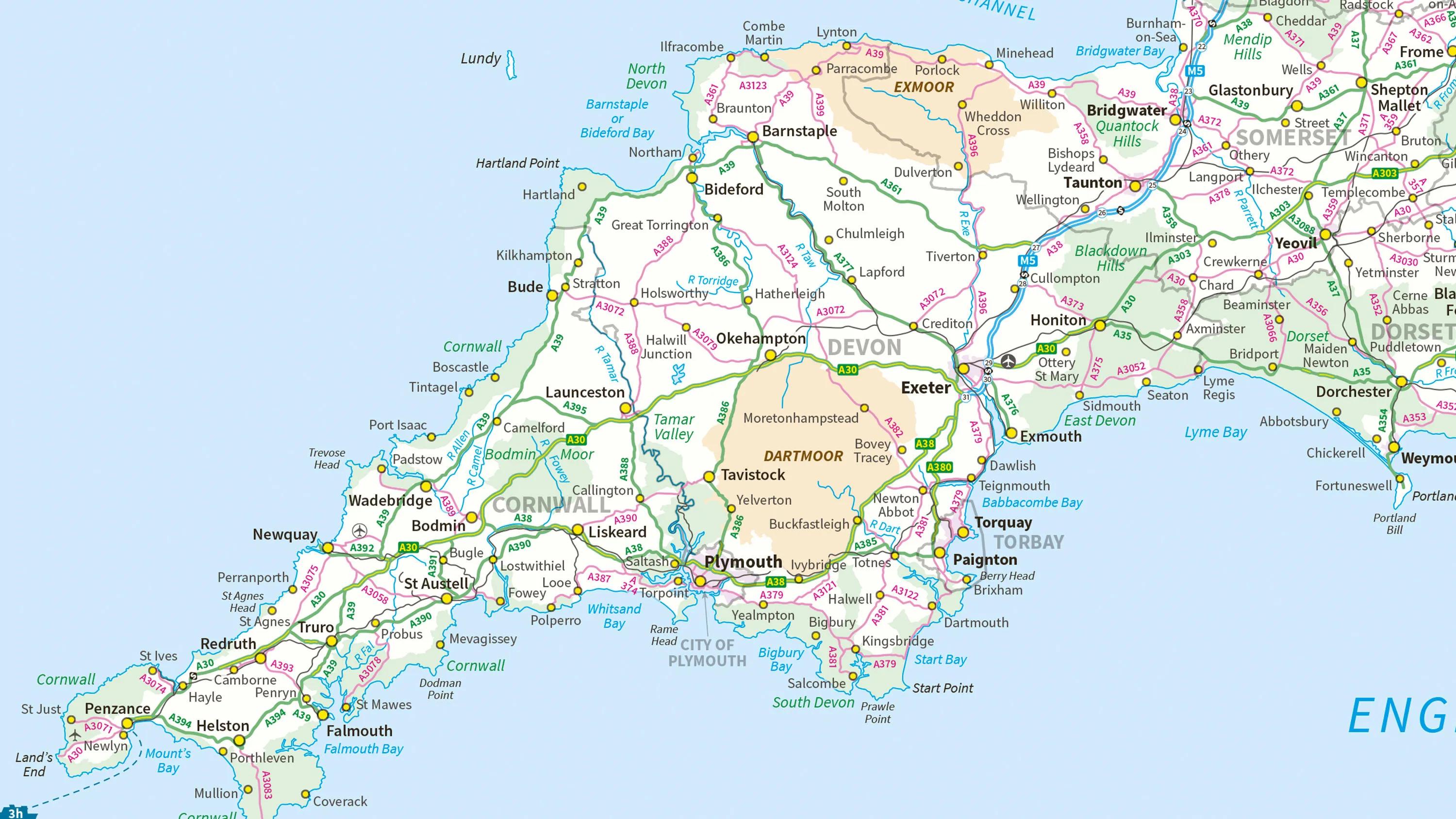
1:250 000 Scale Colour Raster
1:250 000 Scale Colour Raster is an open dataset of the regional view of towns and villages, roads and places of interest.
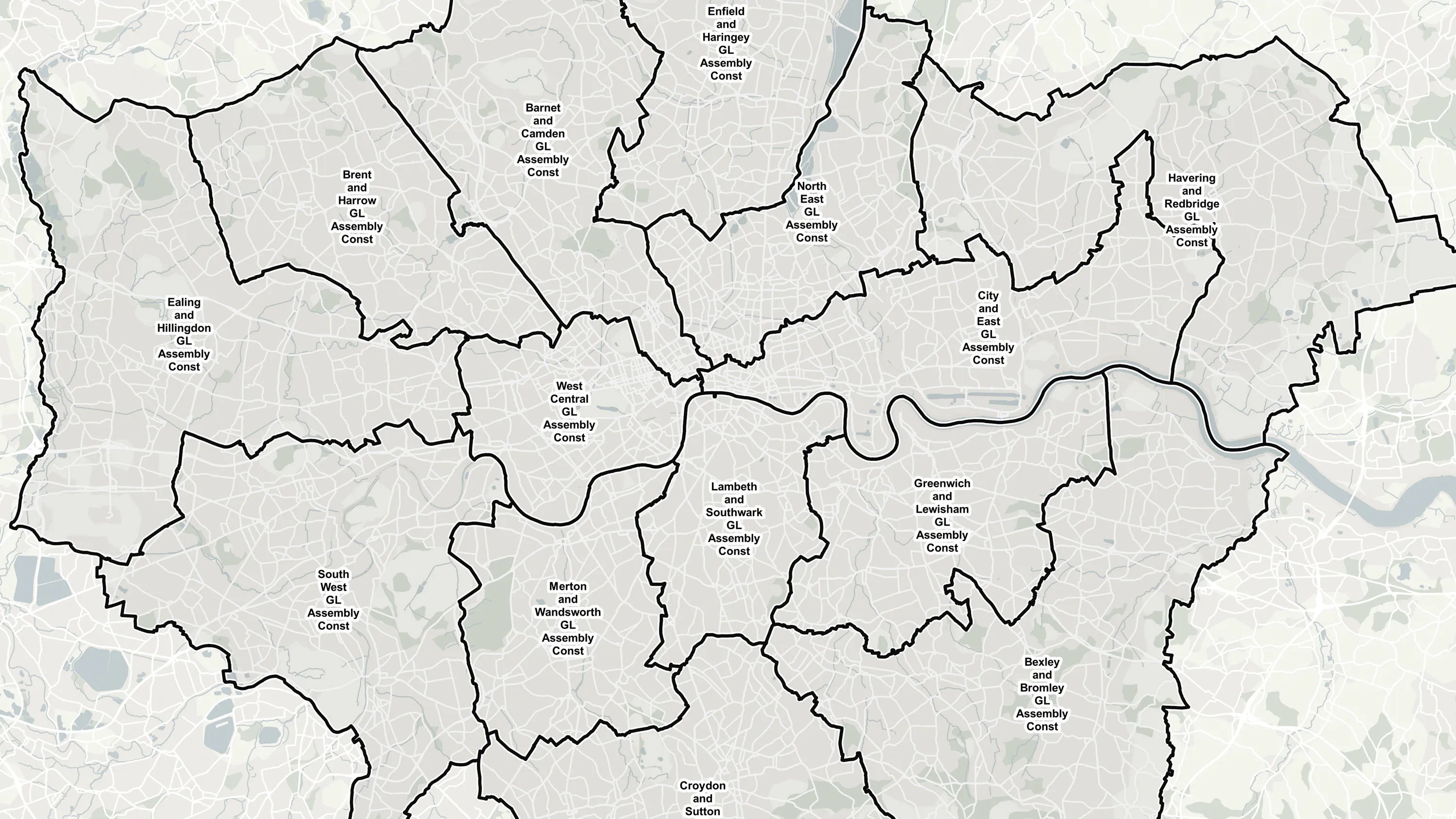
Boundary-Line
Ordnance Survey's Boundary-Line is an open dataset of every administrative boundary in Great Britain.
Code-Point Open
Ordnance Survey's Code-Point Open is an open dataset of all the current postcode units in Great Britain.
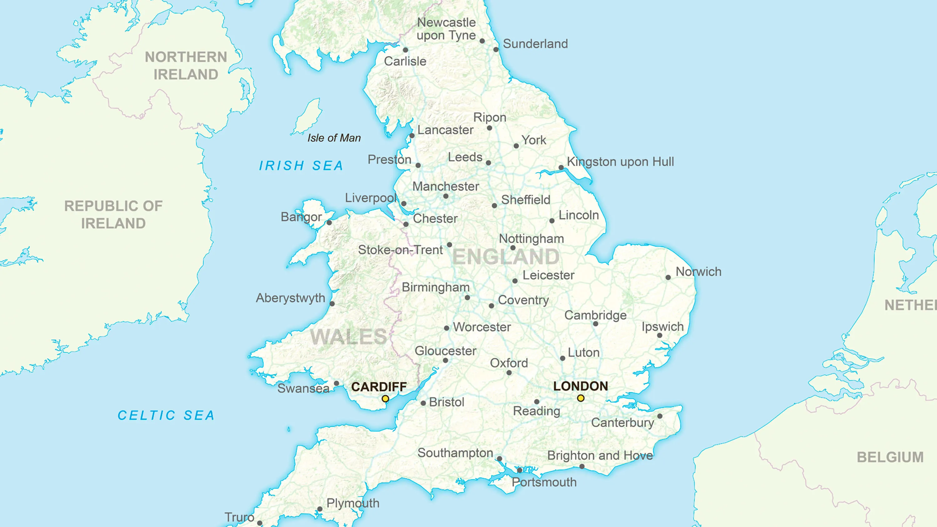
GB Overview Maps
Ordnance Survey's GB Overview Maps is an open overview map of Great Britain.
MiniScale
Ordnance Survey's MiniScale is an open national backdrop map of Great Britain.
OS Open Built Up Areas
The statistical geographies used by Government departments to analyse census data, deliver on policy and improve services.
OS Open Greenspace
OS Open Greenspace is Britain’s most comprehensive Open dataset of greenspace. Find the location of public parks, sports facilities, play areas, allotments and more.
OS Open Linked Identifiers
An open dataset of cross-referenced identifiers between various OS data products.
OS Open Names
OS Open Names is an open dataset of place names, road numbers and postcodes in Great Britain.
OS Open Rivers
An open dataset of the high-level view of watercourses in Great Britain.
OS Open Roads
An open dataset of the high-level view of the road network in Great Britain.
OS Open TOID
A dataset of unique identifiers for a wide range of land-scape and built environment features with a generalised location from OS MasterMap products.
OS Open UPRN
An open dataset enabling linking, sharing and visualisation of data related to UPRNs.
OS Open USRN
An open dataset containing all USRNs from OS MasterMap Highways Network with a simplified line geometry.
OS Open Zoomstack
Ordnance Survey's OS Open Zoomstack is an open vector basemap showing coverage of Great Britain from a national level, right down to street detail.
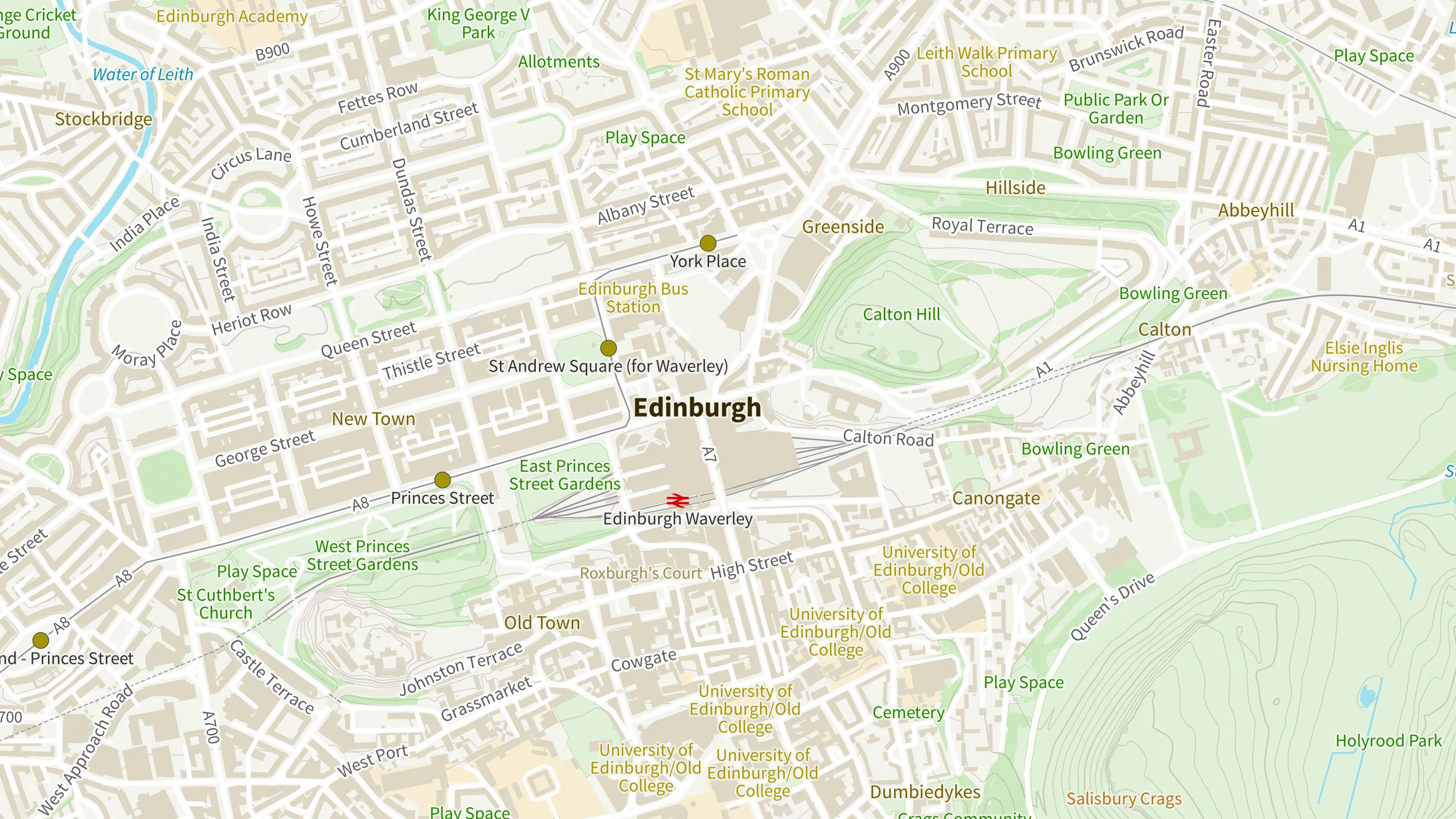
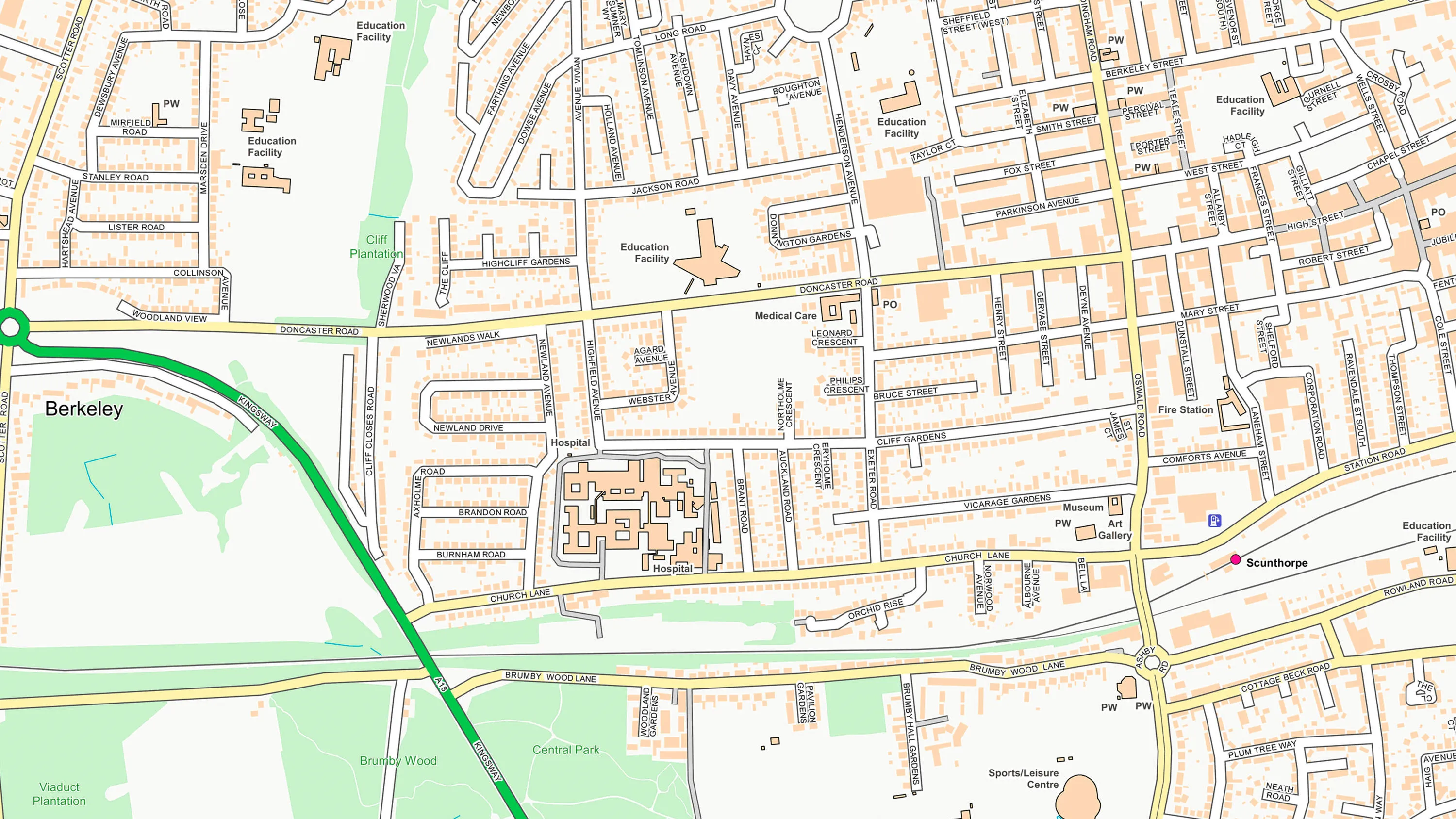
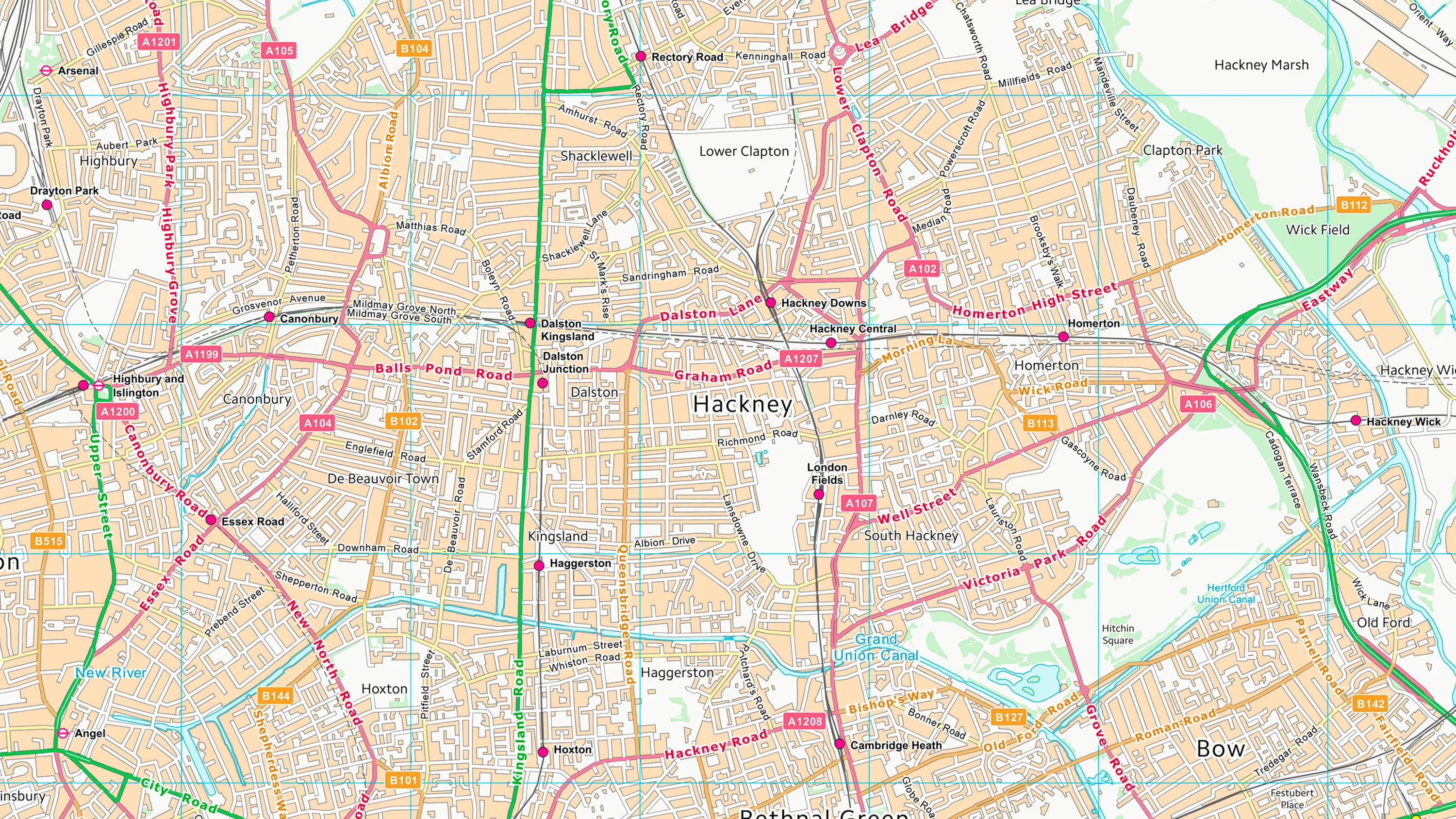
OS OpenMap - Local
OS OpenMap Local is an open dataset of detailed, street-level mapping of Great Britain.
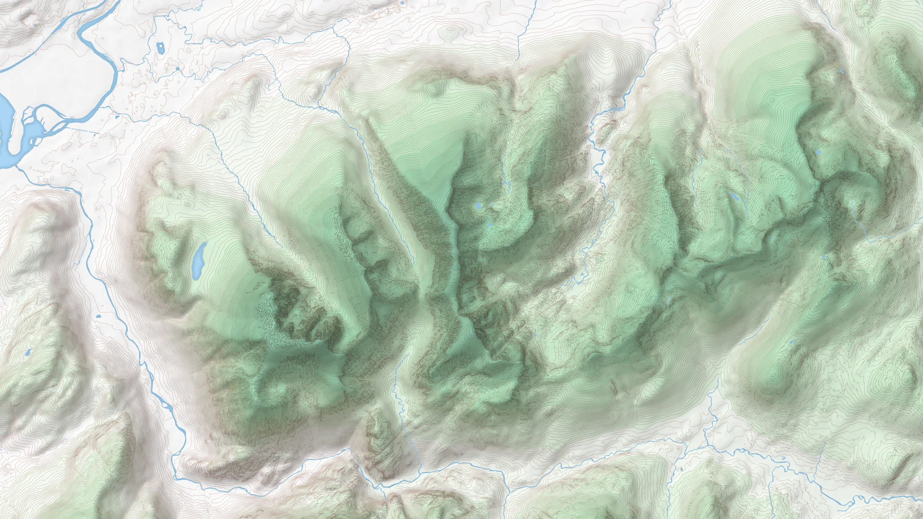
OS Terrain 50
OS Terrain 50 is an open height dataset of contours with spot heights, breaklines, coastline, lakes, ridges and formlines for Great Britain.
OS VectorMap District
OS VectorMap District is an open basemap to overlay and visualise your own information on.


OpenData support
Find support and read answers to questions we are frequently asked about OS OpenData.