Overview
A valuable dataset to stimulate creative thinking and innovation to meet current challenges.
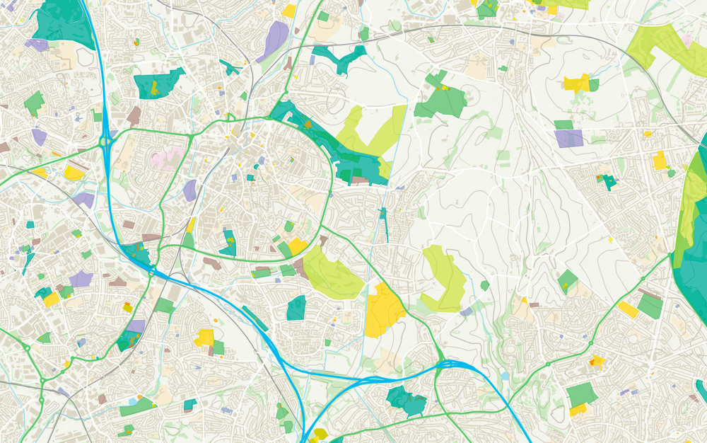
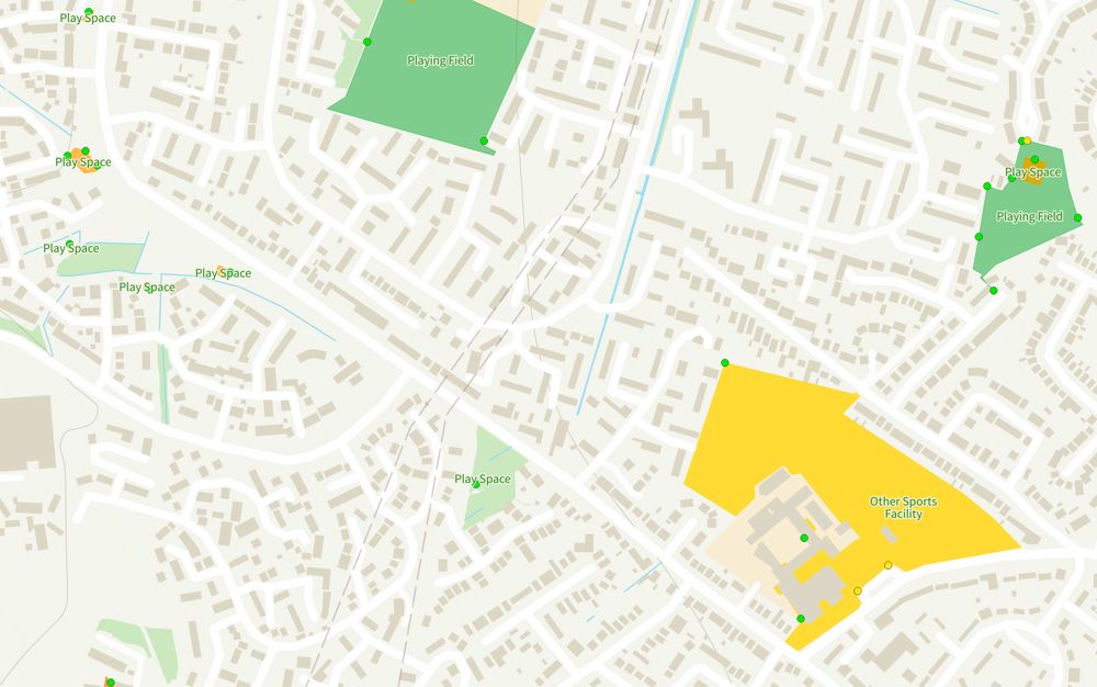
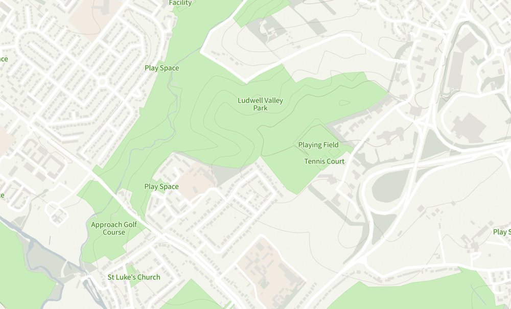
Finding greenspaces has never been easier. Britain’s most comprehensive Open dataset of greenspace provides the foundation for you to help create greener and healthier communities.
Understand the location of public parks, playing fields, sports facilities, play areas and allotments, along with access points for entering and exiting urban and rural greenspaces.
Green communities
Britain’s most comprehensive Open dataset of greenspaces underpins a range of apps, products and innovations - providing the foundation to help create greener and healthier communities.
Planning for health
Incorporated as a layer into SHAPE, the dataset has been used alongside asset location data (GPs, pharmacies, schools) and indicator data (population and deprivation), to help inform and support the strategic planning of services and physical assets across the health economy.
Vital in emergencies
A vital tool in helping our emergency services, OS Open Greenspace includes site use and access points, making it quicker to get to emergency situations.
How to get this product
Our open data products are covered by the Open Government Licence (OGL), which allows you to:
- copy, distribute and transmit the data;
- adapt the data; and
- exploit the data commercially, whether by sub-licensing it, combining it with other data, or including it in your own product or application.
We simply ask that you acknowledge the copyright and the source of the data by including the following attribution statement:
- Contains OS data © Crown copyright and database right 2022
- Where you use Code-Point Open data, you must also use the following attribution statements:
- Contains Royal Mail data © Royal Mail copyright and Database right 2022
- Contains National Statistics data © Crown copyright and database right 2022
Technical specification
| Key Features | What this product offers |
|---|---|
| Format | GeoPackage, GML, ESRI Shapefile and Vector Tiles. |
| Data structure | Greenspace Sites (polygons) and Access Points (points). |
| Attributes | Greenspace Sites: Greenspace Site ID, Site Function, and Site Name. Access Points: Access Point ID, Access Type, and Greenspace Site ID. |
| Update frequency | Six Monthly (April and October) |
| Supply | Freely available to download via the OS Data Hub. |
| Coverage | Great Britain |
| Support documentation |