Whether it’s managing climate change risk, helping more people to enjoy healthier lives, or connecting people to public services, our customers are using location intelligence to get a greater understanding of the future and shape the places we live in.

About us
OS location intelligence helps people explore and shape the world
Ordnance Survey (OS) is Great Britain’s National Mapping Service
Our trusted location data and expertise is helping to build a modern digital Britain; by creating sustainable, healthy, and connected societies.
What we do
We create, maintain, and distribute detailed location information for Great Britain. We record and manage 600 million geospatial features in the National Geographic Database (NGD).
Directors
Our thought leaders are re-imagining and re-thinking the use of geospatial on the global stage, to improve our everyday lives. Meet the decision-makers here at OS.
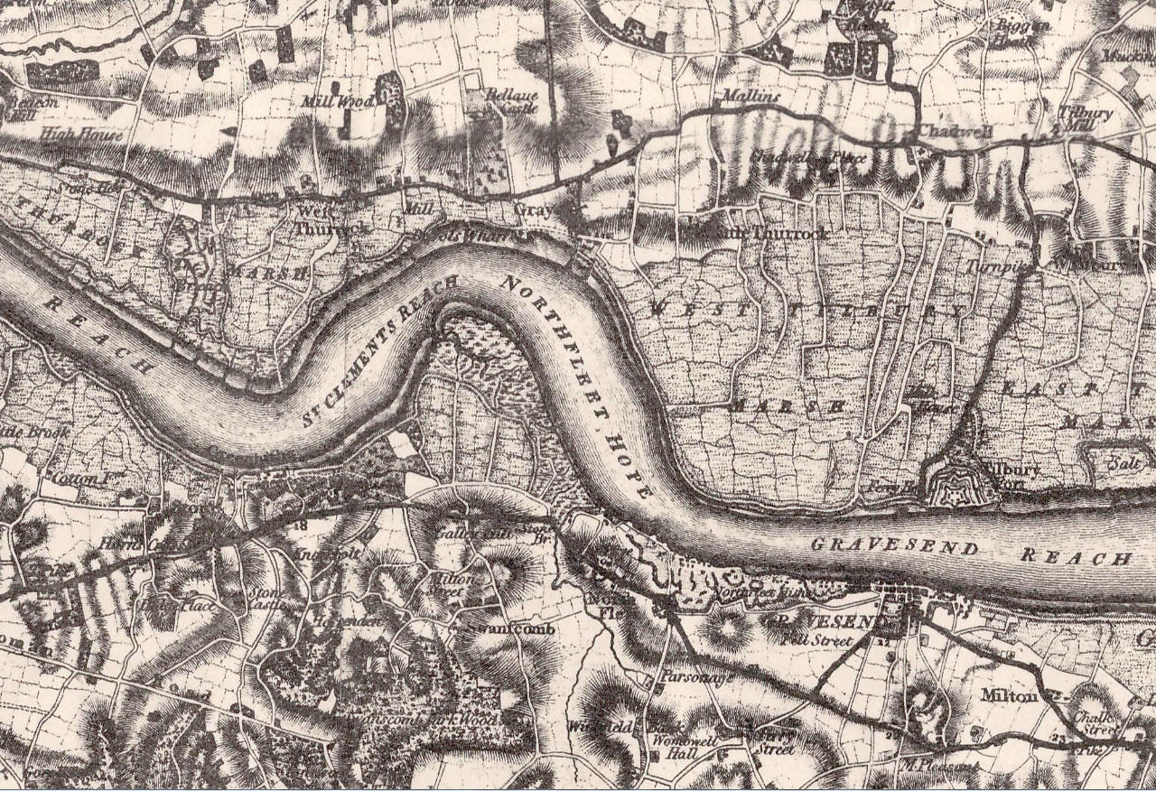
The history of OS
We’ve been mapping Great Britain since 1791, innovating for over 230 years and always evolving to meet the needs of the nation. Read our story for yourself.


Historical map and survey archives
You can get some historical maps from our map shop, and a whole range of historical products from our Partners.