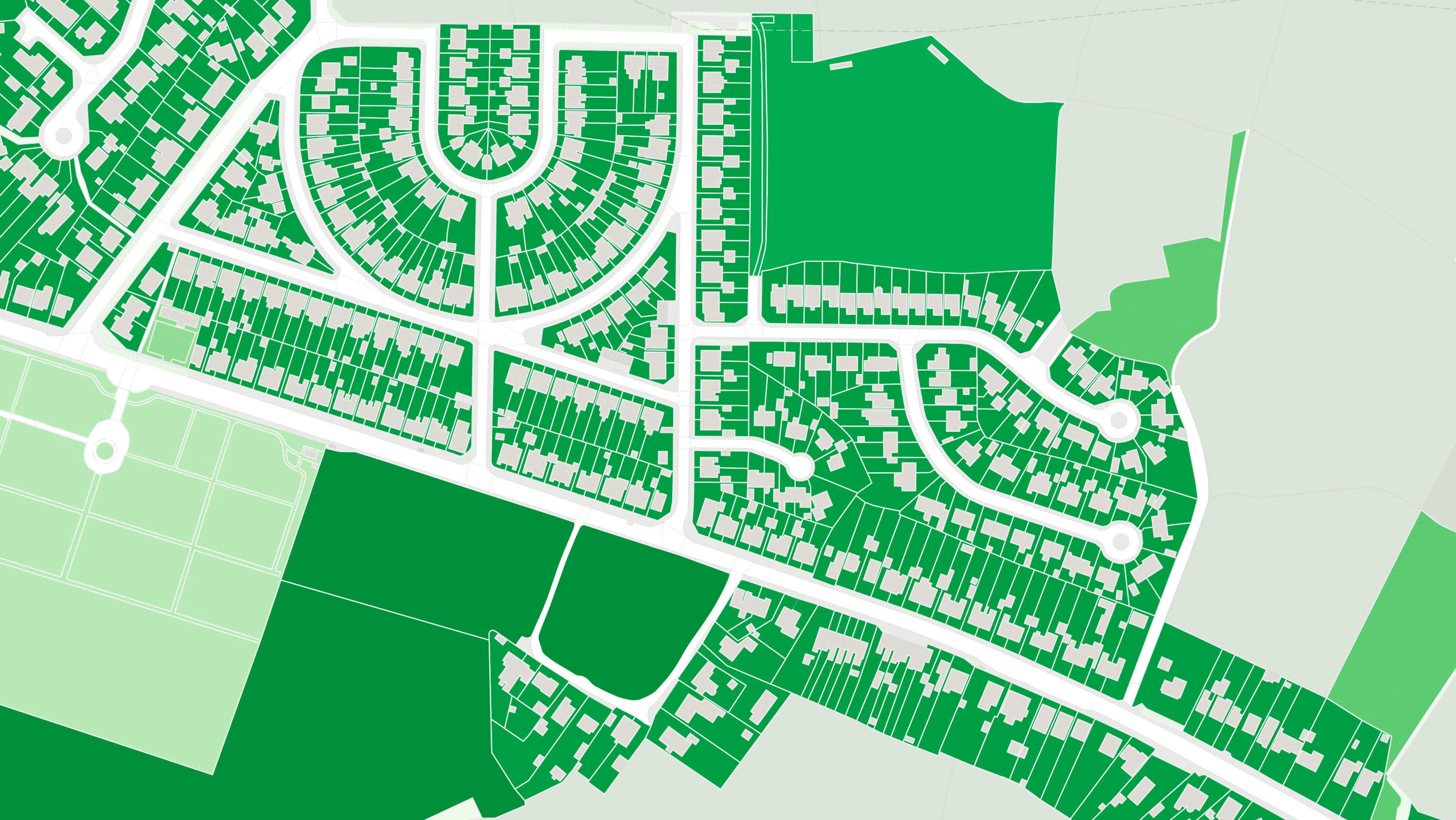
Comprehensive Open dataset of green spaces
Finding green spaces has never been easier. This provides the foundation for you to help create greener and healthier communities.
Finding green spaces has never been easier. This provides the foundation for you to help create greener and healthier communities.
Understand the location of public parks, playing fields, sports facilities, play areas and allotments, along with access points for entering and exiting urban and rural green spaces.
This dataset has been used alongside asset location data (GPs, pharmacies, schools) and indicator data (population and deprivation), to help inform and support the strategic planning of services and physical assets across the health economy.
A vital tool in helping our emergency services, OS Open Greenspace includes site use and access points, making it quicker to get to emergency situations.
OS MasterMap Greenspace Layer is a detailed dataset of the greenspaces within an urban area for Great Britain.
Visualise and analyse geometric representations of different types of land use, land use sites, and site access data.
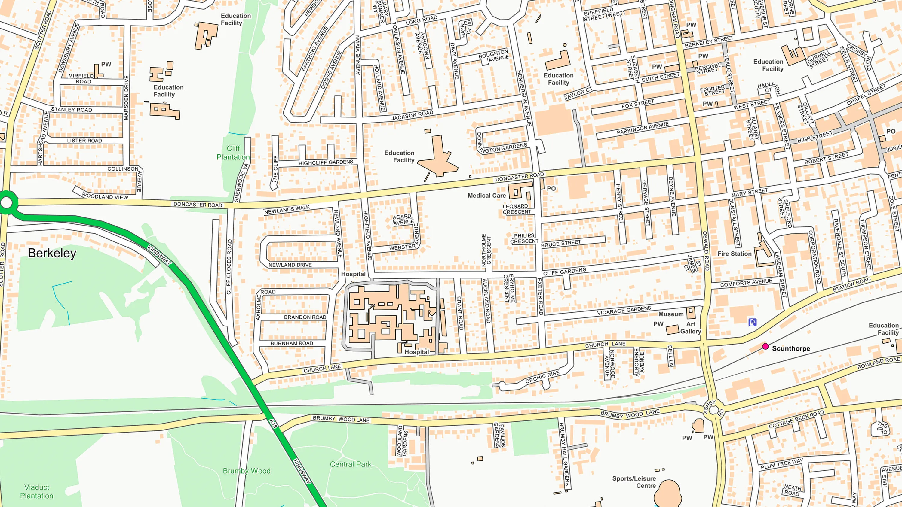
OS OpenMap Local is an open dataset of detailed, street-level mapping of Great Britain.