- Find out more about the PSGA
- Explore the PSGA member licence
- Access the PSGA members area

Our customers
See who uses Ordnance Survey (OS) data and find out how we could help you

Government and public sector
Discover how location data is supporting our public services

Businesses
Find out which global businesses, sectors and projects are using our data
- Discover who uses OS data
- Access OS data via our Partners
- Find a business licence

General public
We provide mapping information and services
- Access mapping information for a range of topics
- See election maps
- View historical map archives

OS Partners
We use OS Partners to sell our data
- Join our OS Partner network
- See who we partner with
- Access OS Partner support
Discover what OS has to offer
OS data products
Discover OS geospatial data download products, API products and open data products, and find out how they can benefit your organisation.
Consultancy services
Our consultancy services help organisations unlock value, make confident decisions and deliver sustainable outcomes.
The Public Sector Geospatial Agreement (PSGA)
Learn about the PSGA and how it helps public sector organisations deliver services through provision of location data.
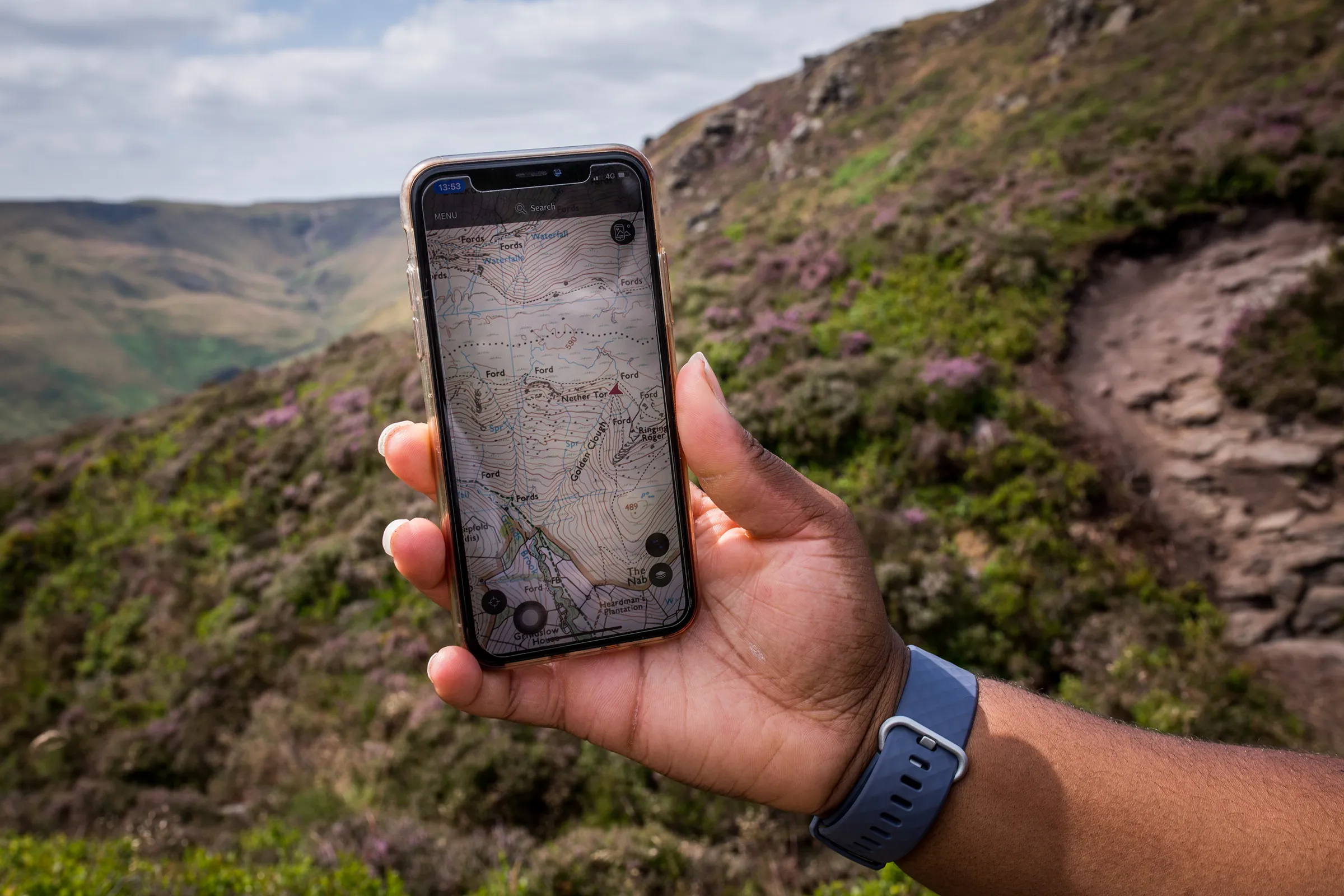
OS Maps
Discover millions of routes to walk, run and cycle; or plot your own with route planner tools on web and app. Try OS Maps for free.
Paper maps
Explore our extensive range of paper maps, from localised and highly detailed, to our regional road and tour maps.
Education resources
Bring your geography classes to life with a range of geography and GIS resources from OS.


Support and resources
Customer support
Access resources for topics including land and property boundaries, election and historic maps, and OS Partners.
Developer support
Developer support resources are available to all users, providing guidance managing your OS data account and your mapping projects.
Licensing guidance
Get help with selecting the right licence and support with sector-specific licensing requirements.
Your account
Sign in to your account with OS
Can't find what you need?
Contact us directly to speak to our friendly customer service team