We are helping our customers to see a better place. Because location data has the power to create new and exciting opportunities, as we move towards a connected digital society. Our continually refined data presents an accurate digital view of locations, with which our customers can build or refine their own solutions.
What we do at Ordnance Survey
Helping build a modern digital Britain
With our valuable location data and expertise, built on over 230 years of experience, we’re maintaining the UK’s position as number two in the world for geospatial capability. We help the Department for Science, Innovation and Technology (DSIT) on its mission to deliver improved public services and grow the economy, and we are an active partner of the UK Geospatial Commission.
OS has a wide range of customers across government, business, and consumer markets. If a government authority wants to map its road network, a private enterprise is looking to relocate its assets, a start-up company is making its ‘Find us’ page on its website – all these examples, and countless more, see key stakeholders turn to OS for data and support.
Using our location data unlocks insight and facilitates important decision-making processes, that will go onto enhance the quality of life of future generations, and contribute to the future success of Britain and other nations.
A critical data infrastructure
OS maintains a National Geographic Database (NGD) of Great Britain. It contains over half a billion features, and can be updated up to 20,000 times a day. The uptake and increase in data transactions continues, resulting in more customers building innovative new services.
Changes to the NGD are delivered by remote sensing. We capture changes to the land with aerial photography from our Flying Unit, and external suppliers; then the high-definition images are overlaid with existing map data on screen, to check where features have changed. Instant updates can then be identified, and made to our data.
Meanwhile, our 230 surveyors collect precise location information using specialised equipment and OS Net, our national network of Global Navigation Satellite System (GNSS) base stations.
This underpins the most detailed and frequently updated mapping in the world.
Working together with:
Government and public sector
In communities across Great Britain, our work enables a safe, healthy, and prosperous society. We serve over 6,000 public sector customers with location data and expertise, helping deliver more efficient public services such as transport, healthcare, housing and much more.
The government’s Industrial and Digital strategies recognise the importance of location data for our future economy. The Geospatial Commission supports OS, among others, to focus on where geography and spatial data can make a real difference in tackling the key government and citizen challenges.
We’ve provided essential location data that helps monitor the development of new housing, and supported emergency services to better coordinate planning for and responding to unexpected events.
By working with partners across government, we’re helping to put ‘place’ at the heart of the UK’s connected economy of the future.
Businesses
With OS data and expertise, our customers are creating efficiencies, gaining insight and building critical data infrastructures across a wide range of sectors: healthcare, energy, utility, property, retail, transport, finance, and many more.
Organisations are all turning to our data to enable efficiencies in the services they provide, which we believe will power the digital economy of the future. We help keep transport flowing, ensure online shopping gets delivered to the door, and underpin every property sale in Great Britain.
With our network of OS Partners, we’re pioneering innovations to support industry, and find smarter ways to solve complex problems, worldwide.
OS Channel Partners
OS’s commercial network of over 2,000 Partners can help customers with bespoke location solutions, derived from OS data. Customers can browse our list of Partners to discover who can help them make their plans a reality.
Our Partners range from global giants to single entrepreneurs, and they all use our location data to create innovative products and services. Their expertise enables customers to benefit from our data, using it to locate new areas to build stores, accurately route their home delivery vans, or identify areas of flood risk – plus numerous other examples.
Our location expertise, unique data and essential collaborations help build scalable, and future-focused businesses. From sat navs to urban planning tools, environment monitoring to financial services, OS data is helping build better businesses.
International
We’re working with countries all over the world. We use our expertise and capability to support sustainable development and deliver efficient public services – improving quality of life for millions of people.
We offer advisory services, working with organisations, governments, and other national mapping agencies to improve policy making and increase geospatial capabilities. We show how Great Britain’s public bodies are harnessing geospatial data and standards to:
- Save millions of pounds per year
- Reduce carbon emissions
- Make the best possible evidence-based decisions
- Deliver effective public services and plan new developments
Exploring the outdoors with OS Maps
Perhaps the most famous, most easily-recognised side of our business, OS’s consumer products continue to benefit millions of customers every year. Our OS Maps app has over 4.1m paying users accessing more than 7 million routes; and we produce around two million paper maps a year.
The Leisure side of OS helps encourage people to get outside, create their own adventures and experiences, while understanding and appreciating the locations around them. We want to engage more and more people with the outdoors, through our physical maps and the power of technology.
Learn more
Our values
We're passionate about the four values at the core of Ordnance Survey.
OS Placemakers
Meet OS Placemakers - passionate employees making positive impact towards a better world.
The history of OS
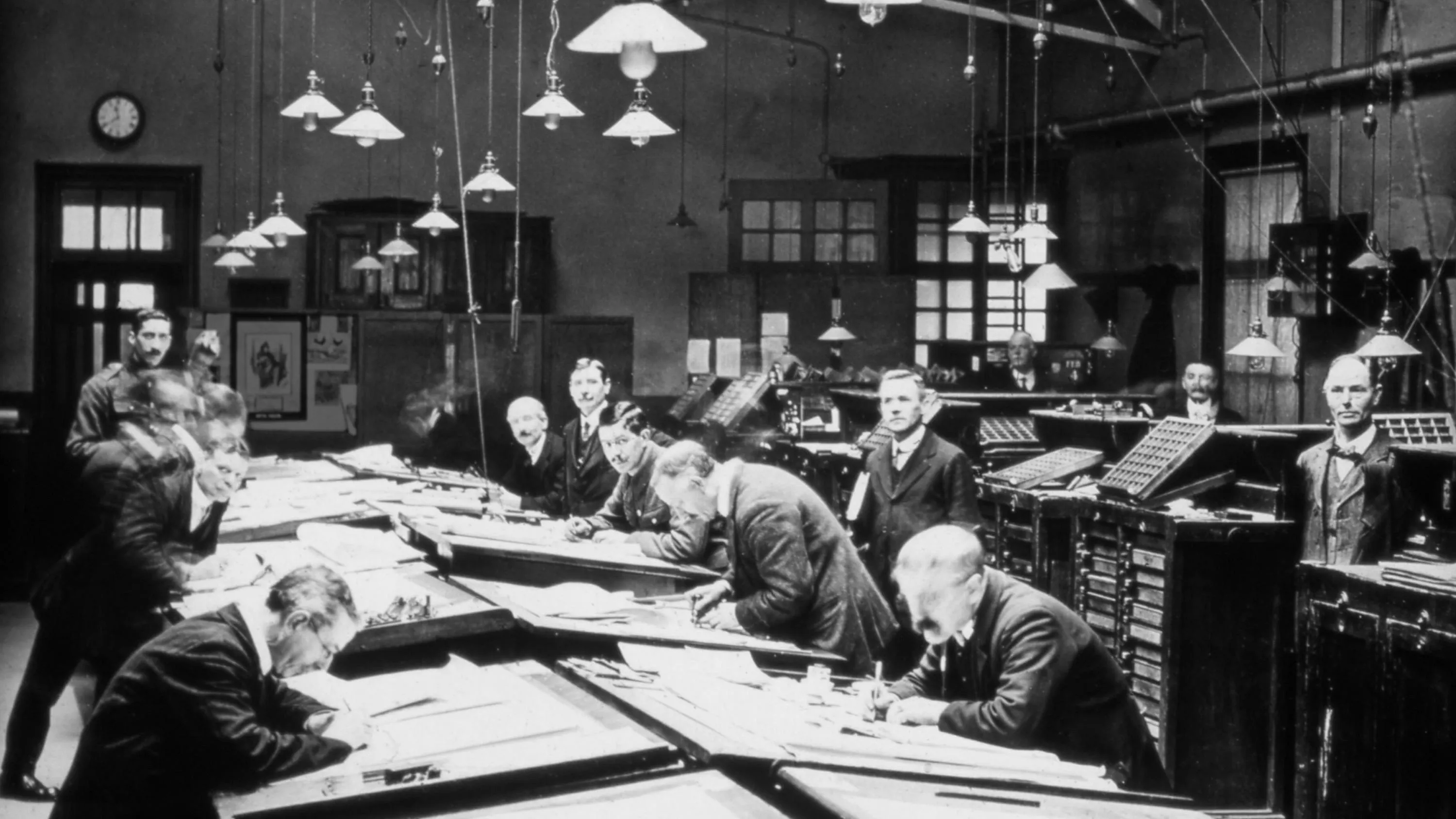
Learn the history of Ordnance Survey; beginning from the French Revolution through to the present day.
Our sustainability commitments
As an organisation we've put measures in place to make a positive impact on environmental sustainability.