The pressure on governments and businesses to take urgent action on climate and biodiversity is growing every day, but the solutions are complex to implement. Knowing where to act for maximum impact is challenging, and trust in the results is often lacking.

Sustainability solutions from OS
Supporting Net Zero and biodiversity initiatives with location intelligence
The role of location intelligence
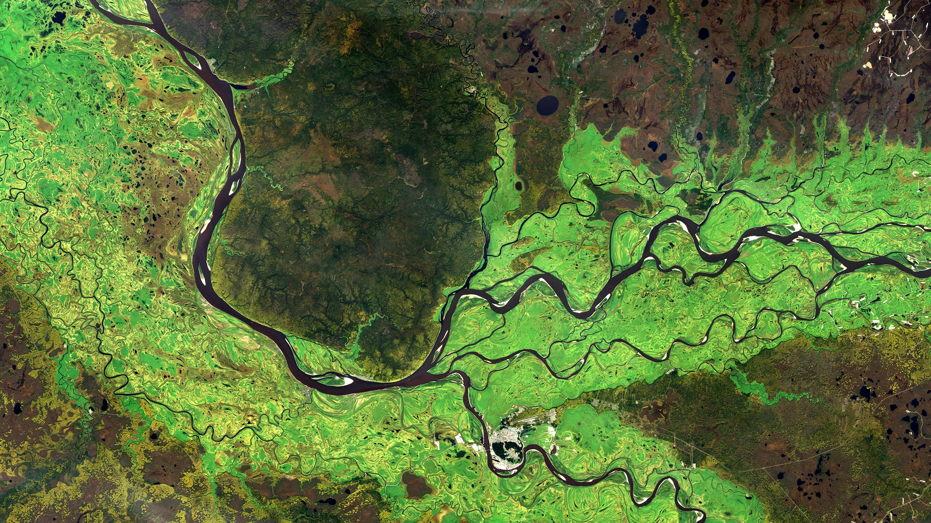
Location intelligence can help address fundamental challenges facing sustainability programmes. You can use location data to your advantage, to support the need to meet sustainability goals and Net Zero targets, by focusing location intelligence onto environment monitoring, supply chain management, planning energy assets, transport systems. Whatever your specific need might be, it needs to start with its place on the planet.
Our customers can analyse and monitor location to an incredible degree of accuracy, and work to improve the effectiveness of their environmental programmes. By combining data from satellites and ground surveys with accurate location data, you can unlock a clear picture of where to act.
Our services and location expertise can help turn vast volumes of data into actionable insight; while the authoritative nature of our data can help validate sustainability initiatives. You will have the basis for trusted, independent monitoring; using location intelligence to demonstrate that investments are working, providing evidence against greenwashing claims.
OS VeriEarth®
A new monitoring and verification service for nature-based restoration and carbon offsetting
OS VeriEarth® helps deliver clear visibility of nature-based restoration effectiveness, validating investments and helping protect against greenwashing claims.
Innovation and collaboration
Ordnance Survey is playing a leading role in supporting sustainability initiatives, through continuous innovation and collaboration with leading technology firms, to build cutting-edge solutions:
Supply Chain Data Partnership
Supply chains generate 60% of global emissions*, yet only 21% of companies have complete visibility into the sustainability of the products they source**
The Supply Chain Data Partnership is a collaboration between OS, multinational manufacturers, and technology providers. It will combine satellite and location data to build and maintain an international registry of certified supply chain assets – such as mills, refineries, transport terminals, and processing plants – in order to catalyse supply chain sustainability.
*Accenture
**SAP/Oxford Economics

Predicting water pollution
OS and technology firm CGI are collaborating to help predict water pollution events by combining AI analytics with satellite imagery, and highly accurate location data
Currently being piloted in North Devon, the objective is to accurately predict the conditions most often associated with pollution events, so that preventative measures can be put in place before any spillages or discharges occur.
Heat Mapping
Combining high resolution satellite heat imagery with highly accurate location data immediately exposes patterns in the data, and can pinpoint to a building level of accuracy where action needs to be taken
This insight could eventually be used to target the improvement of building insulation to prevent heat loss and energy waste, or to identify where enhanced green canopy cover or greenspace will reduce heat build-up in urban areas.


Contact us
Interested in how Ordnance Survey’s location expertise can help with your sustainability initiatives?
Let's talkRelated articles
Location intelligence for managing climate change
Discover how location is supporting environmental programmes.
Tracking environmental impact
Why it's essential to monitor and report on climate change with geospatial and earth observation data.