Fascinating patterns in Britain’s place names
OS Open Names Data
I’ve always been interested in place names, and in Britain we have a particularly good selection. While causing pronunciation problems sometimes, place names have a rich history and interesting geographic patterns. My first exploration of this was back in 2011 using open data from what was - at the time - called the OS Gazetteer, and plotting the locations of places called Newton, Newtown and New Town on the same map.
I remembered this recently and thought wouldn’t it’d be great if there was some sort of interactive way to explore place names on a map. I couldn’t find one, so I built one: the British Placename Mapper. This is a web app that allows you to search for parts of place names (for example, all names that start with Great, or end with burgh, or contain sea) and show the resulting places on an interactive map. If you have a play there are links to a few example sets of searches on the home page, and you can try searching for parts of the place where you live, or even your own name (I found there are more places with Wilson in the name than there are with Robin).
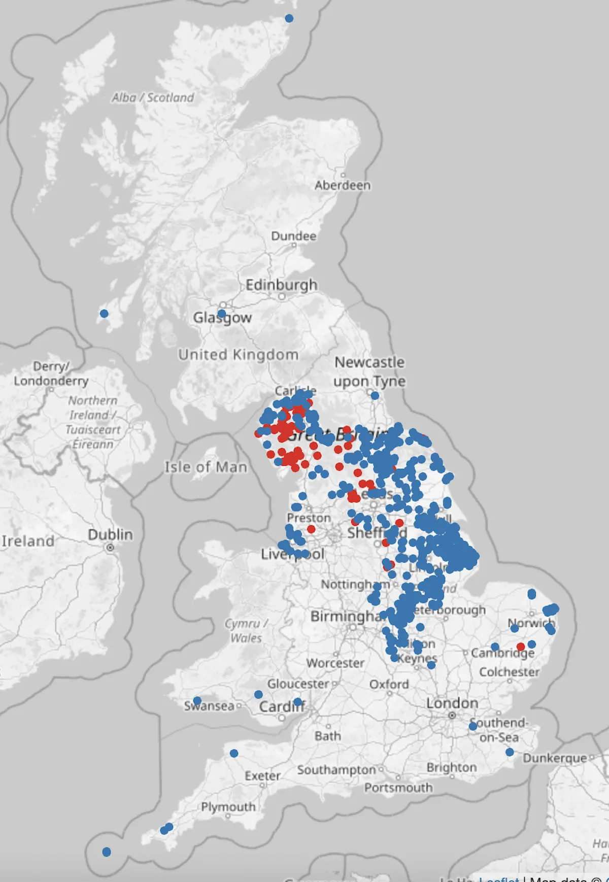
More interesting than just searching for your name, though, is finding some of the geographic patterns behind British place names. Britain has been invaded many times over the centuries - by the Vikings, the Normans, the Celts and more - and many of these influences can still be found in modern place names. For example, names ending in ‘thwaite’ and ‘by’ reflect Viking influence, and by looking at the map of these names you can see a very well-defined area that closely matches the Danelaw area.
There are other fascinating patterns too, like the different clusters of places containing higher and upper, the concentration of street in the south and east of England, and the concentration of places starting with tre in Cornwall and Wales.

Other parts of history are shown in names - for example, places containing fosse show the route of the Fosse Way, an old Roman road, very clearly. There are some other patterns that I don’t really understand. For example, there are places that end with ton across most of England and quite a lot of Scotland. However, Wales has almost no places ending with ton except for a few clusters in South Wales, and there is a big gap in a circle around London. There are places ending in ton in London, but not in an area roughly covering the inner part of the home counties (including the areas around places like St Albans, Reading, Farnborough, Royal Tunbridge Wells etc). If anyone can explain that for me then I’d be fascinated to hear from you.
The data behind this comes from the OS Open Names product, which is released as part of Ordnance Survey’s Open Data products. I filtered it to just contain the names of settlements (everything from hamlets to cities) and remove all of the other names (such as names of rivers, forests, roads and so on). This was then exported into a format suitable for the web app to use. Technically, the web app is very simple and all runs client-side (in the browser) using Javascript to search the list of names using regular expressions, and then display the resulting places on a Leaflet web map. It uses regular expression operators to implement the ‘starts with’ and ‘ends with’ functionality, but regular expressions are very capable, allowing you to produce a map of palindromes (names that read the same forwards and backwards) or places that start and end with the same letters (I particularly like Wigwig and Hethe).
I’d like to thank Ordnance Survey for providing a great open data resource, and to all the people who viewed and commented on this map online for suggestions of cool things to see. Please do leave comments with other interesting maps you have found - you can share a direct link to your sets of searches by clicking the ‘copy’ button at the bottom of the page.
About author:
Robin Wilson is a freelance geospatial software engineer and data scientist. He has a PhD in satellite imaging of air quality from the University of Southampton, and now works with clients of all sizes helping to solve their geographic problems. He is a regular user of Ordnance Survey datasets (both open and commercial). His website is at www.rtwilson.com and he blogs at www.blog.rtwilson.com. He is also the maintainer of the Free GIS Data site at www.freegisdata.rtwilson.com.

Our highly accurate geospatial data and printed maps help individuals, governments and companies to understand the world, both in Britain and overseas.
Find more blog articles
- Developers
- Government and public sector
- Great Britain
- United Kingdom