Faster responses
Getting there faster with the North Wales Cave Rescue team
But occasionally, things go awry.
People get injured, lost, or stuck, or wandering animals fall in, unable to get back out.
The North Wales Cave Rescue Organisation have used Ordnance Survey (OS) data from the OS National Geographic Database (OS NGD) to enable faster responses.

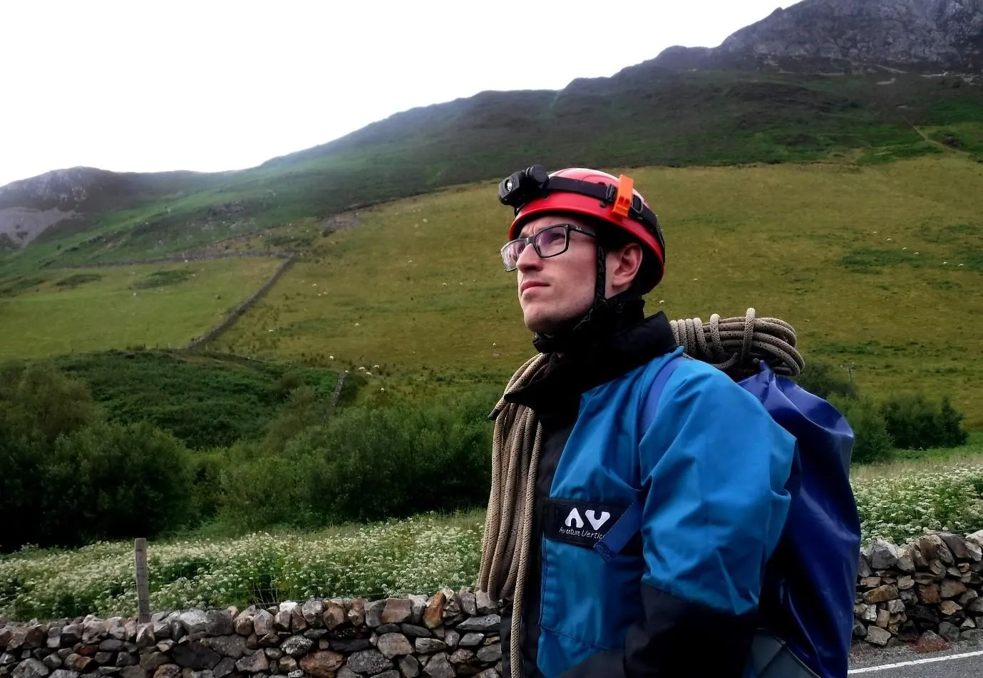
Passionate caver Edward Lockhart is a team member of the North Wales Cave Rescue Organisation, a search and rescue charity funded by donations, which supports anyone (or anything) in a spot of trouble underground within North Wales.
The team are all volunteer cavers and mine explorers who use their niche experience, equipment and skills, and in Edward’s case, geospatial expertise, to conduct search and rescue operations underground.
Edward explains that while underground incidents in North Wales are infrequent, typically less than 10 per year, search and rescue missions can be very complicated and lengthy to resolve because of the environmental, logistical, and physical challenges of being underground.
"Before this, nobody really knew where all of the underground entrances were, but now we know exactly. "
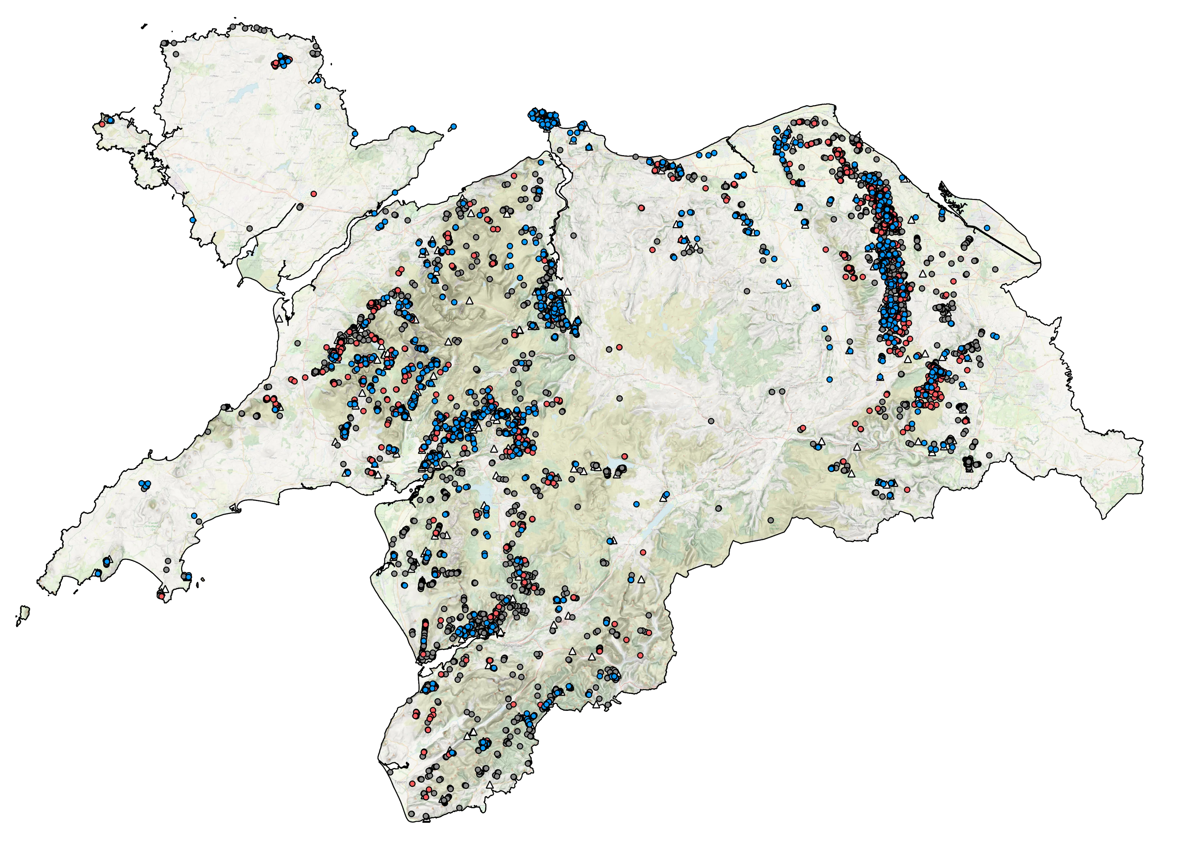
The North Wales Cave Rescue team covers a large response area of 6200 square kilometres, that is marked by a history of extensive mining which now mostly lies abandoned and undocumented. There was a clear opportunity and need to catalogue all of the potential locations where rescues may happen in the future.
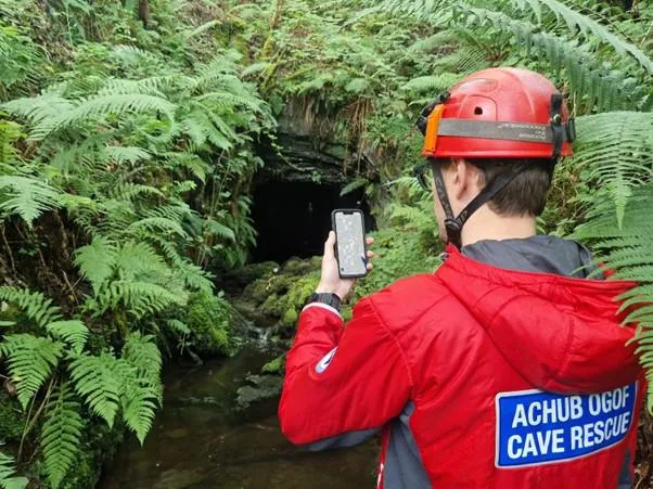
Over several years, Edward accurately mapped individual mine, cave, and tunnel entrances, producing the most comprehensive record of underground locations in North Wales. In addition to entrances, the spatial catalogue also contains appropriate rendezvous points and automatically-generated information on nearby road access and mobile phone signal coverage - all available online for team members coordinating incidents from home, or offline for those deployed in the field. This spatial catalogue represents a valuable incident response planning tool, and also lets team members easily navigate to these often remote and hard-to-find locations.

"To do this manually in the field would be absolutely impossible, even with an army of people - only by using geospatial datasets has a project of this scale been possible. "
The accurate mapping of entrances was made possible through the use of airborne Light Detection and Ranging (LiDAR) data. This geospatial dataset is collected by firing lasers at the ground from an aircraft, capturing the shape of the landscape in great detail, even in areas of dense forest and vegetation. LiDAR data collected by the Welsh government allowed Edward to locate entrance features that were previously hidden and missing from both historical and modern records.

Ordnance Survey datasets such as the OS NGD, digitised historic maps (georeferenced by The National Library of Scotland) and Scale Colour Raster maps provided essential context when interpreting the LiDAR landscape to help identify entrances. Rendezvous points were enriched with vehicular access information using OS Open Roads, and OS Code-Point Open was used with Ofcom’s Mobile Coverage API to populate mobile phone coverage based on the nearest postcode.
All of the benefits seen by the North Wales Cave Rescue Organisation, including a richer understanding of site locations, access, and aided navigation, mean they can now give those needing help underground, even faster responses.
What is the OS NGD?
The OS NGD is a single store of all Ordnance Survey’s authoritative data for Great Britain. The OS NGD delivers the richer data you need for better analysis and our download service, OS Select+Build, makes it easier to find, package and analyse the data you need, such as address and building data for emergency planning.

Our highly accurate geospatial data and printed maps help individuals, governments and companies to understand the world, both in Britain and overseas.