Serious about walking? Try taking on Richard’s Ramble
Some walkers are cut from a different cloth. Enjoying a weekend hike, a spot of trig-bagging, or even scaling three peaks in a weekend is nowhere near enough. They prefer a custom-made challenge.
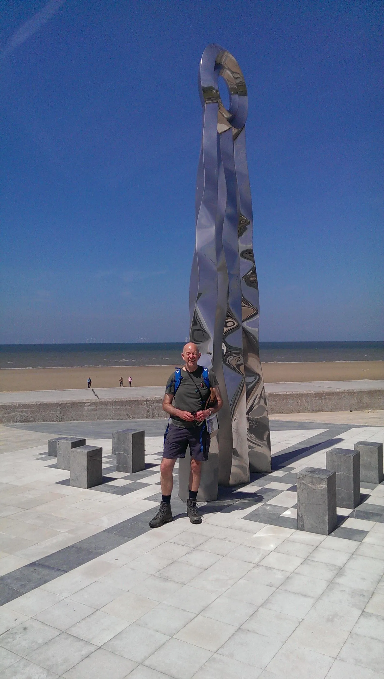
Richard Green is one such walker who follows his own path. The 67-year-old from Altrincham in Greater Manchester has lived life to the full and adventured all over the world. Yet a deep love of Britain’s countryside brought about in him a monster walking challenge of his own creation.

An accountant by profession – “but not by personality” – Richard settled back in England to start a family after five years away in Solomon Islands and Australia. In 2005 he found himself with a spare couple of weeks and on impulse decided to walk the Wainwright’s Coast to Coast long distance path from St Bee’s in Cumbria to Robin’s Hood Bay in North Yorkshire.
Buoyed by that success, he then walked the Ridgeway from Avebury in Wiltshire to Ivinghoe Beacon in Buckinghamshire across Southern England.
Not long after that Richard headed west and trekked the length of Offa’s Dyke from Chepstow to Prestatyn. Marking all this off on his OS Map, he realised he had three sides to a rectangle, so ventured east to walk the Yorkshire Wolds Way, part of the Cleveland Way and then the Viking Way. These paths, north from the Humber Bridge to Robin Hood’s Bay and south down to Oakham in Rutland finished the pattern.
Still not satisfied, Richard came up with an idea to fill in each of the corners of the shape to create what would become his own stand-alone continuous route.
Richard said: “I thought wouldn’t it be great to join that up to walk around the whole rectangle uninterrupted.
“Armed with my OS paper maps and the OS Maps App I started to try to work out how to get from Avebury Stone Circle across to Chepstow (Ridgeway to Offa’s Dyke).
“That made an interesting walk through the Cotswolds - there were lots and lots of obstructions. Farmers had blocked pathways and there were lots of overgrown paths. That’s where the OS Maps App became invaluable in trying to work out exactly where the paths were going.
“Then I joined up the eastern end of the Ridgeway with the southern end of the Viking Way using a walk through Bedfordshire, again using OS Maps to work out the most scenic route.
“I was then left with the stretch from Prestatyn in North Wales up to St Bees Head in Cumbria. I put together a route combining semi-known walks on the Welsh coastal path and the Lancashire Coastal Way and Cumbria Coastal Way.”
He added: “I did it because I love planning walks. I get as much out of the planning as I do out of the execution of them. It took me 77 days to complete all that. I can honestly say there were no more than three miles of the entire 1,228 mile walk that weren’t anything other than spectacularly beautiful, which says an awful lot for the place we live in.
“Anybody with a reasonable level of fitness and is a keen walker can accomplish this. There is no mountaineering or particularly difficult stretches. The hardest walking was on Offa’s Dyke which has some very steep sections on it.”
The biggest obstacles Richard faced away from long-distance paths were unfriendly animals in fields, and the state of some public rights of way. He felt Britain could be in great danger of losing some terrific footpaths around the country because nobody uses them, and in a minority of cases landowners had actively blocked them to stop people getting on the land. Other times signposts led him through fields of crops where farmers had chosen to plough over a right of way.
Richard said: “Underuse of footpaths have often led to them being totally overgrown. On occasion I had to arm myself with a stick to beat the path down through nettles and brambles to try to get to where I��’d need to get to. It is a little dispiriting when you see that because it shows the local council is not keeping on top of their footpaths and it also means that local people aren’t using the amenity that is going to be lost forever if we don’t keep walking on these things.
“There were some occasions where despite following public rights of way I found myself completely and utterly cut off by roads or thick hedgerows or barbed wire fences. In one instance I was trapped in a little paddock. I’d got in there by a long circuitous walk to avoid a very busy four lane highway, the footpath was supposed to go underneath the entire highway but someone had completely blocked the tunnel. I had to dash across the highway, climb down through some brambles and crawl through a badger hole underneath the hedge to get out of the paddock to the pub where I was staying for the night.
"The looks you get when you front up at the bar after being cut to glory and literally appear like you’ve been dragged through a hedge backwards are quite something."
Despite these challenges, Richard has made his route publicly available by creating his own website Richard’s Ramble.
Every section of the route is laid out in detail as an inspiration to fellow walkers who fancy following in his footsteps.

Richard added: “I would suggest start with one of the recognised long-distance paths because they are relatively well sign-posted, you can buy guide books for them, and they are well marked on OS Maps. I just never tire of looking at Ordnance Survey maps and the move online has added so much more, particularly the ability to know exactly where you are and where a public right of way goes.
“Anybody who’s a regular walker should be able to do the bits I’ve put together as well. I can guarantee every one of those 77 days will provide you with a fantastic walk or two.
If I can get one person to do all of this walk that would be fantastic. If I can get a hundred people to do bits of it, I’d be made-up too.”

Our highly accurate geospatial data and printed maps help individuals, governments and companies to understand the world, both in Britain and overseas.
Find more blog articles
- Leisure
- General public
- Consumer
- Great Britain
- United Kingdom