Blog
Read location data and geography related stories and commentary
Filters (1)
Page 1
How the British Army use OS NGD API - Features for battlefield training
High fidelity mapping from the OS National Geospatial Database creates immersive battlefield simulations, which are key to army training.
- Blog
How accurate data is delivering for Hiscox Insurance
Accurate OS location data bringing efficiencies for Hiscox Insurance customers
- Blog
Navigation tips and advice from Mountain Rescue
Mountain Rescue offer some tips and advice as part of National Map Reading Week to keep walkers safe when venturing out on hilltops and mountains.
- Blog
Supporting emergency services delivering events
Read how Ordnance Survey geospatial data has helped emergency services in the planning and delivery stages of heavily-attended, national events.
- Blog
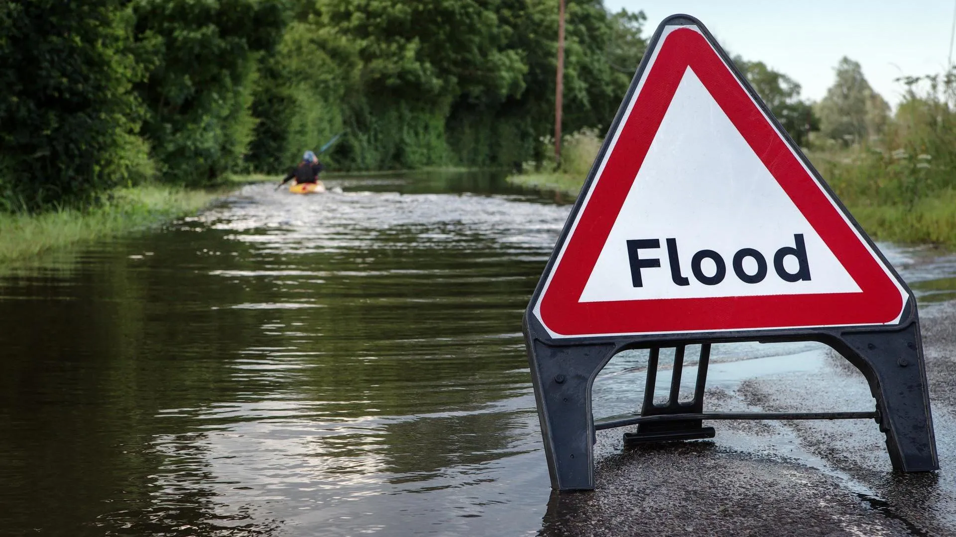
OS urge people to stay safe
Following reports of a surge in avoidable callouts by Mountain Rescue, we're urging people to be mindful and prepared when adventuring outdoors.
- Blog
Analysing access to greenspaces during a pandemic
Office for National Statistics report shows that one in eight GB households has no access to a private or shared garden during the Covid-19 lockdown.
- Blog
Volunteering with MapAction
MapAction is an international disaster mapping charity that has received long term support from OS. OS employee Steve Hurst shares his experience.
- Blog