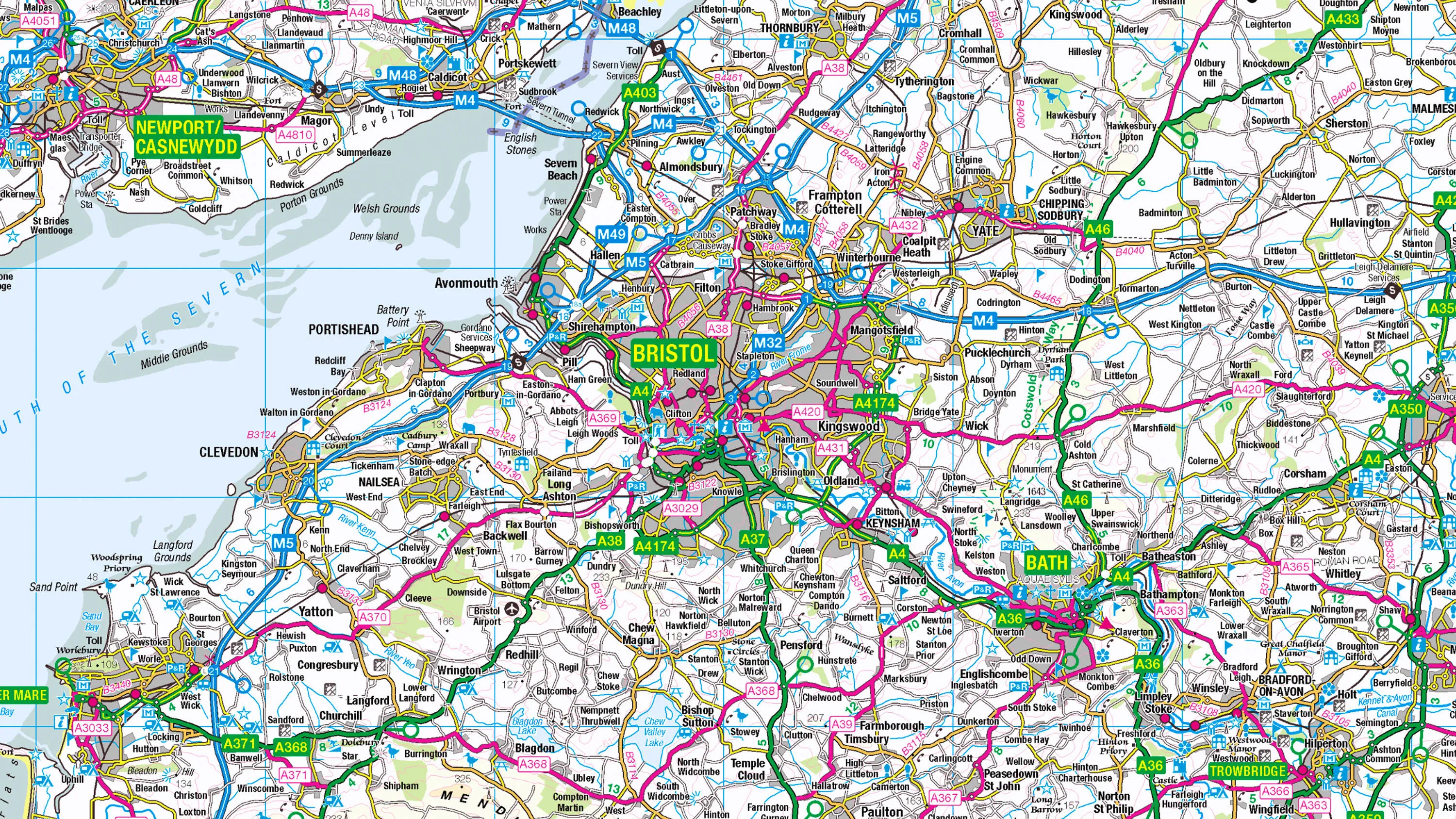
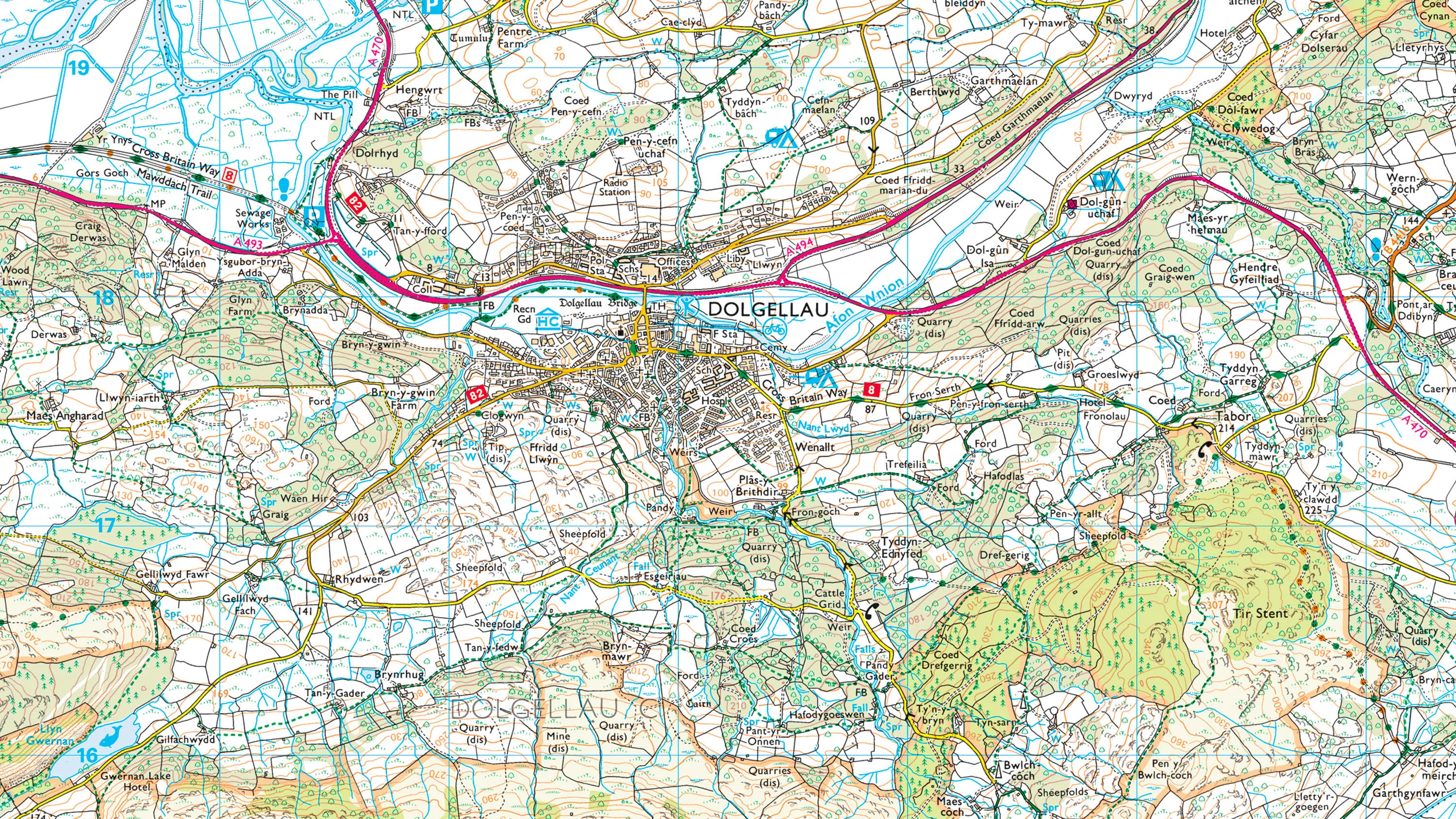
1:50 000 Scale Colour Raster
Try this product with free sample data
Download a small area of 1:50 000 Scale Colour Raster. Or try out the real thing by applying for a Data Exploration Licence.
What 1:50 000 Scale Colour Raster provides you with
Used for emergency services
1:50 000 Scale Colour Raster helps emergency control centre staff respond more effectively to calls. Using clearly shown landmarks, they can ask distressed callers if they can see the local pub or church, to pinpoint incident locations quickly.
High resolution
We give you 1:50 000 Scale Colour Raster at a resolution of 254 dpi – and Partners at a staggering 660 dpi – so it looks stunning on today’s high-resolution displays, whether on desktop, tablet or mobile.
Plenty of places to visit
Tourist and heritage attractions of many types are shown on this mapping, so leisure app users can use it to find their way by road, footpath or cycle route to a place of interest, whether it’s a sports centre or a nature reserve.
Ideal for desktop publishing
When you need map extracts for a consultation document or a published magazine, you can open 1:50 000 Scale Colour Raster TIFF files in software like Photoshop and InDesign.
Use cases
- Helps local planners identify brownfield sites ripe for development, analysing the quality of local transport links.
- A must-have map, containing detail and clarity, for navigation apps or devices for walkers and cyclists.
Related products
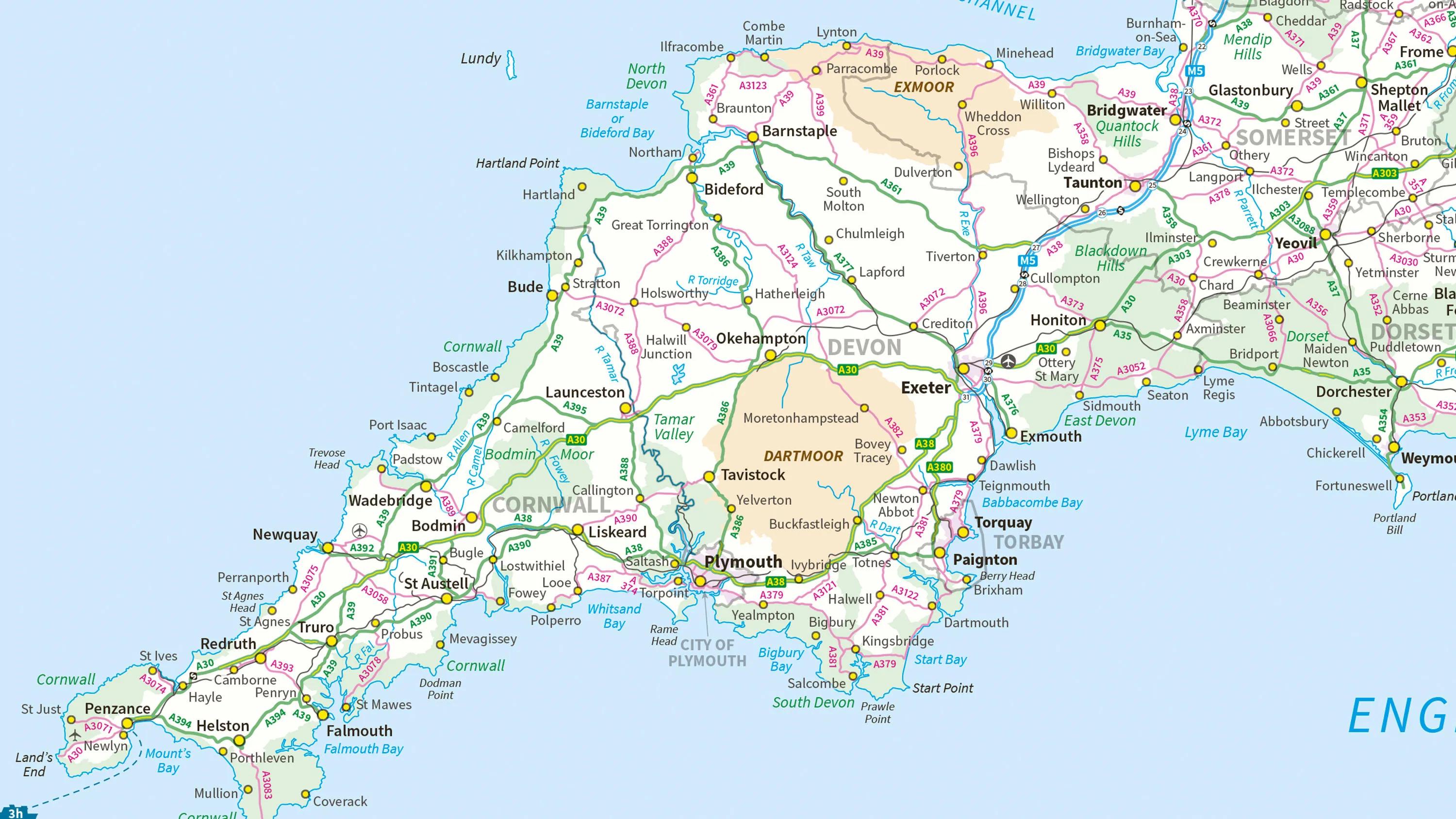
1:250 000 Scale Colour Raster
1:250 000 Scale Colour Raster is an open dataset of the regional view of towns and villages, roads and places of interest.
1:25 000 Scale Colour Raster
1:25 000 Scale Colour Raster is the digital alternative to Ordnance Survey's OS Explorer paper map series for Great Britain.
MiniScale
Ordnance Survey's MiniScale is an open national backdrop map of Great Britain.