Ideal for 3D visualisations
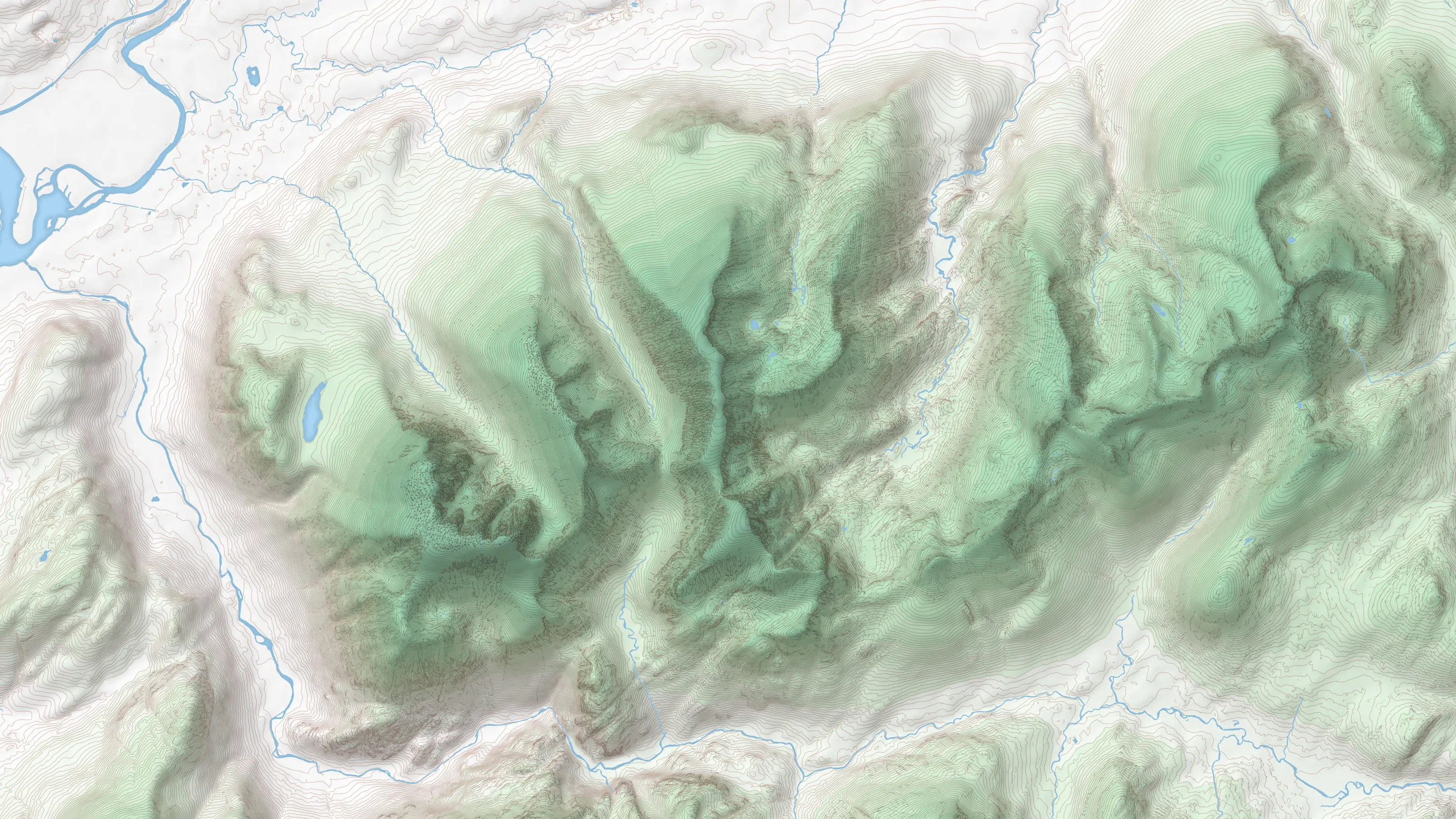
OS Terrain 5 is ideal for 3D visualisations. It models significant landscape features including roads, railways, slopes, quarries and lakes, and offers a typical accuracy level greater than 2m RMSE.
Download a small area of OS Terrain 5. Or try out the real thing by applying for a Data Exploration Licence.
OS Terrain 5 is ideal for 3D visualisations. It models significant landscape features including roads, railways, slopes, quarries and lakes, and offers a typical accuracy level greater than 2m RMSE.
OS Terrain 5 is the height data you need to model construction projects within the wider landscape. This helps you give planners an accurate virtual view of your plans and the steps you’re taking to minimise their visual impact on the surrounding area.
You can quickly understand the impact of flash floods on roads, homes and other major infrastructure. You're able to assess the lie of the land on-screen, reducing the need for time-consuming site visits.
OS Terrain 50 is an open height dataset of contours with spot heights, breaklines, coastline, lakes, ridges and formlines for Great Britain.
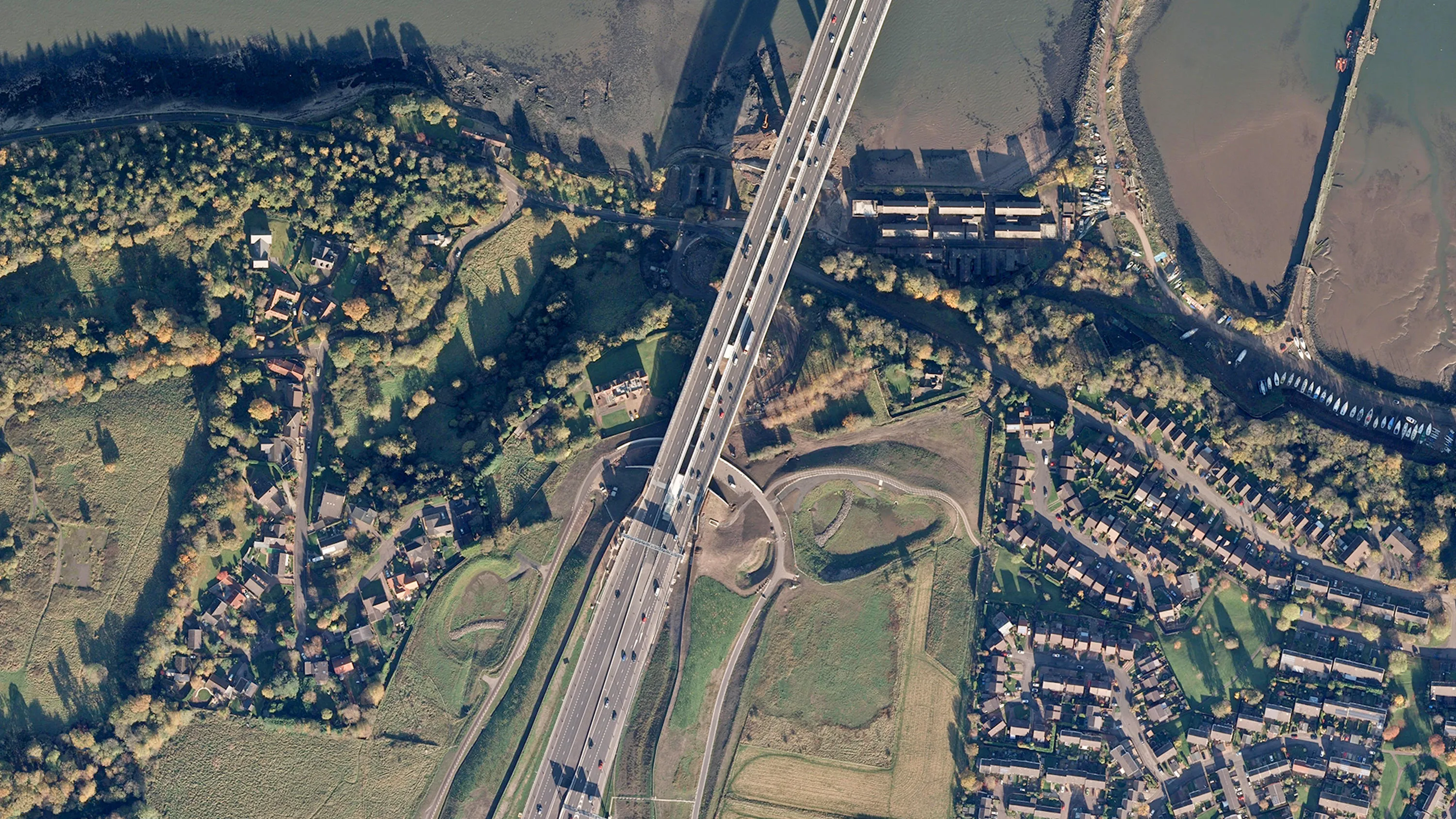
Digital colour-balanced and corrected for geometric distortions (orthorectified) aerial photography for Great Britain.
OS 3D Mesh is a product providing a photorealistic 3D representation of the surface of the Earth and features above it, such as buildings, roads, and vegetation.