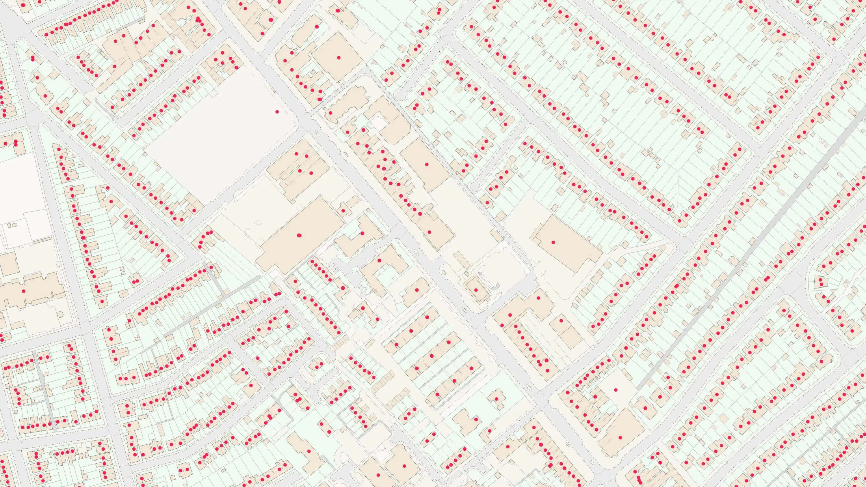
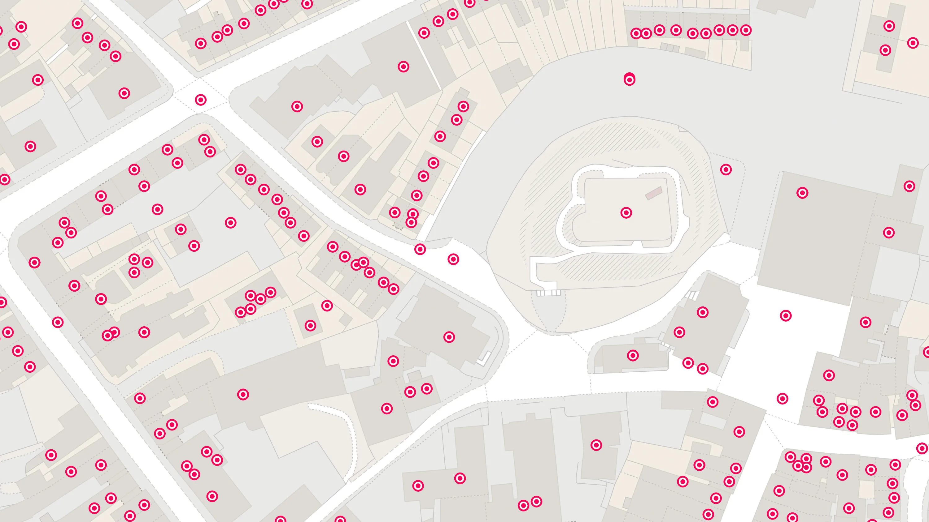
All four products are derived from a single database which captures data from multiple authoritative address sources. The source data is collated, verified and quality assured by GeoPlace. Each product has a different level of content:
AddressBase contains Royal Mail PAF addresses (27.2 million) both commercial and residential matched to the local authority Unique Property Reference Number and structured in a flat file model. This allows users to link additional information about a property to a single address. It also provides an enhancement to the Royal Mail PAF data by assigning an X and Y coordinate to every address.
AddressBase Core contains current properties primarily sourced from local authorities and supplemented with Royal Mail information where matched to the UPRN. The file is structured in a flat file model. It has more records than AddressBase but not as many as AddressBase Plus as it does not include objects without postal addresses (OWPAs) such as ponds and electricity sub-stations. Each record has X and Y coordinates as well as classification up to a secondary level. Identifiers to OS MasterMap Topography Layer Topographic Identifiers (TOIDs), OS MasterMap Highways Layer Unique Street Reference Number (USRN), Royal Mail Unique Delivery Point Reference Number and ONS Government Statistical Services (GSS) codes are given to create links to other OS and third party products.
AddressBase Plus contains current properties and addresses sourced from local authorities, Ordnance Survey and Royal Mail are matched to the UPRN and structured in a flat file model. It has more records than AddressBase as it includes objects without postal addresses (OWPAs), such as subdivided properties, places of worship and community centres. It also enables the end user to locate an address or property on a map, through the assigned x and y coordinates, but crucially cross referencing the information with OS MasterMap products via the OS MasterMap Topography Layer and OS MasterMap Highways Layer Topographic Identifiers (TOIDs) allows the address data to be viewed within a wider geographic context.
The address information is sourced from 380 local authorities Land and Property Gazetteers, Ordnance Survey’s large-scale mapping, Royal Mail’s Postcode Address File (PAF) and the Valuation Office Agency.
AddressBase Premium provides the most detailed view of an address and its lifecycle. It has more records than AddressBase Plus as it provides a range of information relating to an address or property from creation to retirement. It contains local authority, Ordnance Survey and Royal Mail addresses structured in a relational database model. The product is based around the UPRN, with current (approved) addresses; and alternative addresses for current properties (reflecting the changes in address and the address life cycle); provisional properties / addresses (proposed planning developments) and historic information for properties (including historic alternative addresses) where available.
Addresses for Objects Without Postal Addresses (OWPAs), e.g. electricity sub-stations / advertising hoardings are also included.
Because it is a relational model, an application cross reference table gives the user links to other data sources e.g., OS MasterMap TOIDS, Valuation Office Agency Council Tax and Non-Domestic Rate references.