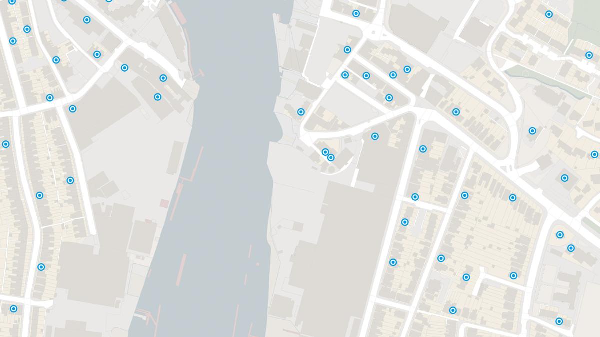
Visualise your postcode extents
Code-Point with Polygons provides notional extents for every postcode unit in GB for easy visualisation and analysis at a national scale.
Download a small area of Code-Point with Polygons.
Code-Point with Polygons provides notional extents for every postcode unit in GB for easy visualisation and analysis at a national scale.
Vertical street polygons allow easy identification of multiple postcodes within the same building.
Postcode polygons created using the addresses we can locate the most precisely creating high confidence in the accuracy of the polygon data.
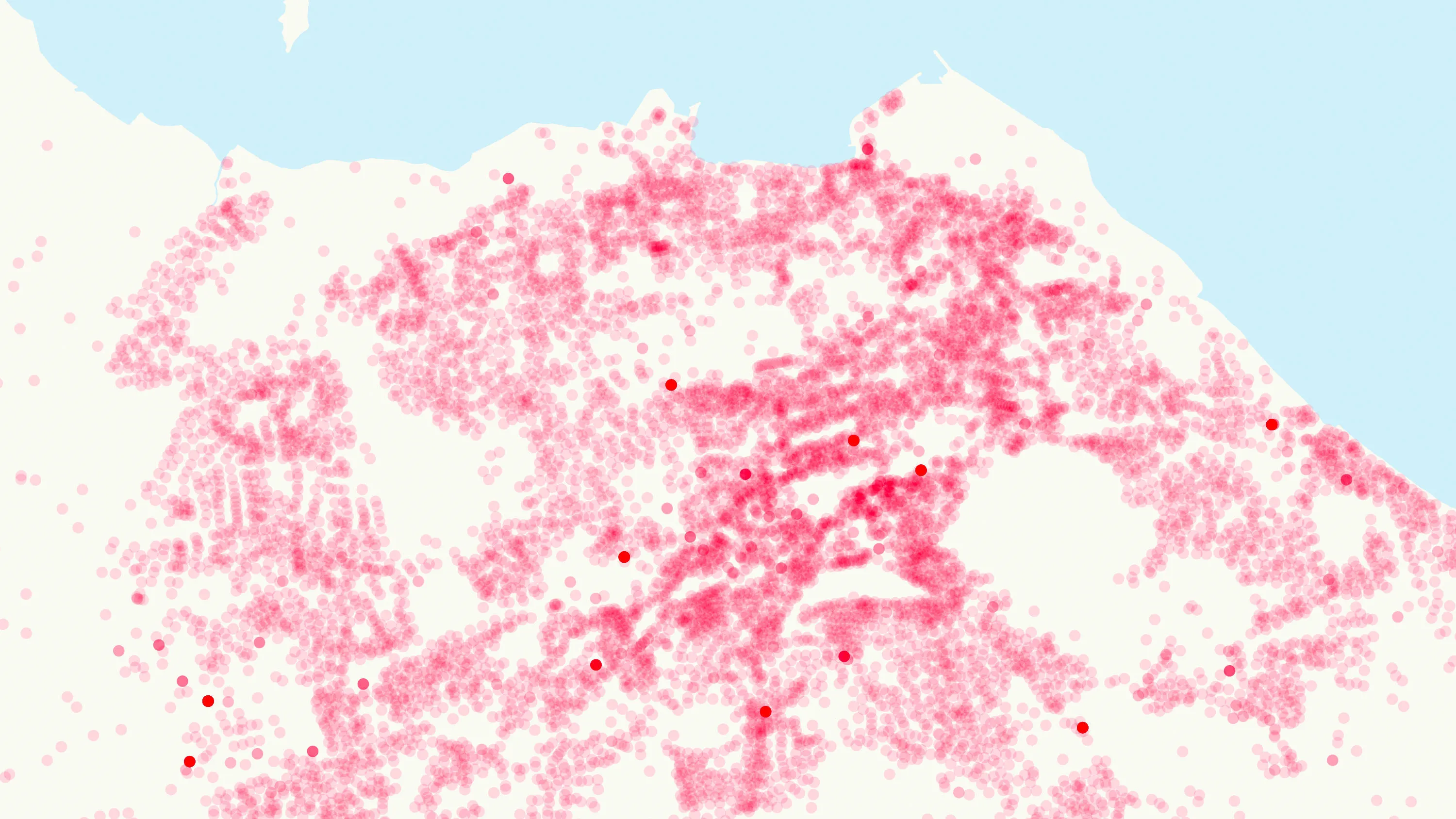
CSV files covering the 121 postcode areas of the United Kingdom as point data, when taking ESRI Shapefile, MapInfo MID/MIF, MapInfo TAB or Vector Tiles.
Code-Point® is a postcode locator with postcode units in Great Britain and Northern Ireland.
Ordnance Survey's Code-Point Open is an open dataset of all the current postcode units in Great Britain.
A complete address data collection for Great Britain, including UPRNs, property classification, postal status, and construction status.