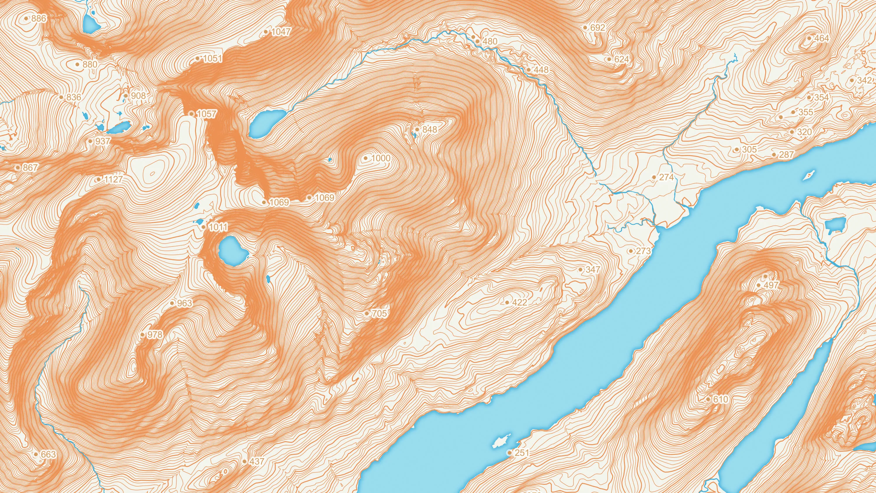
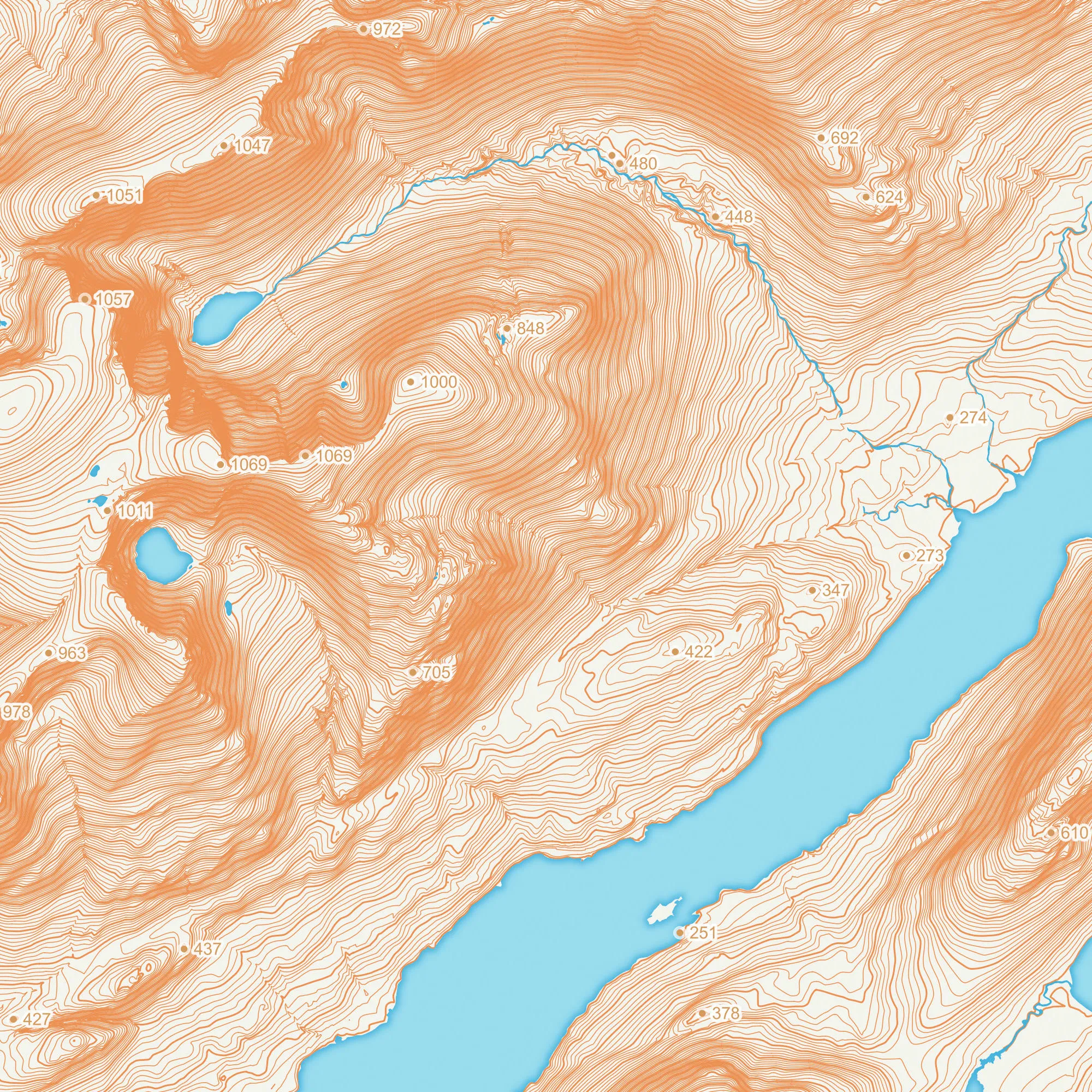
Ideal for 3D visualisations
OS Terrain 5 is ideal for 3D visualisations. It models significant landscape features including roads, railways, slopes, quarries and lakes, and offers a typical accuracy level greater than 2m RMSE.
OS Terrain® 5 is our detailed digital terrain model (DTM) of Great Britain. It is available as a grid of heighted points and contours, both at five-metre intervals.
This product is updated every three months


OS Terrain 5 is ideal for 3D visualisations. It models significant landscape features including roads, railways, slopes, quarries and lakes, and offers a typical accuracy level greater than 2m RMSE.
OS Terrain 5 is the height data you need to model construction projects within the wider landscape. This helps you give planners an accurate virtual view of your plans and the steps you’re taking to minimise their visual impact on the surrounding area.
You can quickly understand the impact of flash floods on roads, homes and other major infrastructure. You're able to assess the lie of the land on-screen, reducing the need for time-consuming site visits.
OS Terrain 5 helps you analyse wind speed and signal propagation. This is important when siting wind turbines, best located in exposed upland areas to maximise their power output, and mobile phone masts, which serve ever more data-hungry users.
Download a small area of OS Terrain 5. Or try out the real thing by applying for a Data Exploration Licence.
Technical information
Get this product
Download a small area of OS Terrain 5. Or try out the real thing by applying for a Data Exploration Licence.
Ordnance Survey's commercial network of Partners can help you with bespoke location solutions, derived from OS data
Ranging from global giants to single entrepreneurs, our Partners all use our location data to create innovative products and services. Their expertise ensures customers can benefit from using our data for a range of services. Find a partner for height and imagery mapping requirements.
Ready to get started with our data and APIs?
Choose your plan and create your account. Take the next step by signing up to the OS Data Hub and create your first project today.
Download Premium data from the OS Data Hub
If you're an OS Licensed Partner you can use the OS Data Hub to access OS data products and manage your account all in one place.
Contact one of our OS Licensed Partners to access this data product
Our network of Ordnance Survey's Licensed Partners can help you to find the right solution for your geospatial needs. Find a partner for height and imagery mapping requirements.

Get this product
For further help about how our data can transform your organisation, contact us today
Contact us