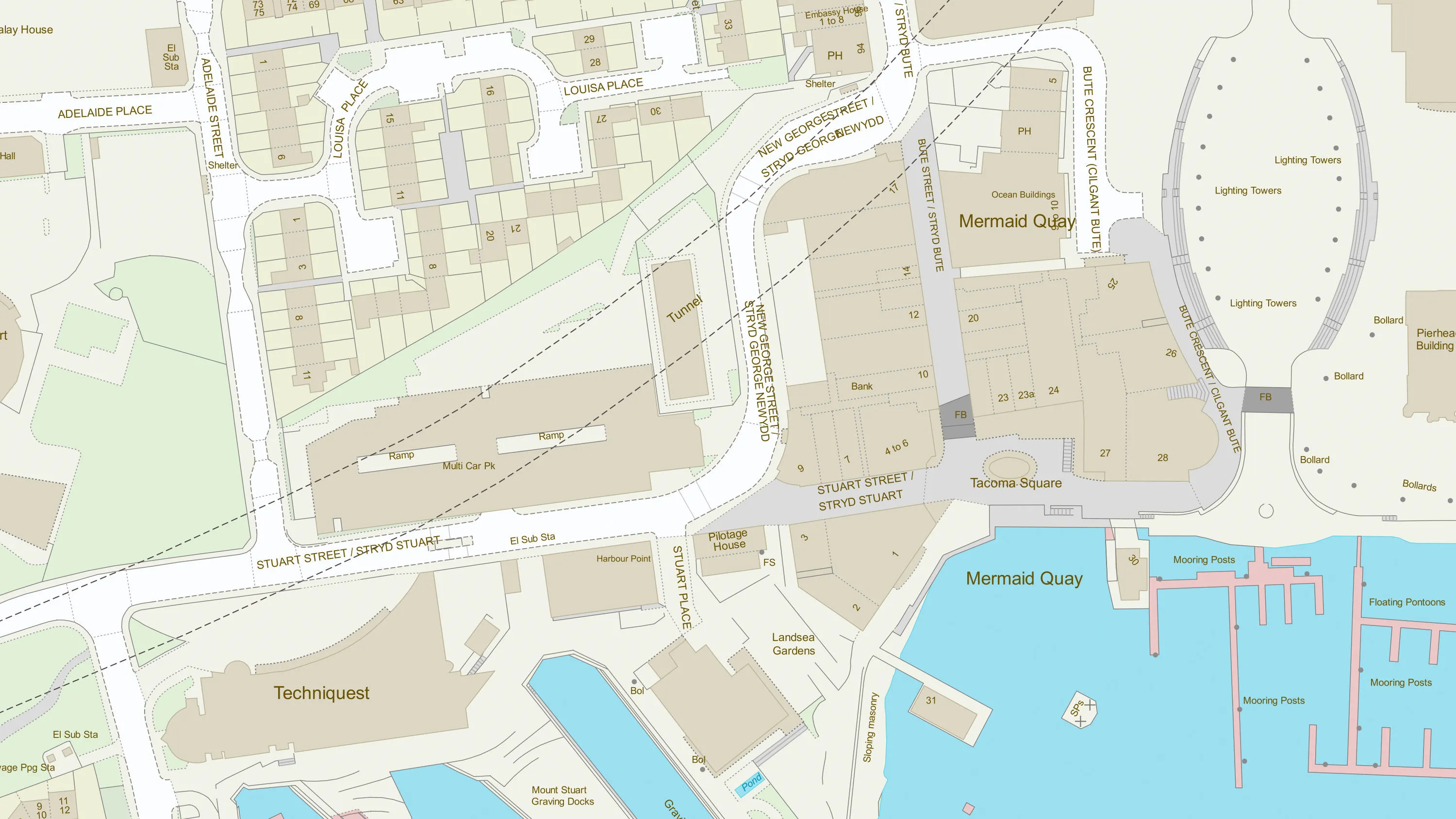
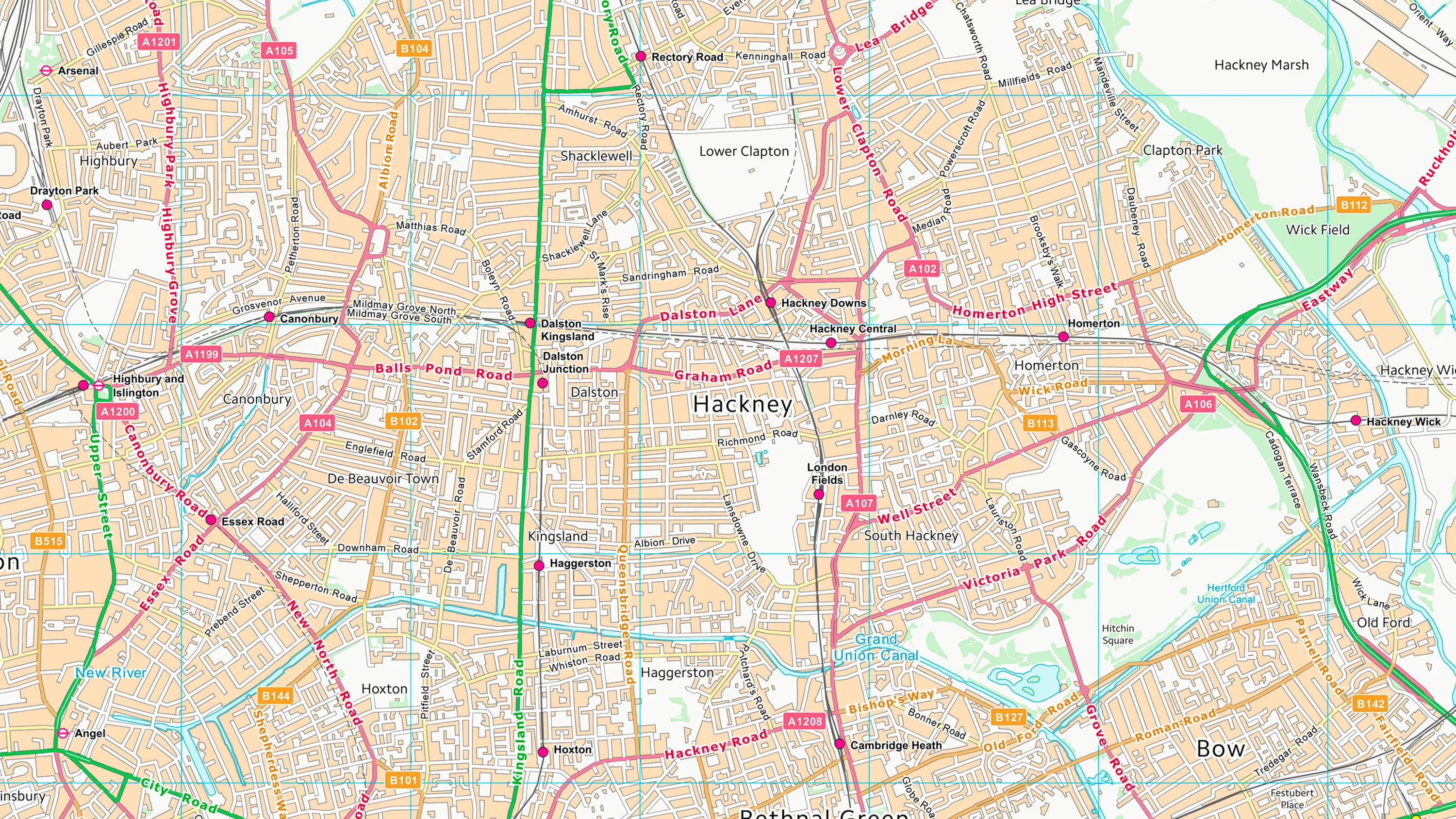
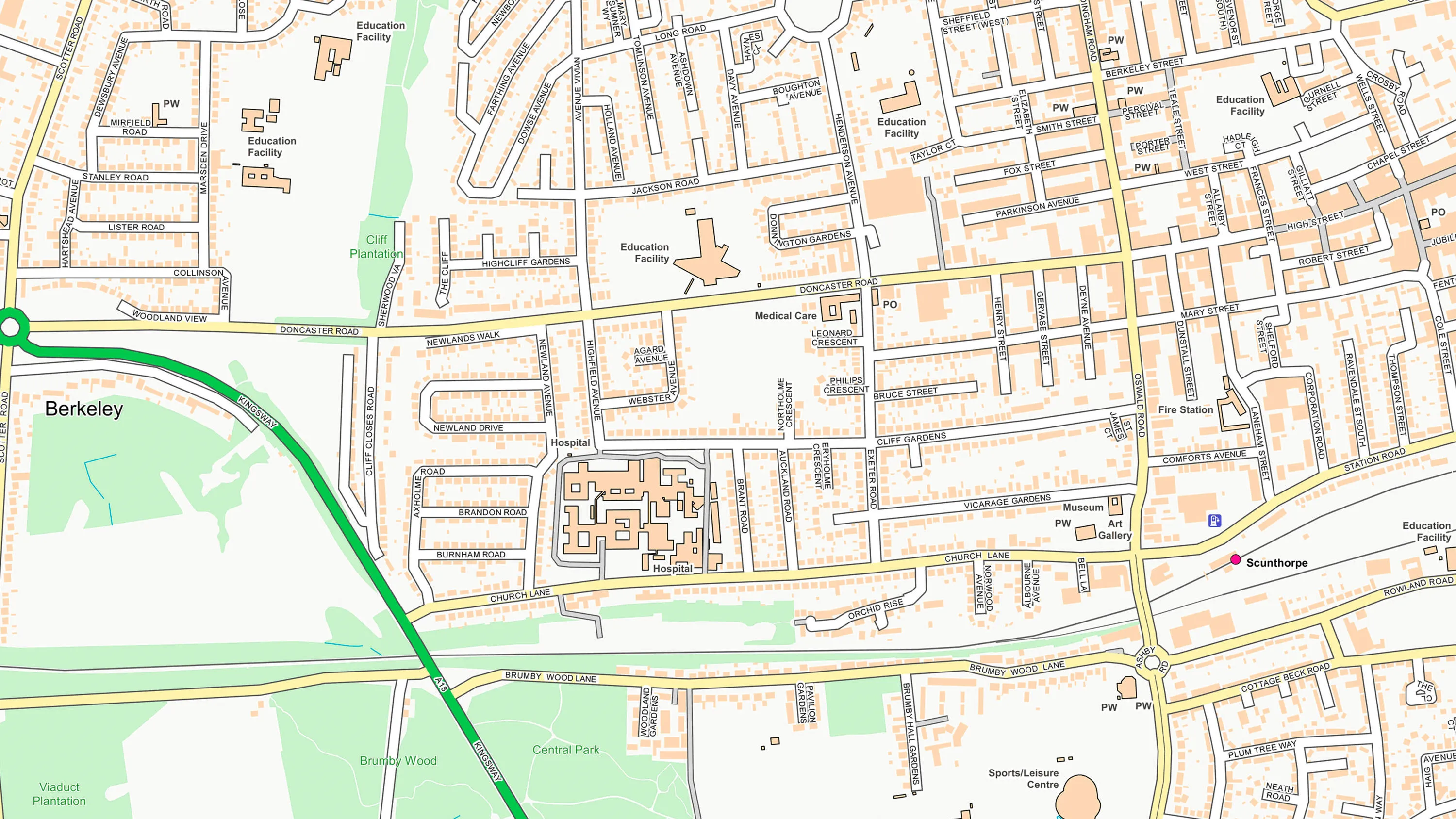
OS VectorMap Local
What OS VectorMap Local provides you with
Detailed attributes
Rich feature attributes support in-depth analysis.
Colour options
Prebuilt colour options are available for both vector and raster formats.
Customisable
Vector data formats are fully customisable. You can design your basemap to perfectly suit your needs.
Accurate and reliable
OS VectorMap Local is generated automatically from our large-scale database, meaning that it is both current and consistent.
Use cases
- Create custom basemaps highlighting specific features, such as roads, buildings and greenspaces, ideal for urban planning, development and environmental monitoring.
- Scaled at a 1:10 000, VectorMap Local is suitable active travel infrastructure and school travel assessments.
- Enables land cover analysis and habitat classification.
Related products
OS MasterMap Topography Layer
OS MasterMap Topography layer provides a map dataset of Great Britain's landscape – from roads to fields, to buildings and trees, fences, paths and more.
OS VectorMap District
OS VectorMap District is an open basemap to overlay and visualise your own information on.
OS OpenMap – Local
OS OpenMap Local is an open dataset of detailed, street-level mapping of Great Britain.