Case studies

Discover how Ordnance Survey data is driving more efficient decisions in organisations like yours

Found 40 results

Page 1

  • Mapping at the Met Police

    Mapping at the Met Police

    Mapping at the Met Police

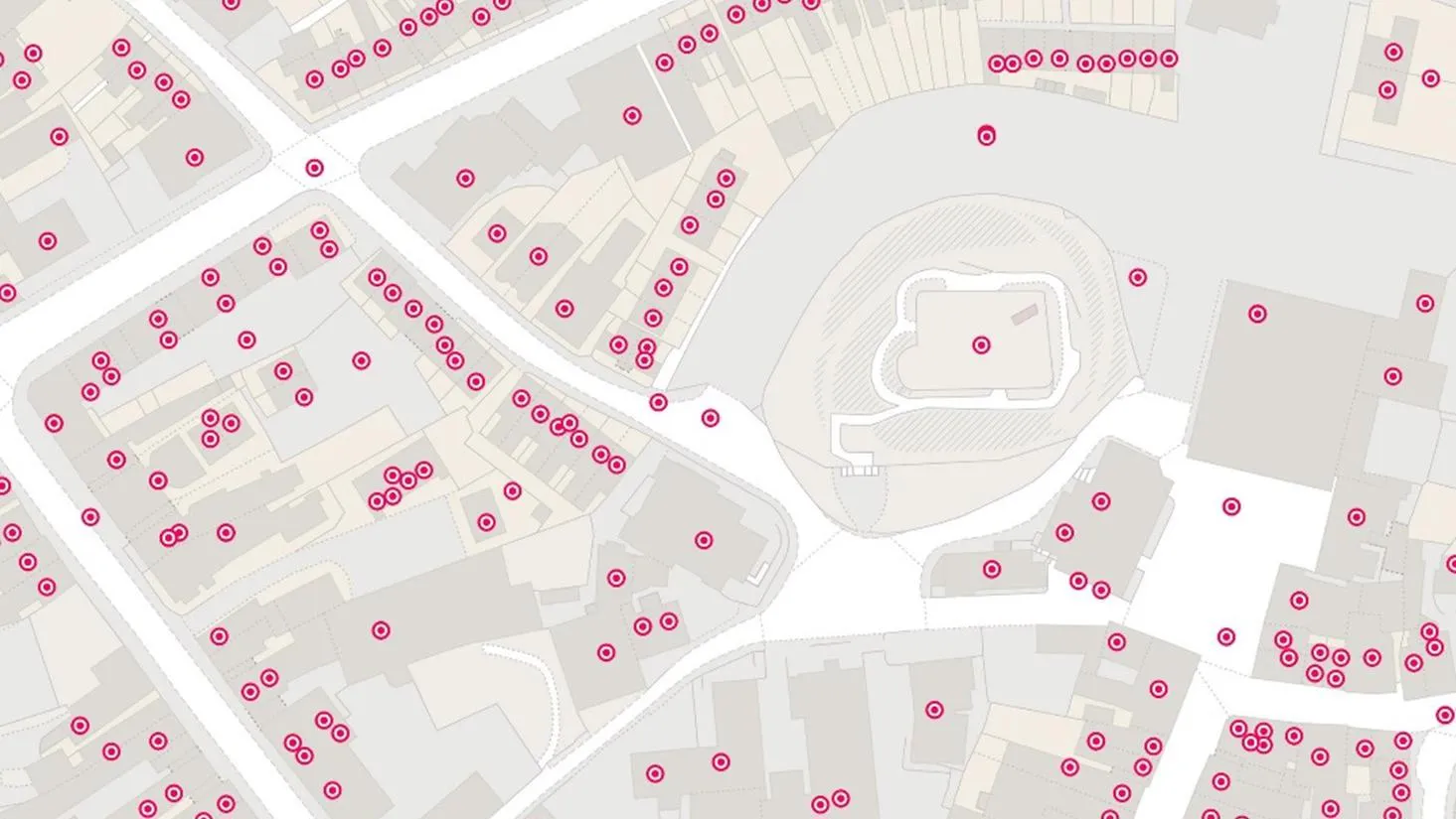
    The Metropolitan Police is the UK’s largest police force. It polices 620 square miles and serves more than eight million people across one of the world’s most dynamic and diverse cities.

    Part of its mission is to seize the opportunities of data and digital technology. To help a...
  • How the British Army use mapping APIs for battlefield training

    How the British Army use mapping APIs for battlefield training

    How the British Army use mapping APIs for battlefield training

    The British Army is using Ordnance Survey mapping data to create training scenarios, and provide soldiers with accurate and realistic experiences.

  • Proactive customer service with quality addressing data

    Proactive customer service with quality addressing data

    Proactive customer service with quality addressing data

    Ordnance Survey helped to enable a master source of address information to be collated into a central hub that Scottish Water, their partners, and agencies, can use to seamlessly manage the lifecycle of an address.

  • How mapping supports police work

    How mapping supports police work

    How mapping supports police work

    Discover how Cleveland Police deals with geographic issues and understands its communities better, by using Ordnance Survey location data to meet challenges and respond to emerging issues.

  • How location data helped the Department for Levelling Up Housing and Communities create new urban green spaces

    How location data helped the Department for Levelling Up Housing and Communities create new urban green spaces

    How location data helped the Department for Levelling Up Housing and Communities create new urban green spaces

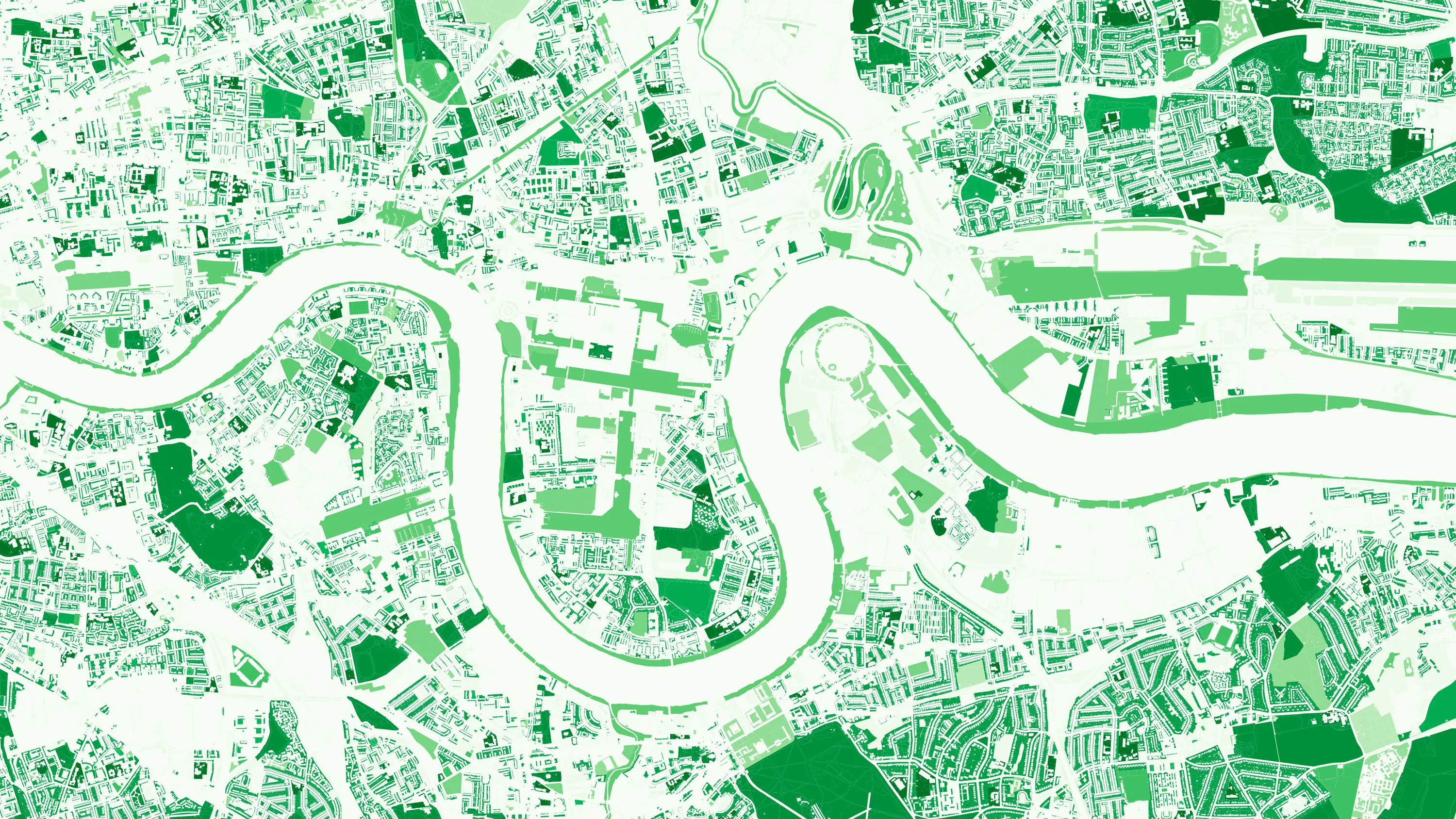
    The importance of access to green outdoor spaces in relation to health and wellbeing is clear. However, deprived areas are less likely to have access to green space and gardens.

    In 2021 the Government allocated £9 million of funding to a ‘Levelling Up Parks Fund’ to help...

  • Identifying and tackling crime hotspots with location intelligence

    Identifying and tackling crime hotspots with location intelligence

    Identifying and tackling crime hotspots with location intelligence

    The first duty of the government is to keep citizens safe and the country secure.

    Working with 29 separate agencies and public bodies including the Police Advisory Board for England and Wales, the Security Service, the Advisory Council on the Misuse of Drugs, Gangmasters and Labour Abuse A...

  • Unlocking vital insight in less time

    Unlocking vital insight in less time

    Unlocking vital insight in less time

    Following the tragic Grenfell Tower disaster, the Government led a programme of work delivered by Fire and Rescue Services across the country; to make high-rise residential buildings safer, and provide a better understanding of high-rise residential buildings.

  • Identifying the wider determinants of health

    Identifying the wider determinants of health

    Identifying the wider determinants of health

    Researchers at the Clinical Effectiveness Group, at Queen Mary University of London, are linking de-identified (or pseudonymised) data on 'people' and 'places,' to inform powerful health research and better location-based care.

  • Transport for West Midlands - building a world-class transport network

    Transport for West Midlands - building a world-class transport network

    Transport for West Midlands - building a world-class transport network

    Transport for West Midlands want to have a world-class transport network. To make this happen, they’re working on 20 key transport projects between now and 2026, with geospatial data underpinning many of them.

    Transport for West Midlands have also been able to access OS services and...

You have viewed 9 of 40 case studies