
Lancashire County Council (LCC) is the local authority for the county of Lancashire, in England. The county council serves everyone living and working in Lancashire, providing key services and support for the region.
Case studies
Discover how Ordnance Survey data is driving more efficient decisions in organisations like yours
Filters (1)
Showing 12 results
Page 1
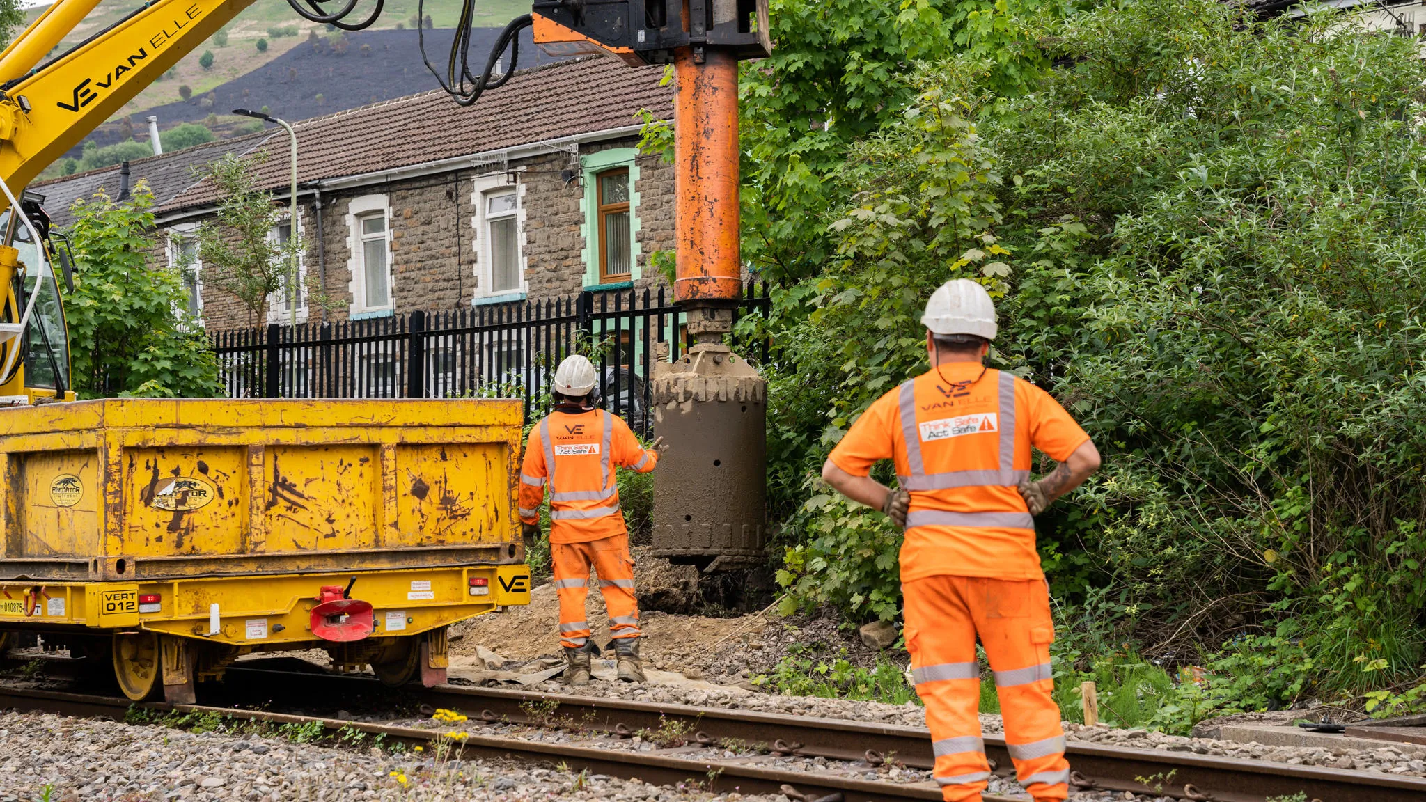
Transport for Wales is leading a major programme to modernise transport across the region, including the South Wales Metro and expanded active travel schemes. Delivering these projects requires careful management of buried utilities in a complex and historic environment. This case study highlight...

Morrison Data Services (MDS) is the largest independent multi-utility metering services company operating in the UK. It supports critical energy and water providers including British Gas, EDF, Thames Water, and Southern Water. With over 50 million energy and 9 million water meter readings made an...

National Highways are the government appointed authority responsible for operating, maintaining, and improving England’s motorways and major A roads – totalling 4,300 miles of Strategic Road Network (SRN).
The RedLine Operational Boundary that surrounds England’s Strategi...

Transport for West Midlands want to have a world-class transport network. To make this happen, they’re working on 20 key transport projects between now and 2026, with geospatial data underpinning many of them.
Transport for West Midlands have also been able to access OS services and...

Transport for London (TfL) have experimented with an e-scooter rental trial, to better understand the environmental outcomes of alternative transport.
Data was collected to assess the results of the trial and help inform future policy.

OS Partner Addresscloud provides software services to geocode and describe addresses with rooftop accuracy.
Addresscloud use data from Ordnance Survey’s AddressBase, Royal Mail (PAF), Eircode and Google Maps, to provide local intelligence for property level risk assessment, and suppo...
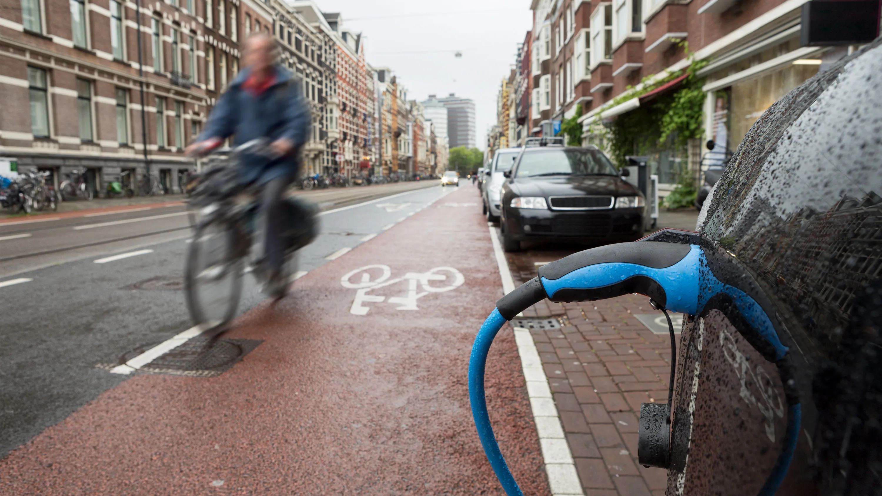
The Office for Zero Emission Vehicles (OZEV) with the Environment Statistics (ES) team at the Department for Transport (DfT) are currently planning the future provision across the UK of electric vehicle (EV) charge points, as part of the commitment by Government to reduce emissions by 2050.

To support the future of mobility, Ordnance Survey, Department for Transport (DfT) and GeoPlace have been working to make road data available and easier to work with. Vehicles are becoming more connected thanks to internet technology, this is driving the next wave of mobility innovations from mic...
You have viewed 9 of 12 case studies