Discover how Ordnance Survey data is driving more efficient decisions in organisations like yours.
Case Studies
- Page 1
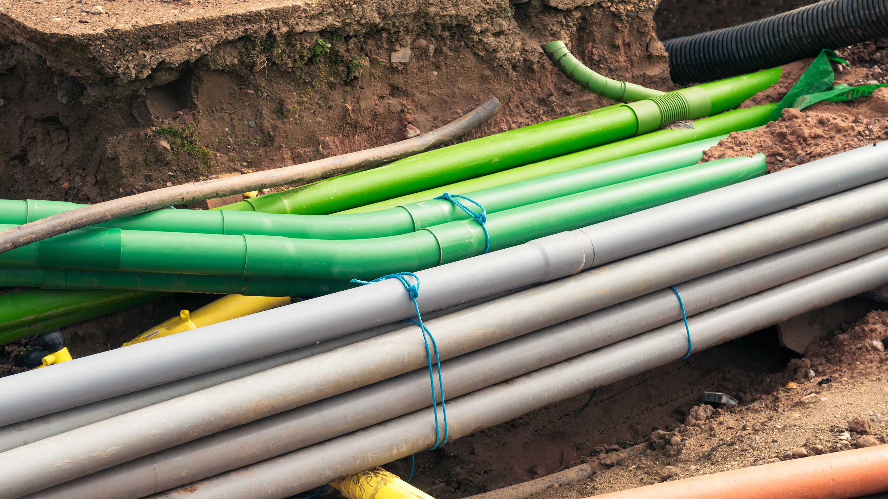
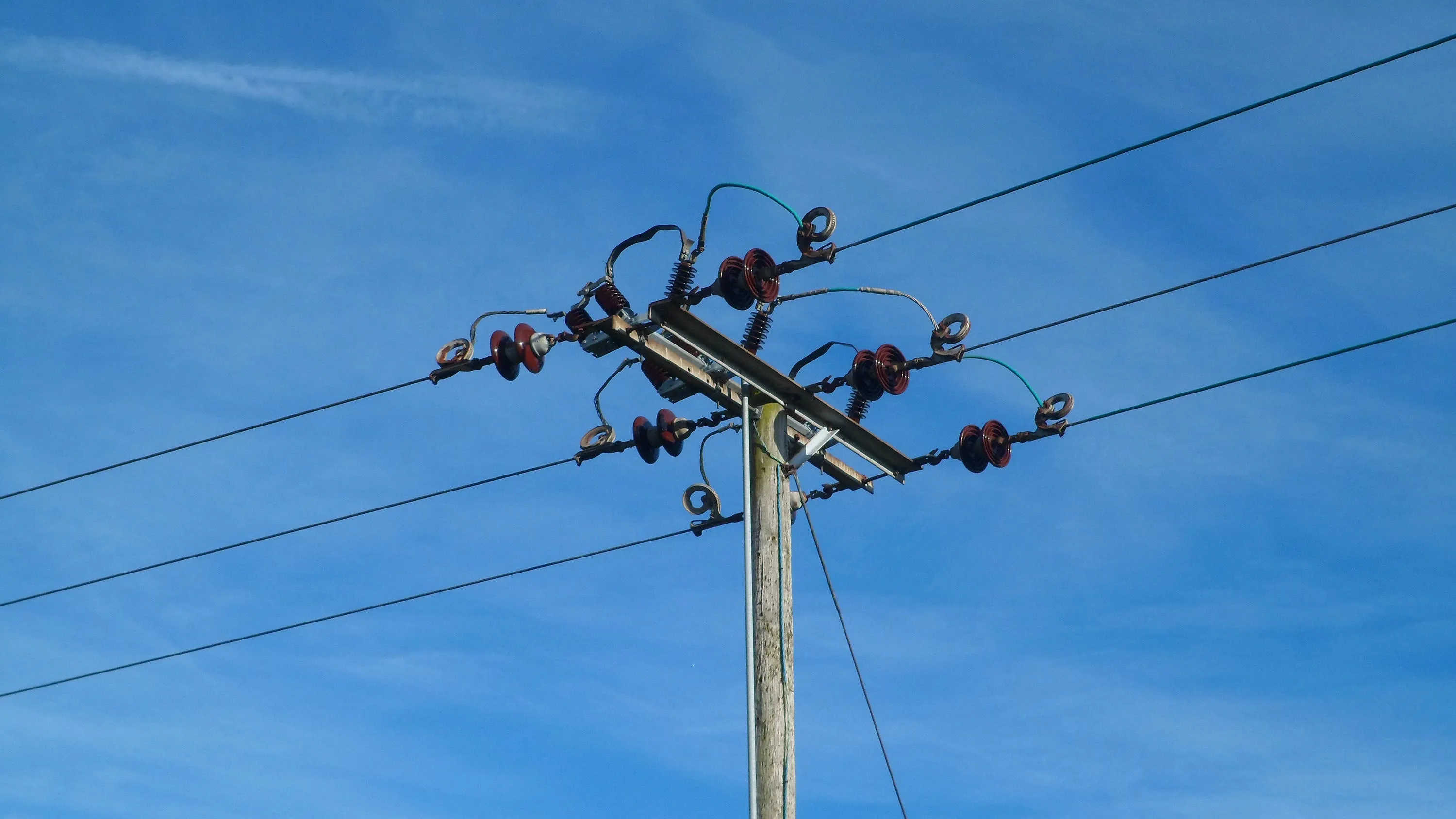
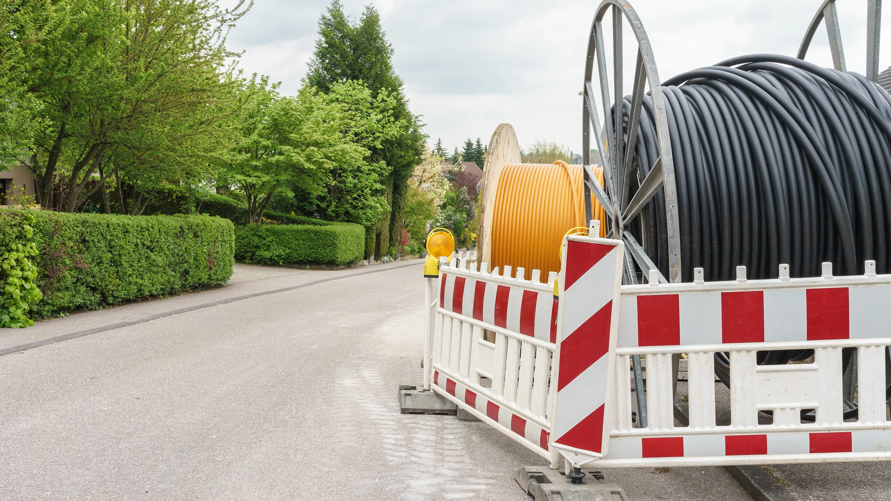
Supporting BT's fast-growing Northern Ireland network with mapping data.
BT’s Northern Ireland operations are growing fast. As the network develops, keeping track of its assets – such as ducts, kiosks, poles and cabinets – in the easiest and most cost-efficient way is par...
The communication services many of us enjoy and rely on – from television and radio, to mobile and internet – are regulated by Ofcom.
Location data gives Ofcom an accurate picture of where people are, and what services are available in different parts of the UK – to help...
Delivering estimated savings of around £1 million, Northumbrian Water and Ordnance Survey (OS) created the first Underground Infrastructure Hub for the North East.
Northumbrian Water provides water and wastewater services to just under 4.4 million people.
In 2018 it asked OS...
Scottish and Southern Energy (SSE) maintains 48,500km of high-voltage overhead power lines supported by wooden poles in Great Britain.
Ordnance Survey (OS) helped SSE to locate problems more efficiently, without the need for multiple site visits, as described in this case study.
Department of Energy and Climate Change (DECC) works with Ordnance Survey (OS) to make sure the UK has secure, clean and affordable energy supplies.
DECC has combined data from a number of different sources to create the National Energy Efficiency Data-Framework (NEED) which is used to eff...
At OS, we draw on our mapping knowledge to help other nations across the world run similar, successful large-scale events.
Northern Gas Networks (NGN) is the gas distributor for the North of England, supplying 2.7 million homes and businesses. Geospatial solutions are fundamental to NGN’s daily operations, including representing the accurate positions of assets – data that is vital for emergency response,...